Region: Ammergau Alps

  • Buchenberg from Buching

    Buchenberg from Buching

    Distance
    3.9 km
    Ascent
    338 hm
    Duration
    3:41 h
    Season
    Spring
    Weather
    18 °C, overcast
    Stroller
    No
    Carrier
    Yes
    Hut stop
    Yes Buchenbergalm
    Tour
    Day trip

    Walked once

    Date Season Distance Ascent Duration Stroller Weather
    ★ Spring 3.9 km 338 hm 3:41 h No 18 °C, overcast

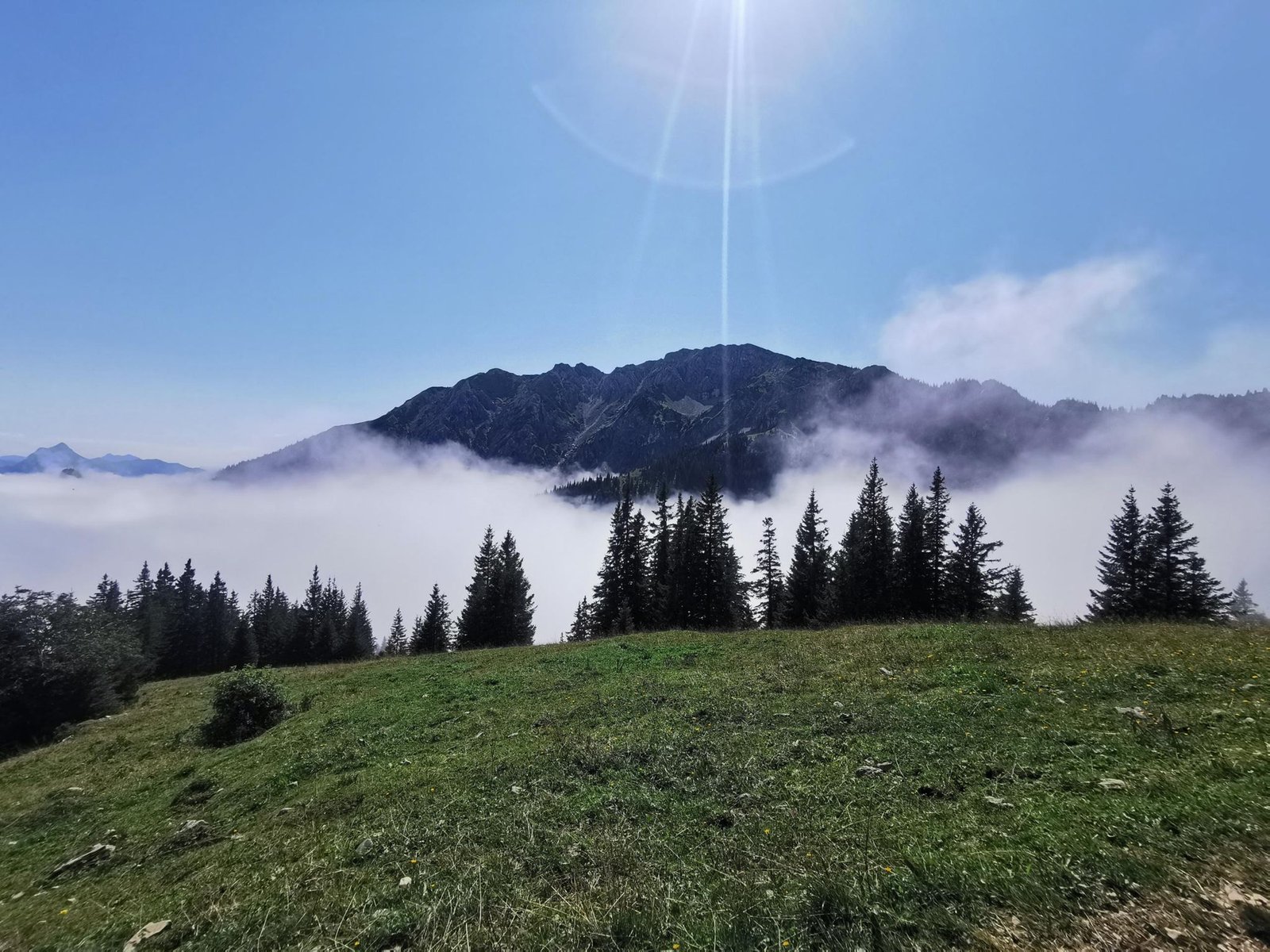
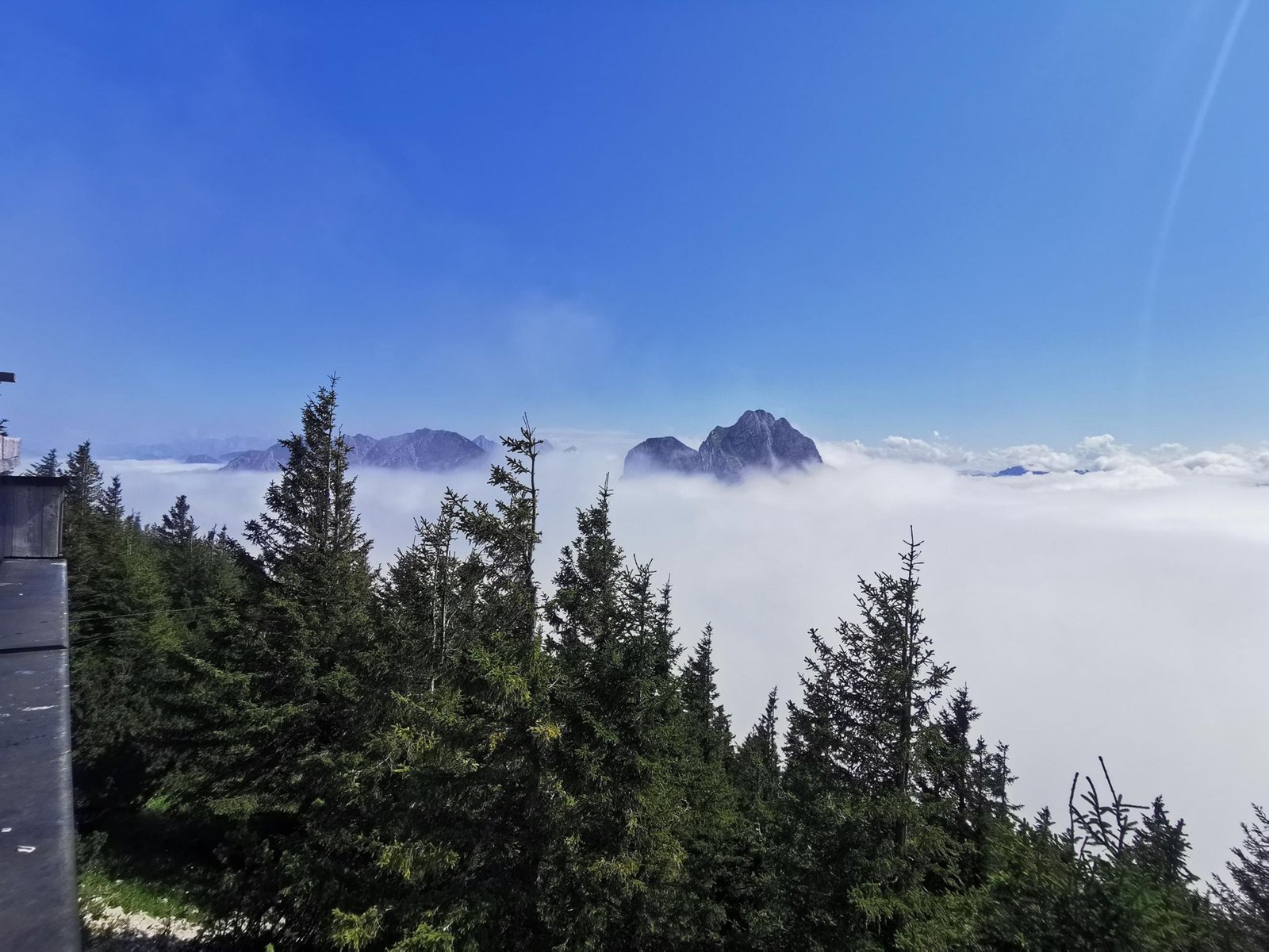
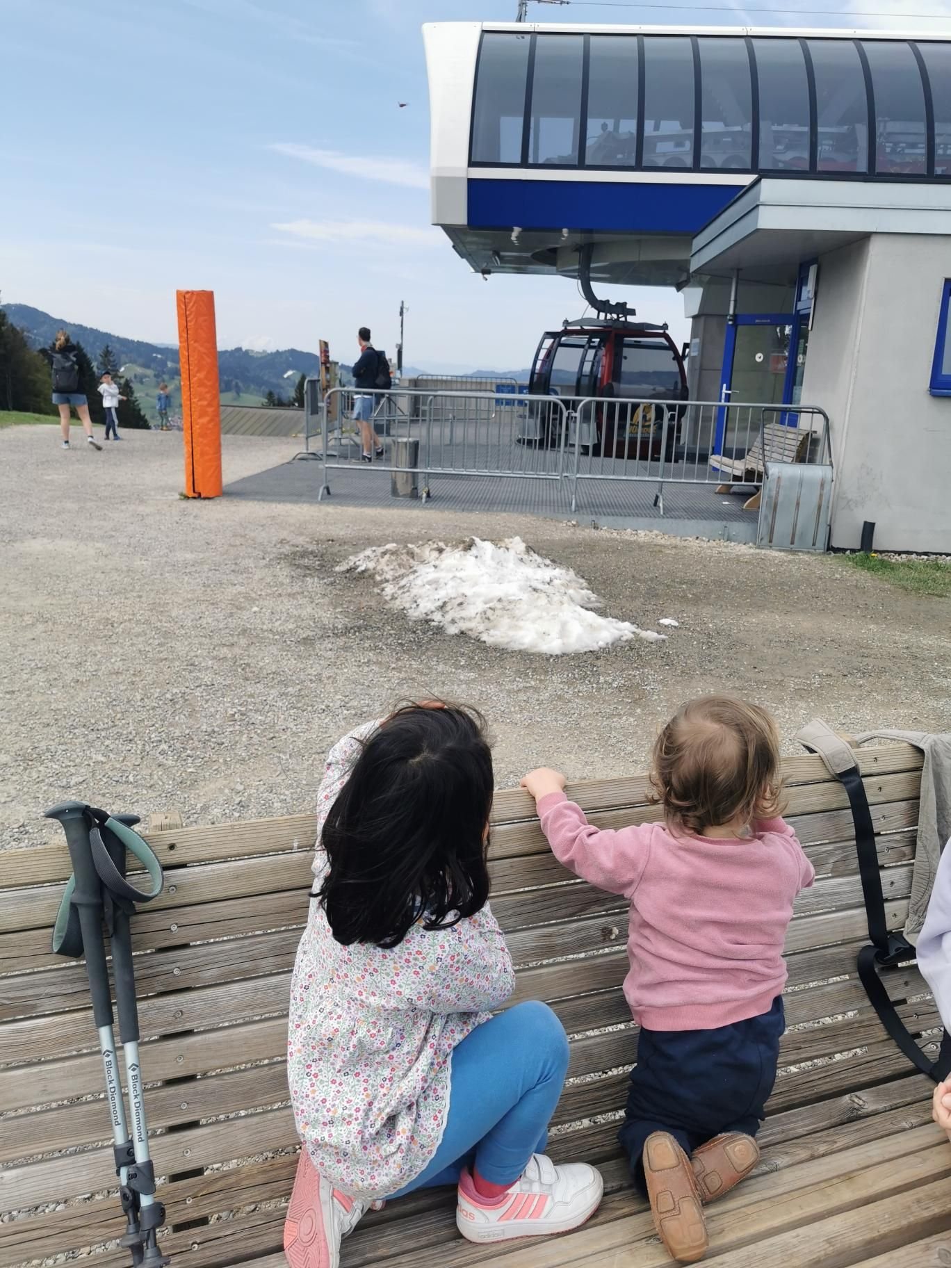
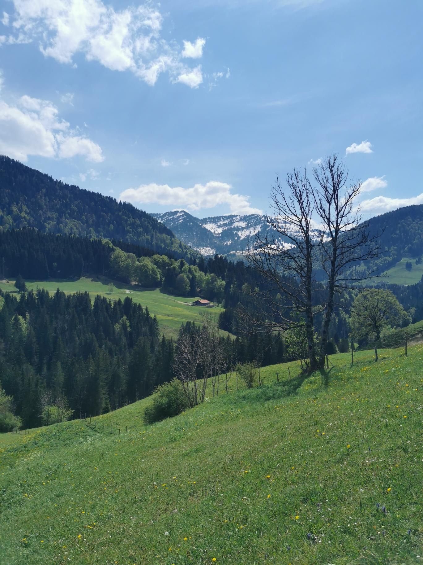
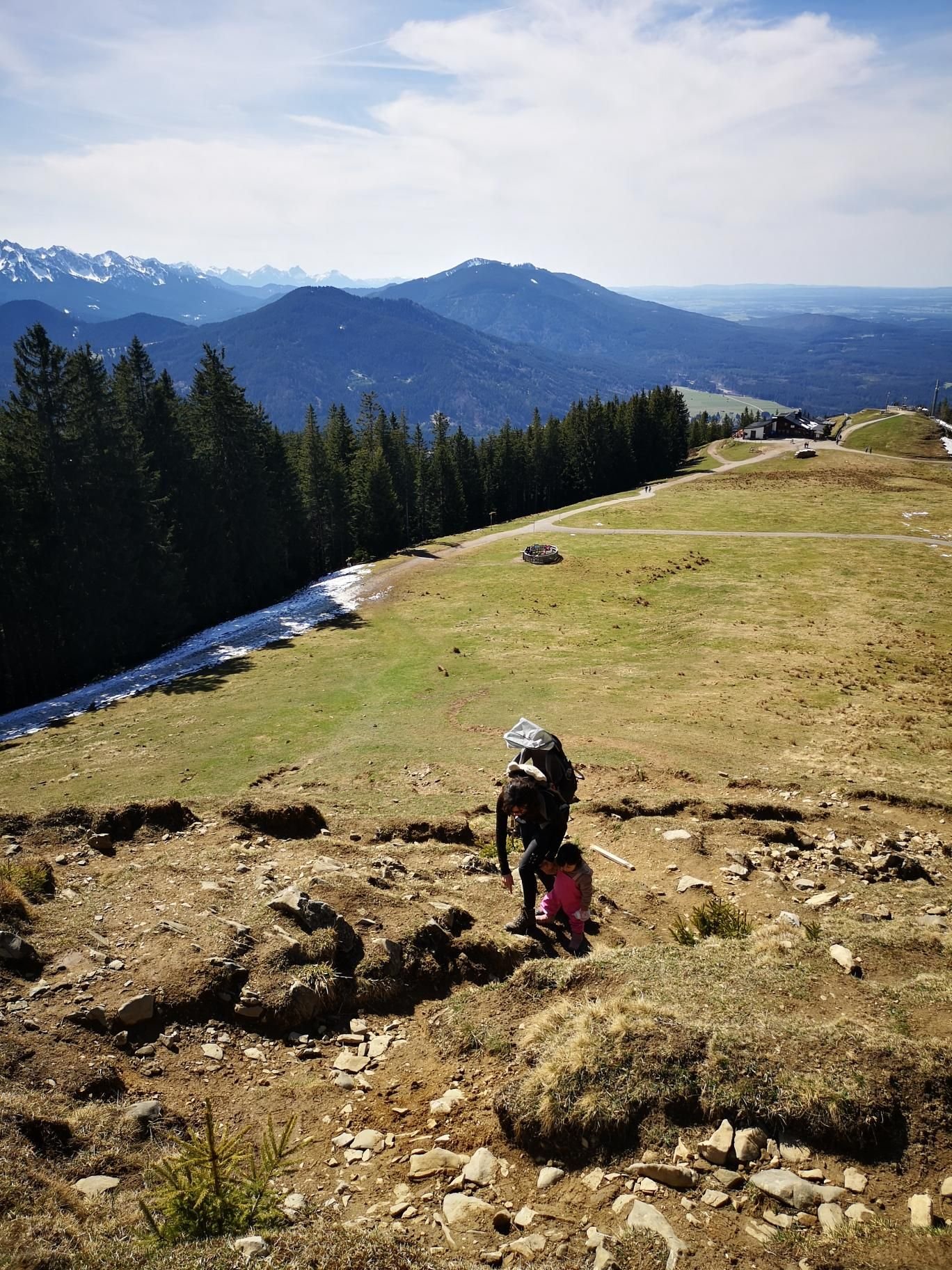
    The Buchenberg is a small viewpoint hill between Halblech and Buching, with a chairlift, a hut and views of the Forggensee and the Ammergau Alps. From Guggenbergweg it is just under four kilometres and 340 m of ascent to the Buchenbergalm and the top.

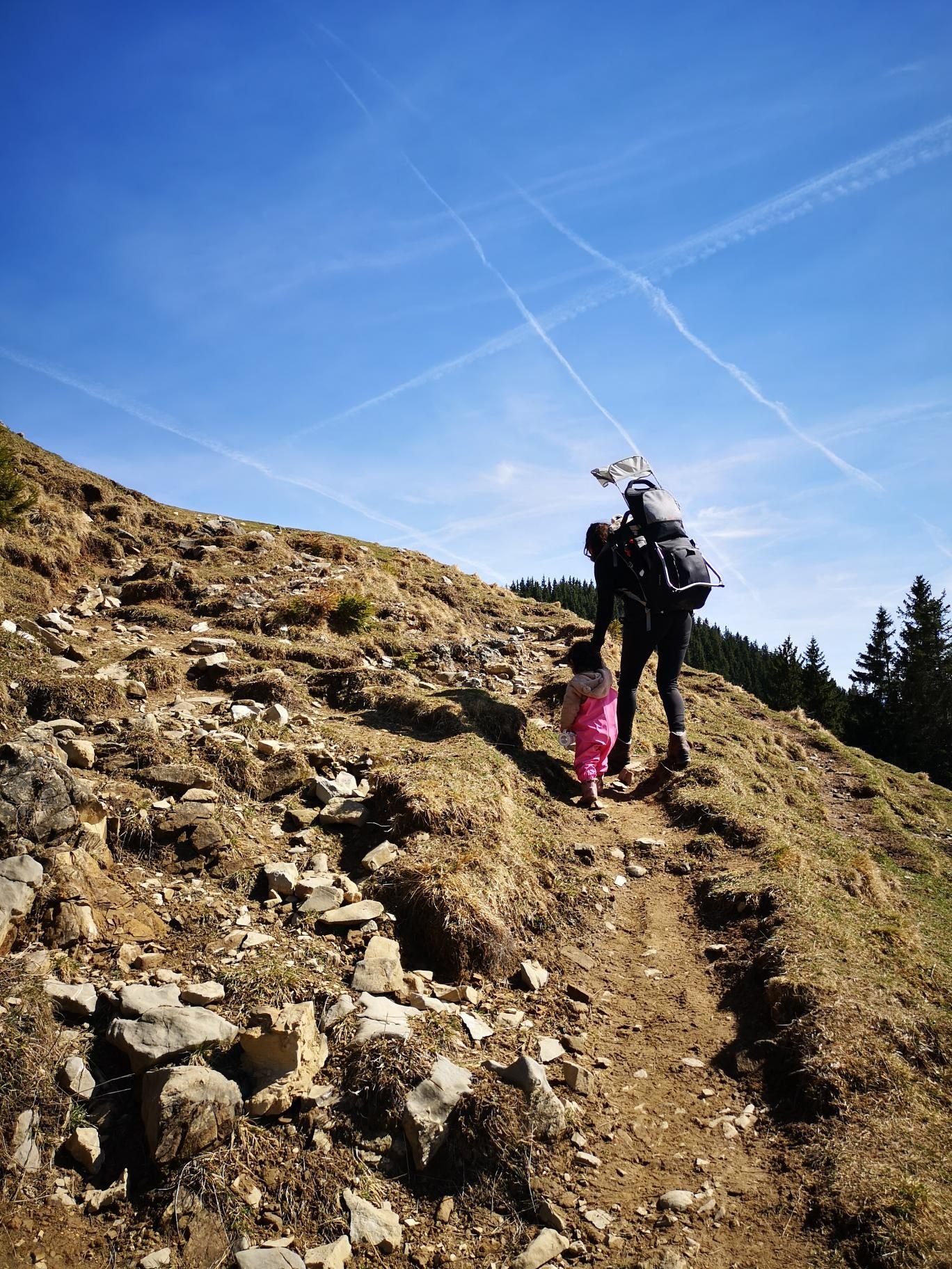
    In April 2025, overcast at 18 °C, Magalie did the whole way herself – three and a half hours from start to finish, with everything interesting along the way.

    A good first mountain to walk on your own: short, safe, with the lift as a joker for the way down.

    Gallery

    3D map

    Hut stop

  • Breitenberg kids’ trails, Pfronten

    Breitenberg kids’ trails, Pfronten

    Distance
    6.1 km
    Ascent
    347 hm
    Duration
    4:25 h
    Season
    Summer
    Weather
    18 °C, partly cloudy
    Stroller
    No
    Carrier
    Yes
    Hut stop
    Yes Ostlerhütte
    Tour
    Day trip

    Walked once

    Date Season Distance Ascent Duration Stroller Weather
    ★ Summer 6.1 km 347 hm 4:25 h No 18 °C, partly cloudy

    The Breitenberg above Pfronten is a mountain for families because the Breitenbergbahn does the climbing: at the top wait the Hochalphütte (1,510 m), the Berghaus Allgäu and the kids’ trails with stations, and if you like you continue to the Ostlerhütte right on the summit (1,838 m).

    In August 2024 that was 6.1 km and 347 m of ascent in a good four hours, partly cloudy at 18 °C. The kids’ trails were the programme, the Ostlerhütte the reward with views over Pfronten.

    Little ascent, lots of view, three huts: a relaxed mountain day with no need for the carrier.

    Gallery

    3D map

    Hut stop

  • Hündlekopf from Oberstaufen

    Hündlekopf from Oberstaufen

    Distance
    8.9 km
    Ascent
    322 hm
    Duration
    4:20 h
    Season
    Spring
    Weather
    21 °C, overcast
    Stroller
    No
    Carrier
    Yes
    Hut stop
    Yes Sennalpe Oberhündle
    Tour
    Day trip

    Walked once

    Date Season Distance Ascent Duration Stroller Weather
    ★ Spring 8.9 km 322 hm 4:20 h No 21 °C, overcast

    The Hündlekopf is Oberstaufen’s home mountain, surrounded by dairy huts: Sonnhalde, Bärenschwand and Oberhündle. From the Hündle mountain restaurant you go over the pastures to the summit (1,112 m) and the Hochsiedel (1,126 m), then down the ski piste.

    On 1 May 2024 that was 8.9 km and 322 m of ascent in a good four hours, overcast at 21 °C. The piste down was the best part of the tour for the kids.

    Gentle Allgäu foothills, no rock, lots of meadow – good for the carrier and for small legs that already manage a few kilometres.

    Gallery

    3D map

    Hut stop

  • Hörnle from Bad Kohlgrub

    Hörnle from Bad Kohlgrub

    Distance
    4.5 km
    Ascent
    568 hm
    Duration
    2:40 h
    Season
    Spring
    Weather
    16 °C, overcast
    Stroller
    No
    Carrier
    Yes
    Hut stop
    Yes Hörnlehütte
    Tour
    Day trip

    Walked once

    Date Season Distance Ascent Duration Stroller Weather
    ★ Spring 4.5 km 568 hm 2:40 h No 16 °C, overcast

    The Hörnle stands right above Bad Kohlgrub, and the way up is as short as it is steep: from Fallerstraße through the woods to the Hörnlehütte (1,390 m) and on to the Vorderes Hörnle (1,484 m). If you like, take the chairlift down.

    In April 2022, at 16 °C under an overcast sky, we were up and back down in two hours forty minutes – 4.5 km and 568 m of ascent, carrier hike number 23.

    Ideal for the carrier because it is short; for small legs it is steep, but the goal is in view the whole time.

    Gallery

    3D map

    Hut stop

  • Pürschling – August-Schuster-Haus from Unterammergau

    Pürschling – August-Schuster-Haus from Unterammergau

    Distance
    13.0 km
    Ascent
    915 hm
    Duration
    3:51 h
    Season
    Summer
    Weather
    15 °C, partly cloudy
    Stroller
    No
    Carrier
    Yes
    Hut stop
    Yes August-Schuster-Haus
    Tour
    Day trip

    Walked once

    Date Season Distance Ascent Duration Stroller Weather
    ★ Summer 13.0 km 915 hm 3:51 h No 15 °C, partly cloudy

    The Pürschling is Unterammergau’s home mountain, with the August-Schuster-Haus right on top. We went up from Liftweg, over the Teufelstättkopf (1,758 m) and Auf dem Stein to the hut at 1,564 m, and back via Steckenbergalm and Schleifmühle.

    In August 2021 that was 13 km and 915 m of ascent in just under four hours, partly cloudy at 15 °C – one of our first big carrier hikes. The ridge between Teufelstättkopf and the hut is the finest part.

    Carrier and practised kids’ legs only; the hut is placed so you can also head straight for it without the summit.

    Gallery

    3D map

    Hut stop