Region: Chiemgau

  • Winklmoosalm and Scheibelberg from Reit im Winkl

    Winklmoosalm and Scheibelberg from Reit im Winkl

    Distance
    8.7 km
    Ascent
    435 hm
    Duration
    5:36 h
    Season
    Summer walked 3×
    Weather
    22 °C, partly cloudy
    Stroller
    No
    Carrier
    Yes
    Hut stop
    Yes Winklmoosalm
    Tour
    Day trip

    Walked 3 times

    Date Season Distance Ascent Duration Stroller Weather
    Summer 5.9 km 194 hm 2:32 h No 24 °C, partly cloudy
    Summer 8.5 km 370 hm 5:09 h No 15 °C, partly cloudy
    ★ Summer 8.7 km 435 hm 5:36 h No 22 °C, partly cloudy

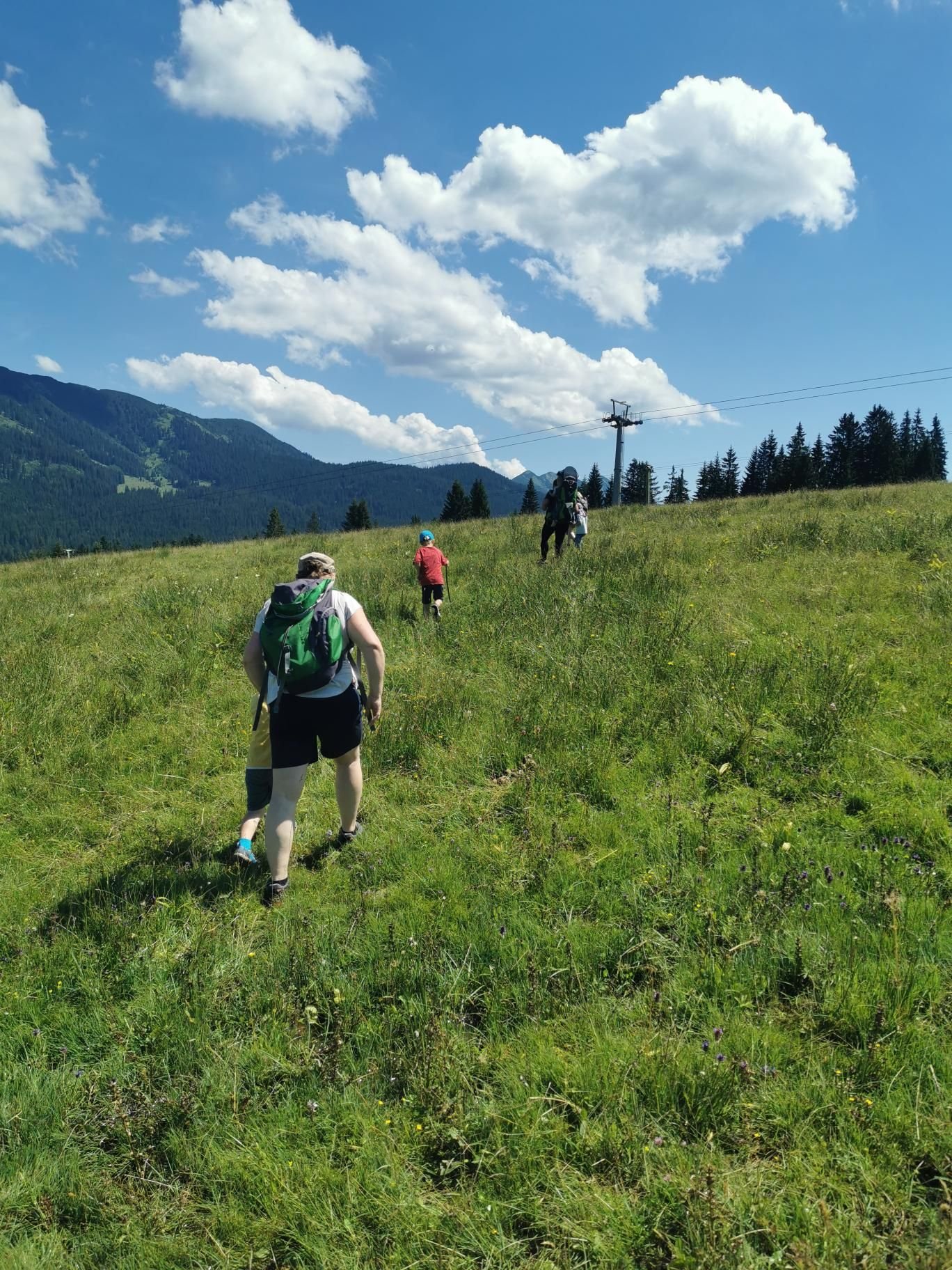
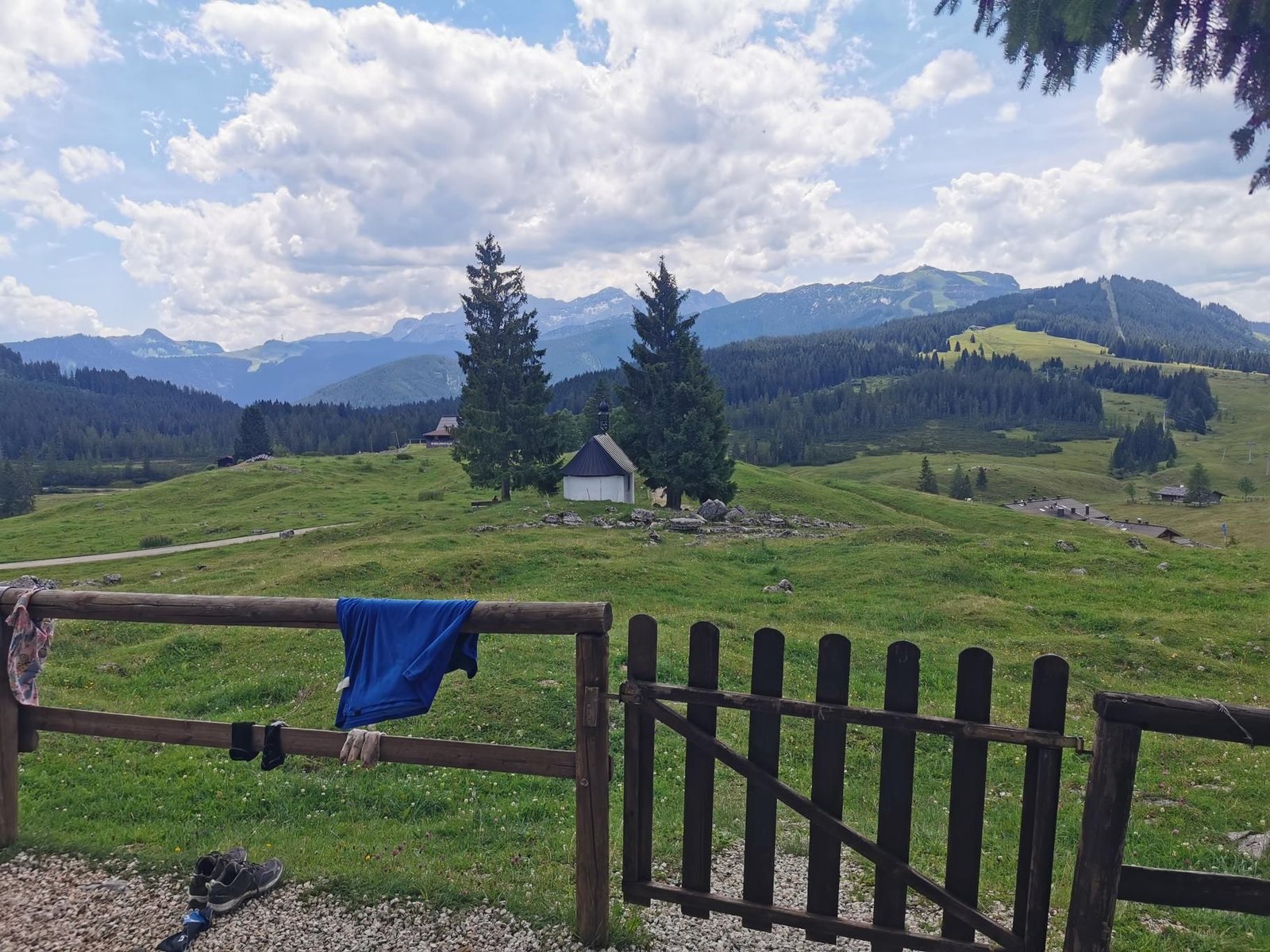
    The Winklmoosalm is a high plateau at 1,160 m with several huts, playgrounds and the DAV’s Winklmooshütte – a place where kids stay for hours. From the car park on Dürrnbachhornweg the huts are an hour away.

    In July 2024 we were there with the kids’ group, six kilometres, and Magalie walked it all herself. In 2025 and 2026 we climbed on to the Scheibelberg (1,465 m), a gentle summit above the pastures with views to the Loferer Steinberge – a good eight and a half kilometres and about 400 m of ascent, five to five and a half hours.

    The huts can be reached with a pushchair (alpine road); the Scheibelberg is carrier or kids’-legs terrain.

    Gallery

    3D map

    Hut stop

  • Schwarzrieshütte from Samerberg

    Schwarzrieshütte from Samerberg

    Distance
    7.2 km
    Ascent
    260 hm
    Duration
    4:34 h
    Season
    Spring, Autumn walked 2×
    Weather
    11 °C, overcast
    Stroller
    No
    Carrier
    Yes
    Hut stop
    Yes Schwarzrieshütte
    Tour
    Day trip

    Walked 2 times

    Date Season Distance Ascent Duration Stroller Weather
    ★ Autumn 7.2 km 260 hm 4:34 h No 11 °C, overcast
    Spring 8.5 km 277 hm 5:21 h No 24 °C, sunny

    When time is short or the grandparents come along: the Schwarzrieshütte at 973 m is a good hour from Bärenweg on the Samerberg, seven to eight kilometres there and back with just under 280 m of ascent. The path is wide and family-friendly, the Wagner-Alm right next door.

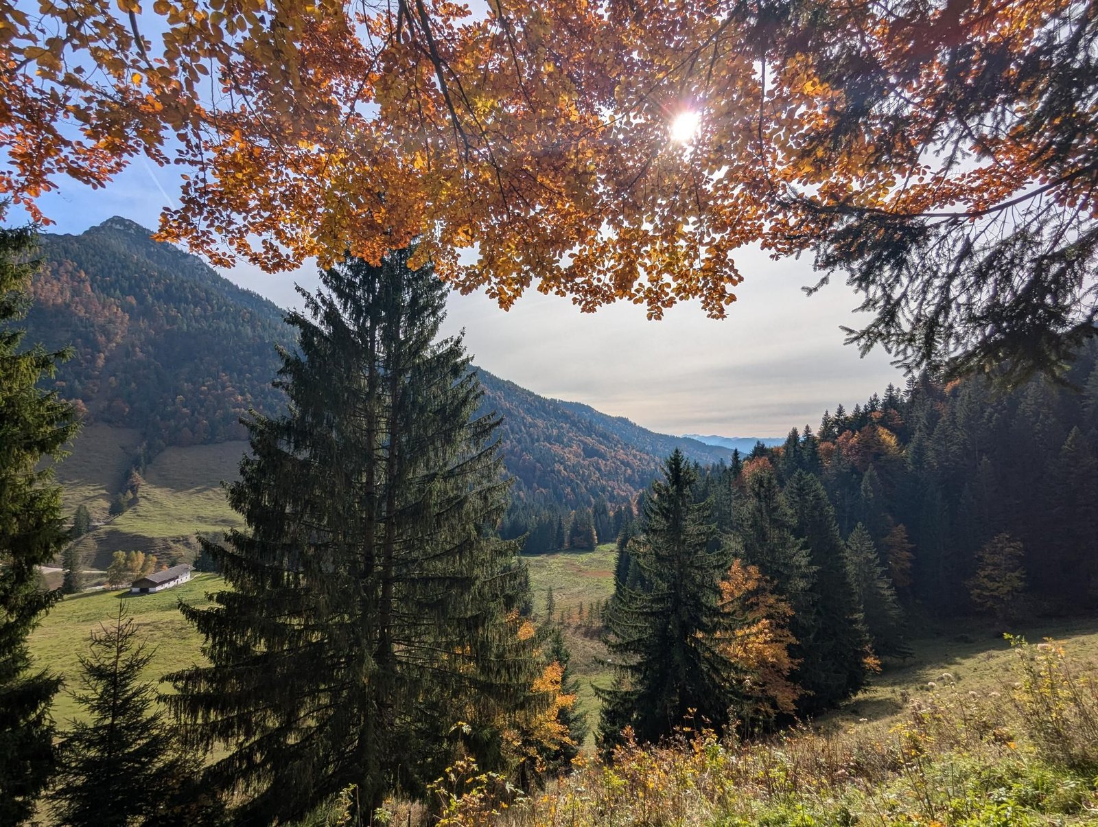
    In October 2025 we ate our way through the menu – Kaspressknödel soup, Topfenstrudel, Leberkäse –, and in May 2026 with grandma and grandpa schnitzel and cake joined in. Both times over five hours from start to finish, which says everything about the ratio of walking to sitting.

    Just right for kids on their own feet, fine with the carrier of course; we haven’t tried it with the trailer, but the track should allow it.

    Gallery

    3D map

    Hut stop

  • Staffn-Alm from Rottau

    Staffn-Alm from Rottau

    Distance
    12.0 km
    Ascent
    544 hm
    Duration
    6:32 h
    Season
    Autumn
    Weather
    16 °C, sunny
    Stroller
    No
    Carrier
    Yes
    Hut stop
    Yes Staffn-Alm
    Tour
    Day trip

    Walked once

    Date Season Distance Ascent Duration Stroller Weather
    ★ Autumn 12.0 km 544 hm 6:32 h No 16 °C, sunny

    The way from Rottau to Marquartstein collects huts: first the Hefteralm (880 m), then the Rachlalm (910 m), finally the Staffn-Alm at 1,050 m with the Torkopf next to it. All on forest and pasture tracks, all serving food.

    In October 2024 that was twelve kilometres and 544 m of ascent in a good six and a half hours, at 16 °C in sunshine – carrier hike number 55 and one of the most relaxed.

    As a through-hike with two cars or the bus back; for a loop, return to Rottau from the Staffn-Alm.

    Gallery

    3D map

    Hut stop

  • Staudacher Alm and Drei Sennerinnen from Marquartstein

    Staudacher Alm and Drei Sennerinnen from Marquartstein

    Distance
    13.0 km
    Ascent
    682 hm
    Duration
    6:00 h
    Season
    Summer
    Weather
    18 °C, partly cloudy
    Stroller
    No
    Carrier
    Yes
    Hut stop
    Yes Staudacher Alm
    Tour
    Day trip

    Walked once

    Date Season Distance Ascent Duration Stroller Weather
    ★ Summer 13.0 km 682 hm 6:00 h No 18 °C, partly cloudy

    From the edge of Marquartstein the path climbs through the woods to the Staudacher Alm (Schmiedkaser, 1,142 m), and if you still have breath you walk the few metres more onto the Drei Sennerinnen (1,185 m), a viewpoint knoll above the Achen valley.

    In July 2024 that was 13 km and 682 m of ascent in six hours, partly cloudy at 18 °C, as a loop descending to Staudach. The hut is serviced and sits exactly right for the break.

    A classic Chiemgau pasture day with the carrier: forest paths, meadows, cows, no rock.

    Gallery

    3D map

    Hut stop

  • Feichteck from Samerberg

    Feichteck from Samerberg

    Distance
    12.1 km
    Ascent
    540 hm
    Duration
    5:40 h
    Season
    Autumn
    Weather
    10 °C, sunny
    Stroller
    Yes
    Carrier
    Yes
    Hut stop
    Yes Feichteckalm
    Tour
    Day trip

    Walked once

    Date Season Distance Ascent Duration Stroller Weather
    ★ Autumn 12.1 km 540 hm 5:40 h Yes 10 °C, sunny

    The Samerberg is trailer country: wide alpine roads, gentle gradients, a hut every few kilometres. From Bärenweg you climb via the Wagner-Alm (1,050 m) to the Feichteckalm at 1,350 m below the Pölcher Schneid – the Feichteck itself (1,514 m) sits above it, a short walk we skipped with the trailer.

    In October 2023 that was twelve kilometres and 540 m of ascent in a good five and a half hours, at ten degrees in sunshine, our eighth tour with the double trailer. Two huts on the way means two breaks.

    On foot the detour to the Feichteck and the loop over the saddle are worth it; with the trailer you stay on the road and still get a full day.

    With and without the trailer

    With the double trailer: alpine road to the Feichteckalm, 12.1 km and 540 m of ascent. Without the trailer: on to the Feichteck summit (1,514 m), about 200 m more.

    Gallery

    3D map

    Hut stop

  • Priener Hütte from Sachrang

    Priener Hütte from Sachrang

    Distance
    16.3 km
    Ascent
    689 hm
    Duration
    6:41 h
    Season
    Early summer, Summer walked 2×
    Weather
    24 °C, sunny
    Stroller
    Yes
    Carrier
    Yes
    Hut stop
    Yes Priener Hütte
    Tour
    Day trip

    Walked 2 times

    Date Season Distance Ascent Duration Stroller Weather
    Early summer 13.0 km 729 hm 6:05 h No 19 °C, partly cloudy
    ★ Summer 16.3 km 689 hm 6:41 h Yes 24 °C, sunny

    This is where it all began: hiking with the carrier #1, June 2021, from Sachrang up to the Priener Hütte at 1,410 m. The route climbs evenly along the alpine road and meadows; the hut sits below the Geigelstein looking out over the Chiemgau. 13 km and 730 m of ascent in six hours – a long day with a baby on your back.

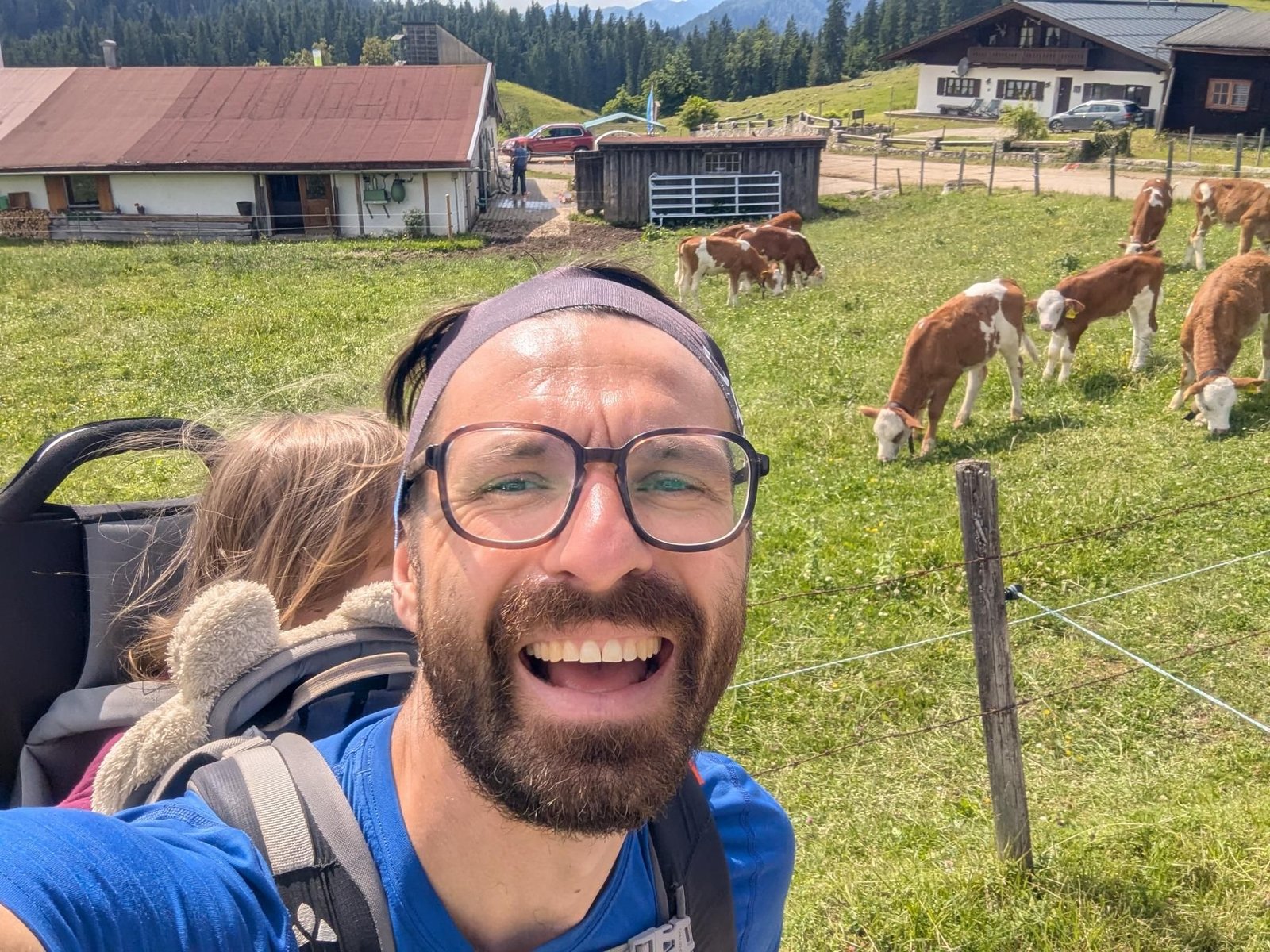
    In August 2023 we came back, this time with the double trailer, and because the route is almost entirely an access road it worked: 16.3 km and 690 m of ascent at 24 °C in sunshine, a good six and a half hours with a long hut stop. The map shows that walk.

    Without the trailer you can shortcut a few of the road’s hairpins on footpaths from the Schreckalm; the hut itself is a kids’ paradise with meadow, cows and Kaiserschmarrn.

    With and without the trailer

    With the double trailer (2023): the alpine road up to the hut, 16.3 km and 690 m of ascent. Without the trailer (2021): 13 km, on footpaths from the Schreckalm.

    Gallery

    3D map

    Hut stop