Region: Mediterranean

  • To Tunarica bay, Istria

    To Tunarica bay, Istria

    Distance
    6.4 km
    Ascent
    166 hm
    Duration
    2:31 h
    Season
    Spring
    Weather
    19 °C, sunny
    Stroller
    No
    Carrier
    Yes
    Hut stop
    No
    Tour
    Day trip

    Walked once

    Date Season Distance Ascent Duration Stroller Weather
    ★ Spring 6.4 km 166 hm 2:31 h No 19 °C, sunny

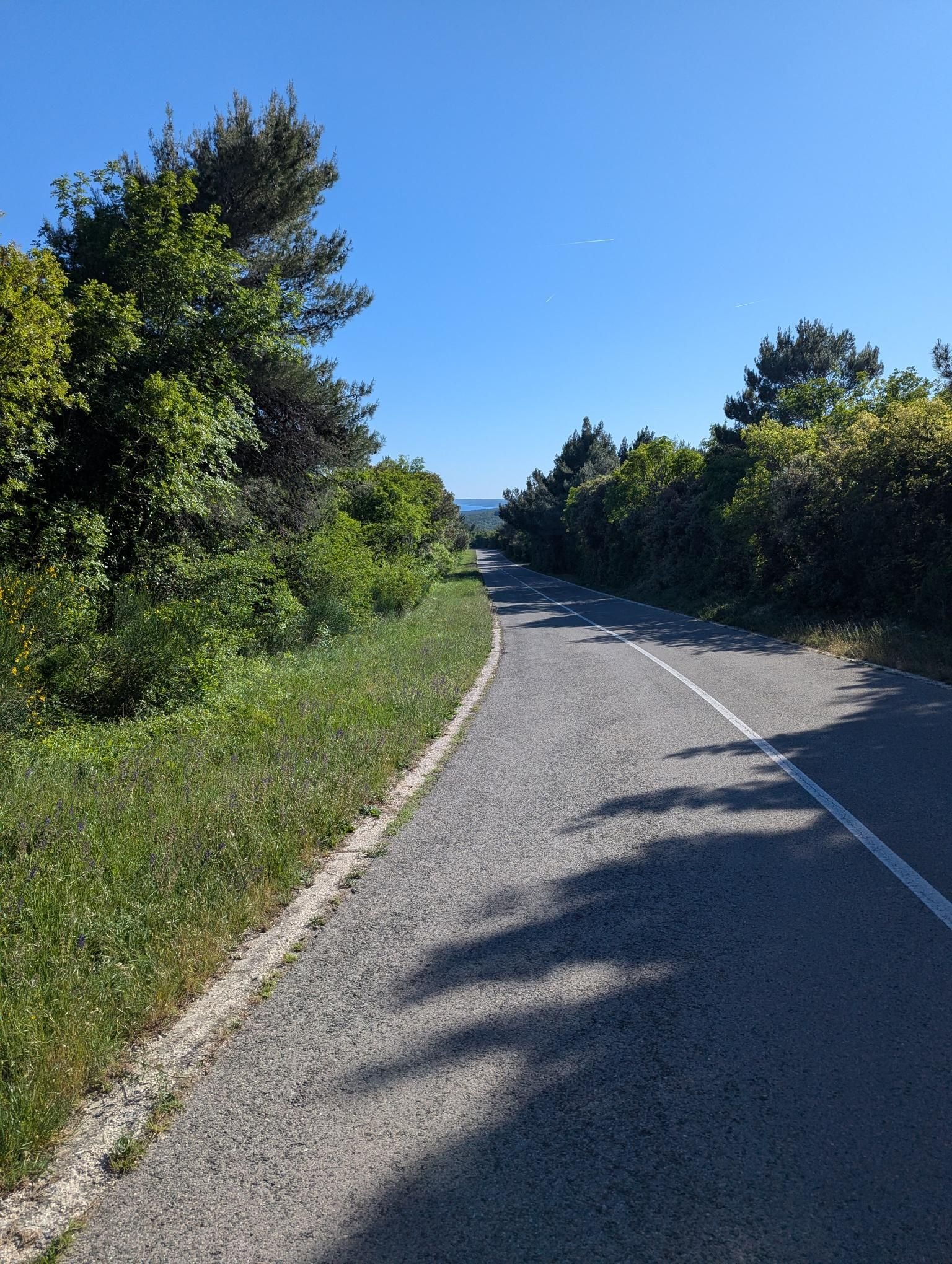
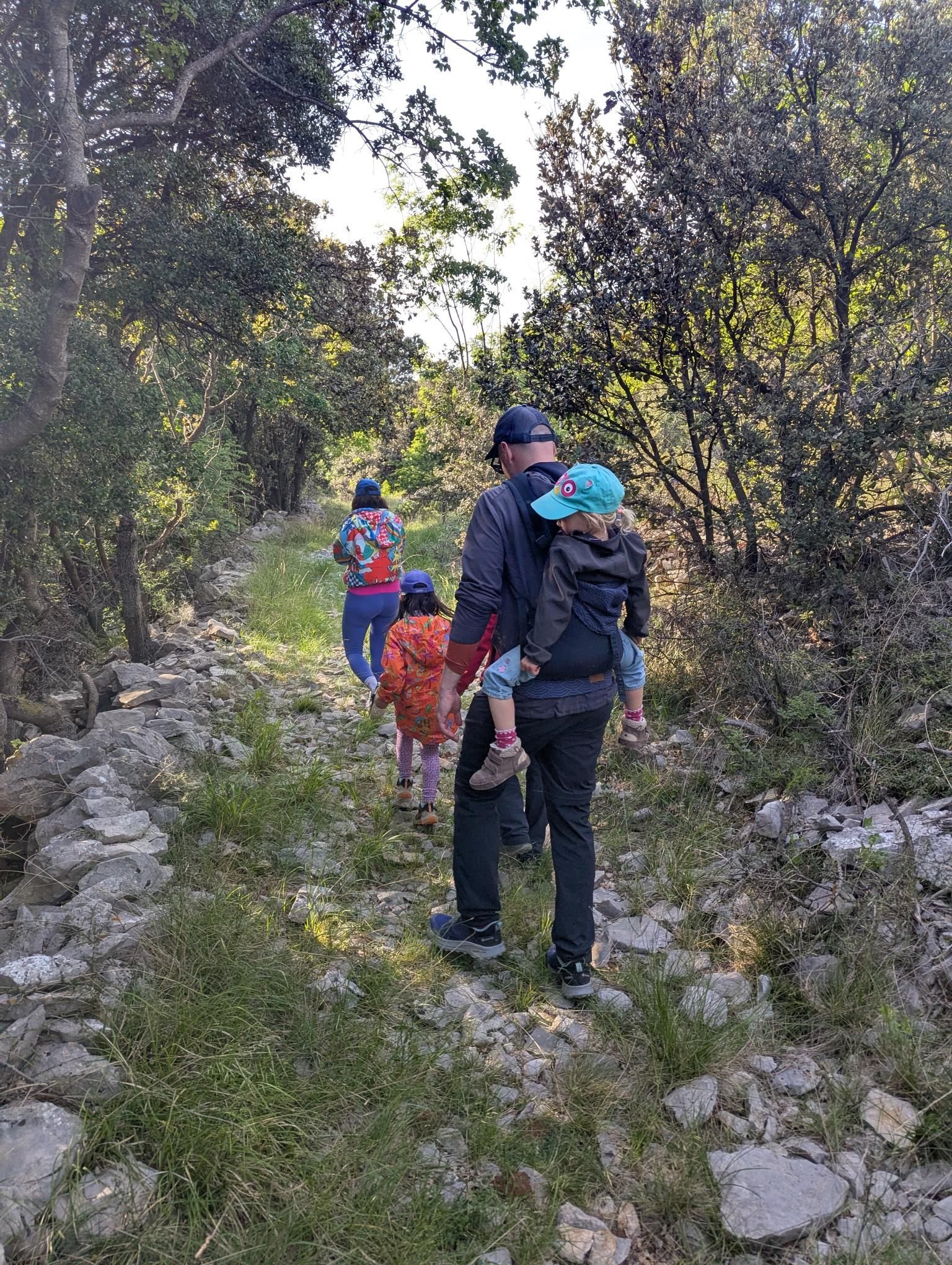
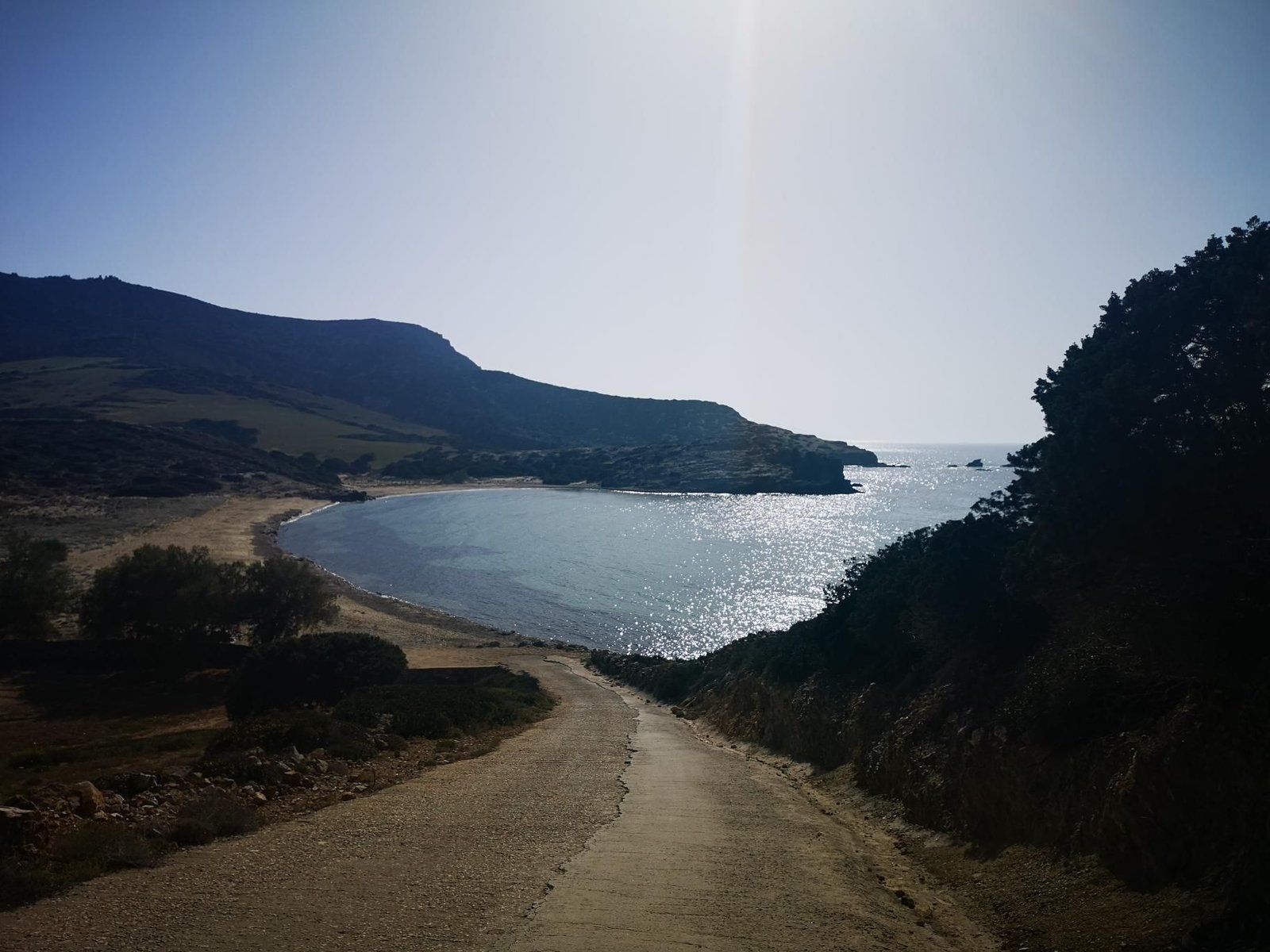
    Tunarica bay lies below the holiday house on Istria’s east coast, a pebble beach between rocks. From Sveti Lovreč Labinski a path leads down through the woods to the water.

    On 1 May 2026, sunny at 19 °C, we walked down and jogged back – 6.4 km, 166 m of ascent, two and a half hours including the beach.

    Short, shady, with a swim at the end: the afternoon programme for hot days.

    Gallery

    3D map

  • Brdo hill near Sveti Lovreč Labinski, Istria

    Brdo hill near Sveti Lovreč Labinski, Istria

    Distance
    8.5 km
    Ascent
    420 hm
    Duration
    4:20 h
    Season
    Spring
    Weather
    17 °C, overcast
    Stroller
    No
    Carrier
    Yes
    Hut stop
    No
    Tour
    Day trip

    Walked once

    Date Season Distance Ascent Duration Stroller Weather
    ★ Spring 8.5 km 420 hm 4:20 h No 17 °C, overcast

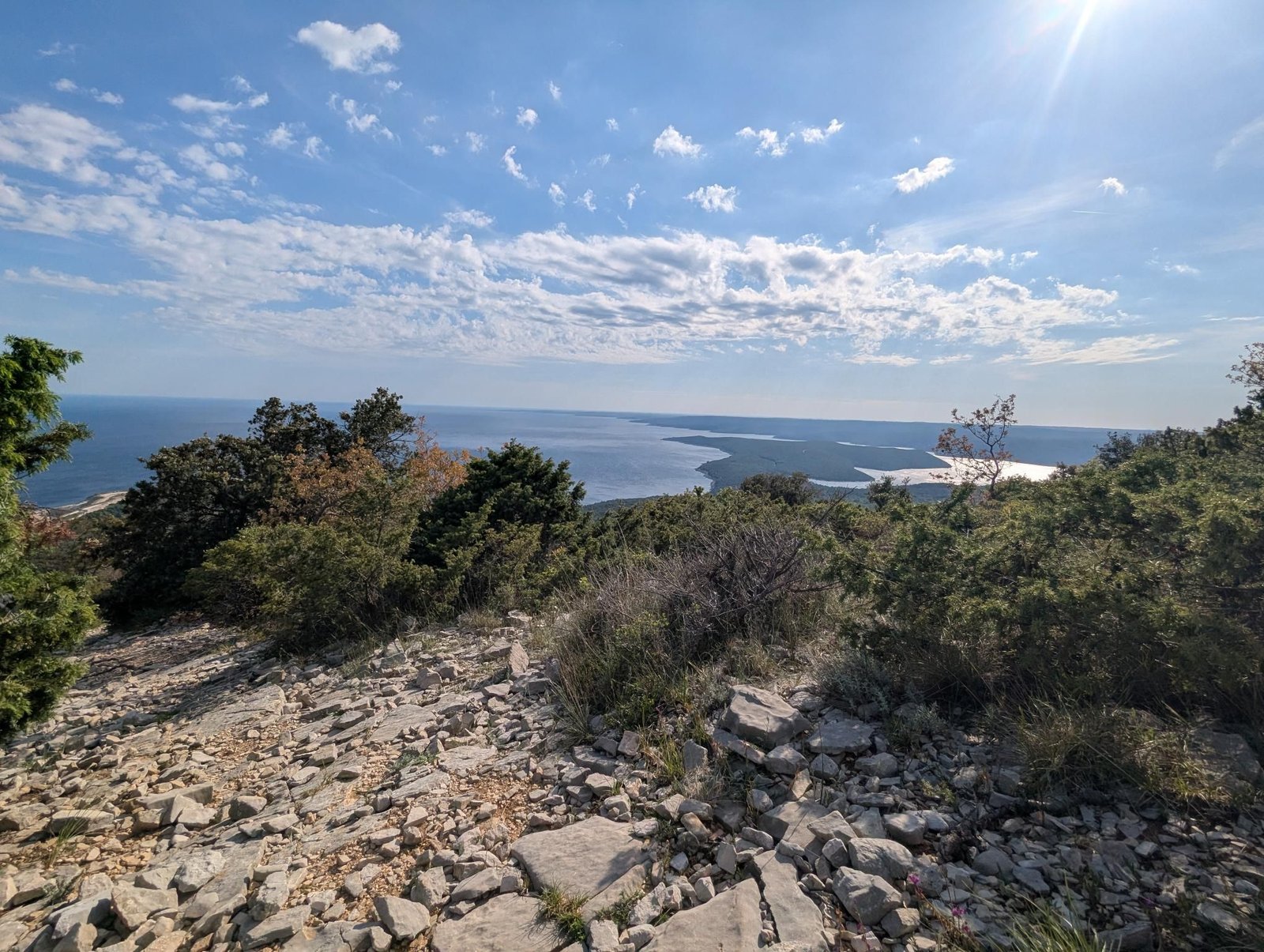
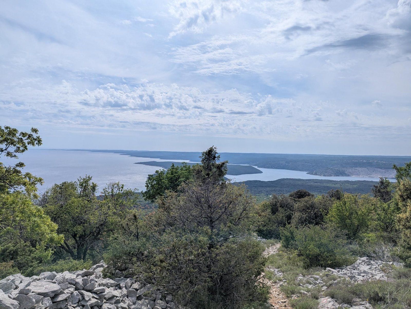
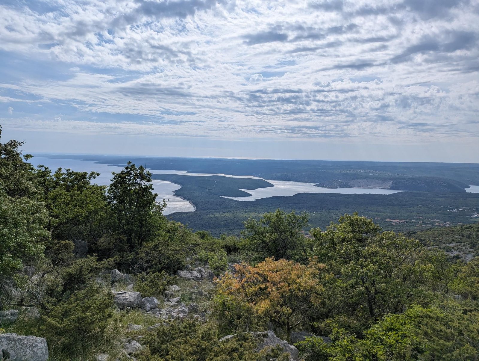
    Brdo is the hill above Istria’s east coast near Labin, 475 metres high, looking across to Cres and the Kvarner Gulf. From Sveti Lovreč Labinski farm tracks and paths climb through macchia and holm oak forest.

    In late April 2026, overcast at 17 °C, that was 8.5 km and 420 m of ascent in a good four hours – the first afternoon of the Istria holiday.

    A coastal hill without a hut, but with sea on both sides; the carrier for the way back.

    Gallery

    3D map

  • Theth to Rragam, Albanian Alps

    Theth to Rragam, Albanian Alps

    Distance
    15.3 km
    Ascent
    1,060 hm
    Duration
    7:10 h
    Season
    Late summer
    Weather
    17 °C, overcast
    Stroller
    No
    Carrier
    Yes
    Hut stop
    Yes 'Gurra Family' Guesthouse
    Tour
    Day trip

    Walked once

    Date Season Distance Ascent Duration Stroller Weather
    ★ Late summer 15.3 km 1,060 hm 7:10 h No 17 °C, overcast

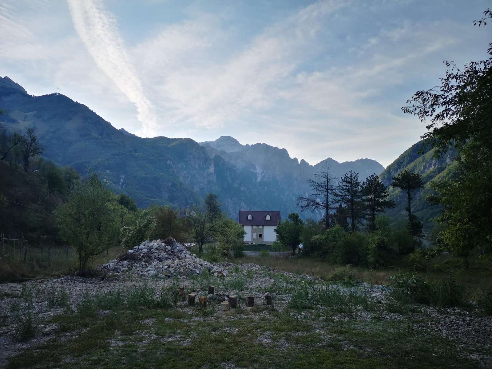
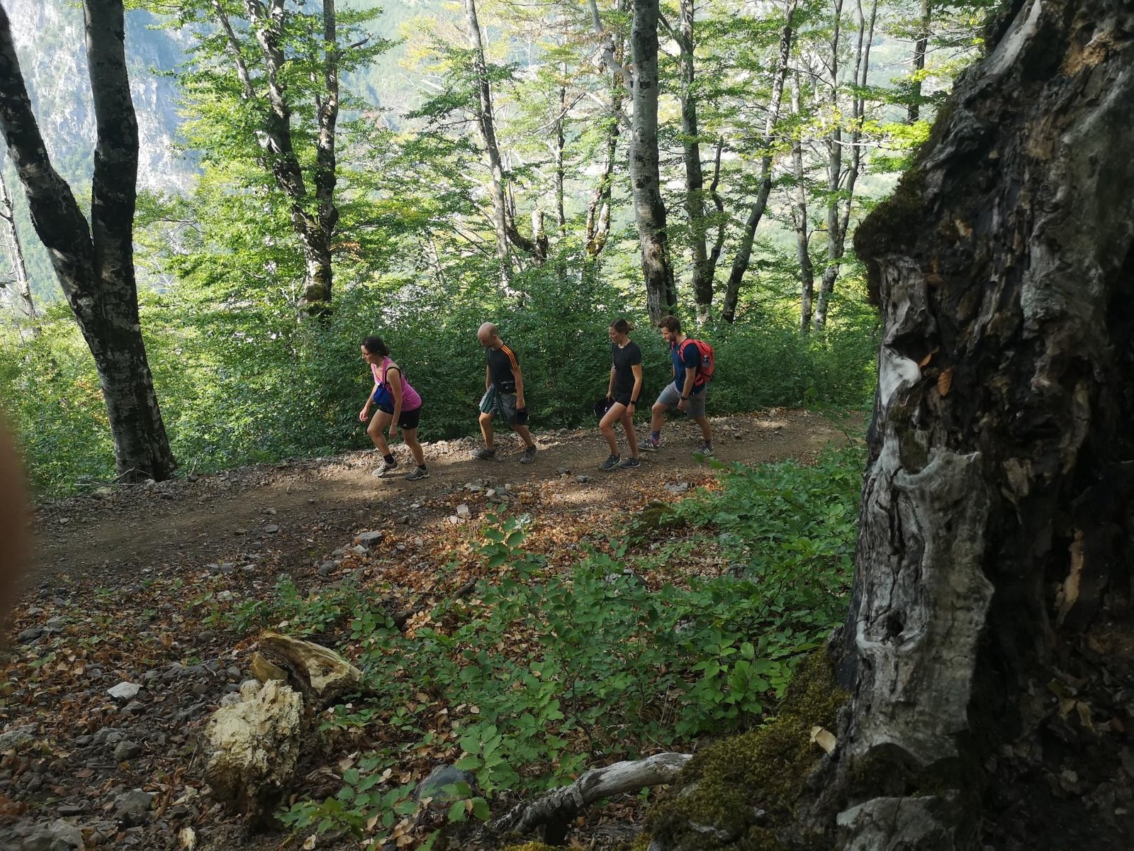
    Theth is the mountain village of the Albanian Alps, ringed by 2,000-metre peaks, with guesthouses and trails in every direction. We walked from the village up the valley to Rragam at the foot of the Valbona pass and back – 15.3 km, 1,060 m of ascent.

    In September 2021, overcast at 17 °C, seven hours from start to finish – carrier hike number 12 and the first outside the Alps we knew.

    Trails are marked but long; food in the guesthouses, water from the springs.

    Gallery

    3D map

    Hut stop

  • Paros Park near Naoussa

    Paros Park near Naoussa

    Distance
    6.4 km
    Ascent
    158 hm
    Duration
    1:58 h
    Season
    Spring
    Weather
    20 °C, sunny
    Stroller
    No
    Carrier
    No
    Hut stop
    No
    Tour
    Day trip

    Walked once

    Date Season Distance Ascent Duration Stroller Weather
    ★ Spring 6.4 km 158 hm 1:58 h No 20 °C, sunny

    Paros Park is the Ai Giannis Detis peninsula north of Naoussa, a nature park with marked trails to the lighthouse, granite rocks and small coves. The loop: 6.4 km, 158 m of ascent, hardly any shade.

    In May 2021, sunny at 20 °C, two hours from start to finish with the baby in the sling – the third and last Paros walk.

    For the late afternoon with a swim in one of the coves at the end.

    Gallery

    3D map

  • Antiparos, route 3

    Antiparos, route 3

    Distance
    5.5 km
    Ascent
    122 hm
    Duration
    1:29 h
    Season
    Spring
    Weather
    24 °C, sunny
    Stroller
    No
    Carrier
    No
    Hut stop
    No
    Tour
    Day trip

    Walked once

    Date Season Distance Ascent Duration Stroller Weather
    ★ Spring 5.5 km 122 hm 1:29 h No 24 °C, sunny

    Antiparos is a short ferry from Paros, and the marked route 3 leads from the village over the island’s hills to the bays in the west and back – 5.5 km, 122 m of ascent, thyme and wind.

    In May 2021, sunny at 24 °C, an hour and a half from start to finish, the baby in the sling.

    More an island stroll than a hike; go early, before the sun is up high.

    Gallery

    3D map

  • Byzantine trail: Lefkes to Prodromos, Paros

    Byzantine trail: Lefkes to Prodromos, Paros

    Distance
    8.8 km
    Ascent
    361 hm
    Duration
    4:34 h
    Season
    Spring
    Weather
    22 °C, overcast
    Stroller
    No
    Carrier
    No
    Hut stop
    No
    Tour
    Day trip

    Walked once

    Date Season Distance Ascent Duration Stroller Weather
    ★ Spring 8.8 km 361 hm 4:34 h No 22 °C, overcast

    Paros has a network of old cobbled paths between its villages, and the best known is the Byzantine trail from Lefkes. We walked it in May 2021 with Chris from paroshikes.com, from Lefkes south through the hills towards Aspro Chorio – nine kilometres, 360 m of ascent, dry-stone walls, chapels, the sea on the horizon.

    Overcast at 22 °C, four and a half hours from start to finish with a baby in the sling – our very first hike with a child, before the first carrier.

    Not a mountain, but a real walk through old Paros; with a guide you learn the paths and the stories that go with them.

    Gallery

    3D map