Region: New Zealand

  • Te Oka – Tumbledown Bay, Banks Peninsula

    Te Oka – Tumbledown Bay, Banks Peninsula

    Distance
    13.5 km
    Ascent
    613 hm
    Duration
    5:34 h
    Season
    Winter
    Weather
    18 °C, sunny
    Stroller
    No
    Carrier
    Yes
    Hut stop
    No
    Tour
    Day trip

    Walked once

    Date Season Distance Ascent Duration Stroller Weather
    ★ Winter 13.5 km 613 hm 5:34 h No 18 °C, sunny

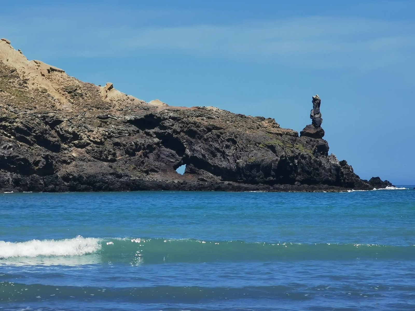
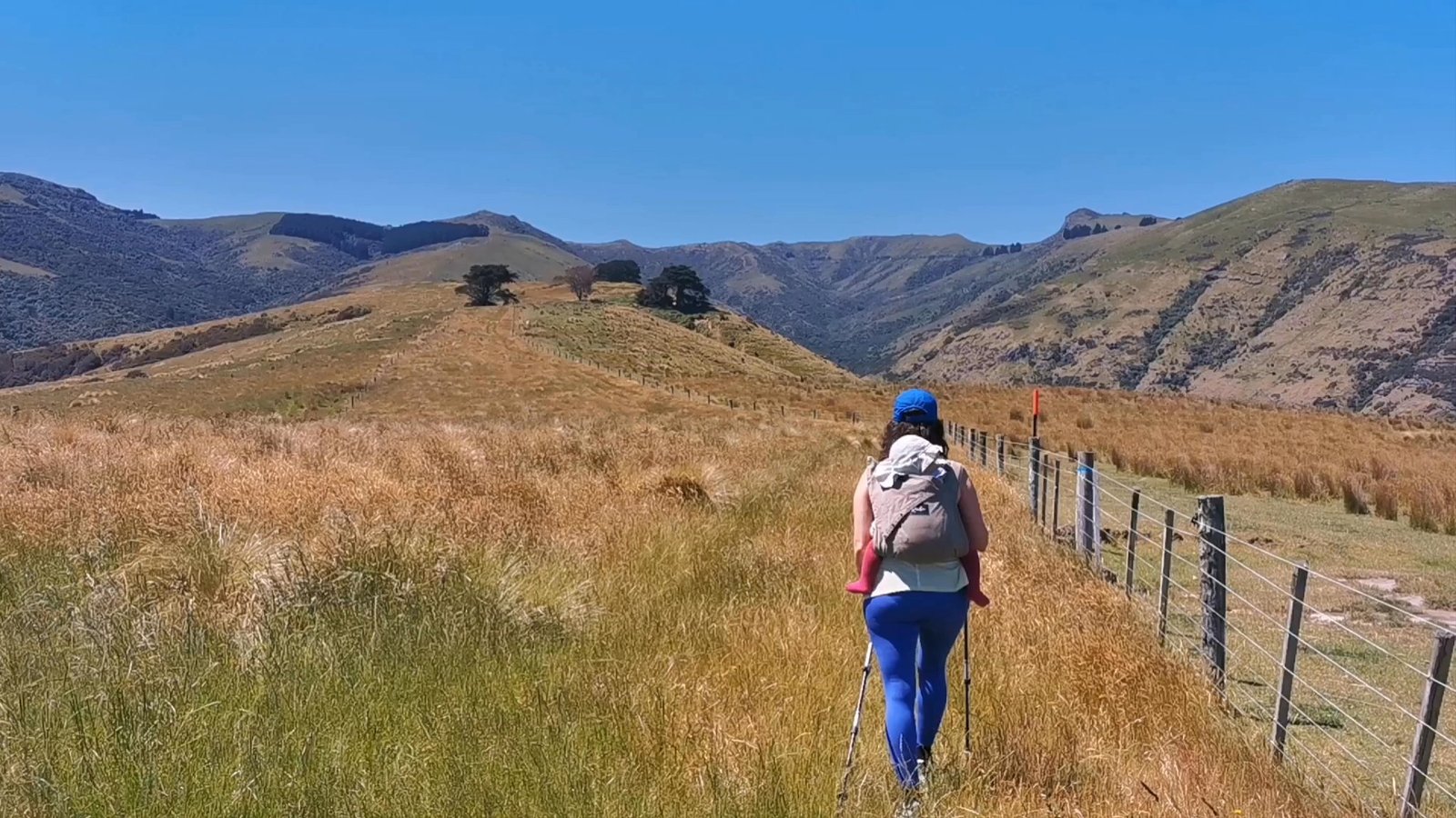
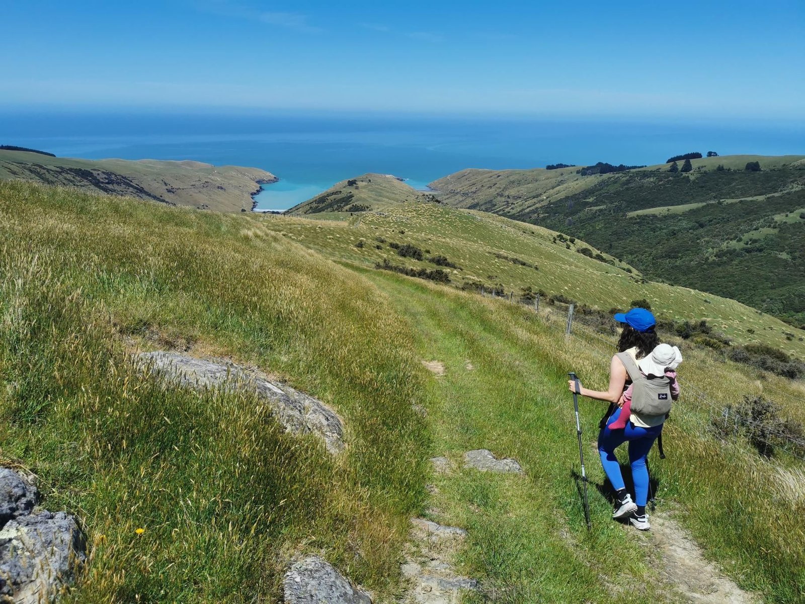
    The Te Oka Track leads from the heights of the Banks Peninsula through farmland and coastal bush down to remote Tumbledown Bay – a beach with nobody on it but seals. The catch: everything you walk down you have to walk back up.

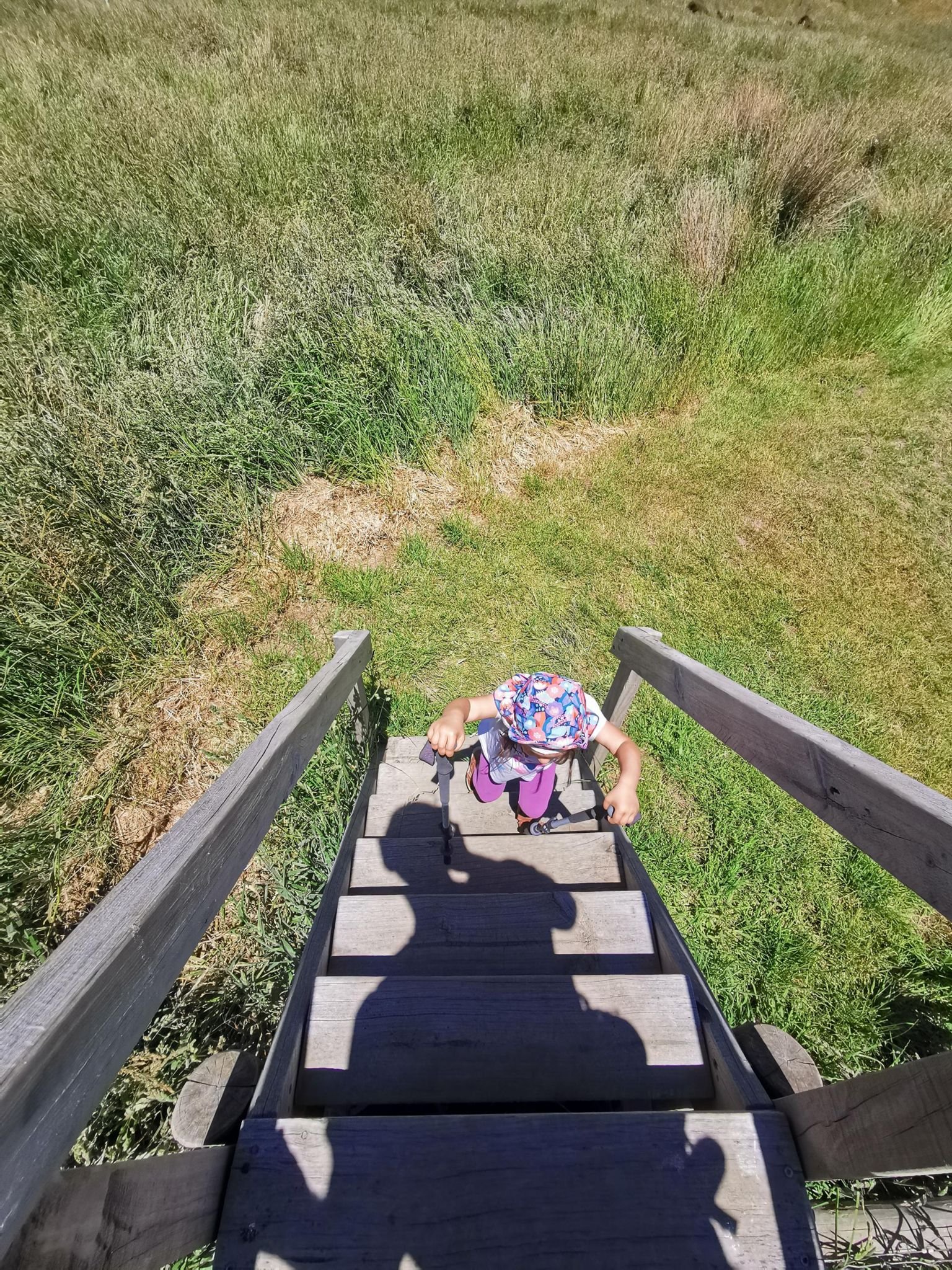
    In December 2023, sunny at 18 °C, that was 13.5 km and 613 m of ascent in five and a half hours, and the kids did not walk a single metre themselves. Tired but happy back at the top.

    A real day’s tour for fit carrier hikers; water and sun protection for the treeless way back.

    Gallery
    3D map

  • Otepatotu Scenic Reserve, Banks Peninsula

    Otepatotu Scenic Reserve, Banks Peninsula

    Distance
    2.0 km
    Ascent
    145 hm
    Duration
    1:08 h
    Season
    Winter
    Weather
    10 °C, overcast
    Stroller
    No
    Carrier
    Yes
    Hut stop
    No
    Tour
    Day trip

    Walked once

    Date Season Distance Ascent Duration Stroller Weather
    ★ Winter 2.0 km 145 hm 1:08 h No 10 °C, overcast

    The Summit Road over the Banks Peninsula is really a scenic drive, but we didn’t want to just drive it: so both kids into the carriers and up into the Otepatotu Scenic Reserve to Lavericks Peak (755 m), a knoll overlooking Akaroa Harbour and the bays.

    Two kilometres and 145 m of ascent in a good hour, overcast at ten degrees – NZ tour number 1, three days after landing.

    Short, steep, jungly: a good test of whether the carriers survived the flight.

    Gallery

    3D map