Region: New Zealand

  • Redwoods and Pohaturoa, Rotorua

    Redwoods and Pohaturoa, Rotorua

    Distance
    13.0 km
    Ascent
    310 hm
    Duration
    4:45 h
    Season
    Winter
    Weather
    19 °C, drizzle
    Stroller
    No
    Carrier
    Yes
    Hut stop
    Yes Trail Kitchen
    Tour
    Day trip

    Walked once

    Date Season Distance Ascent Duration Stroller Weather
    ★ Winter 13.0 km 310 hm 4:45 h No 19 °C, drizzle

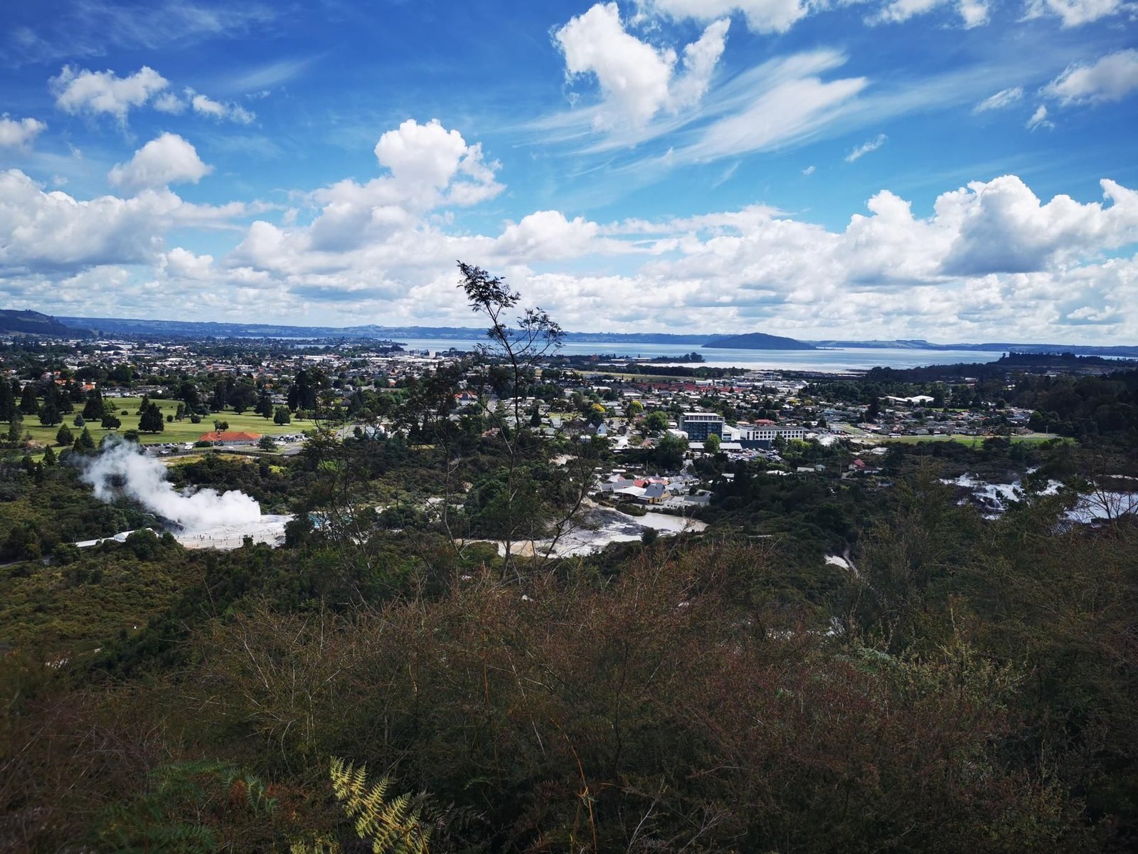
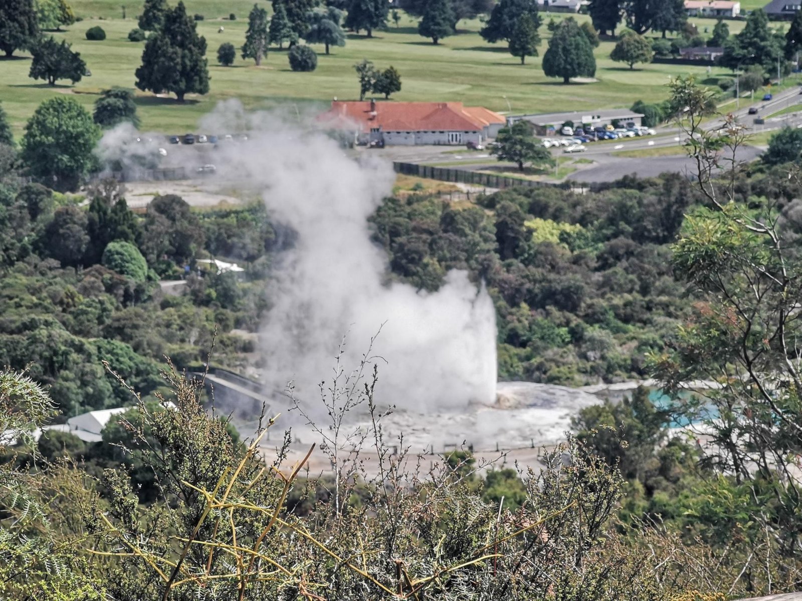
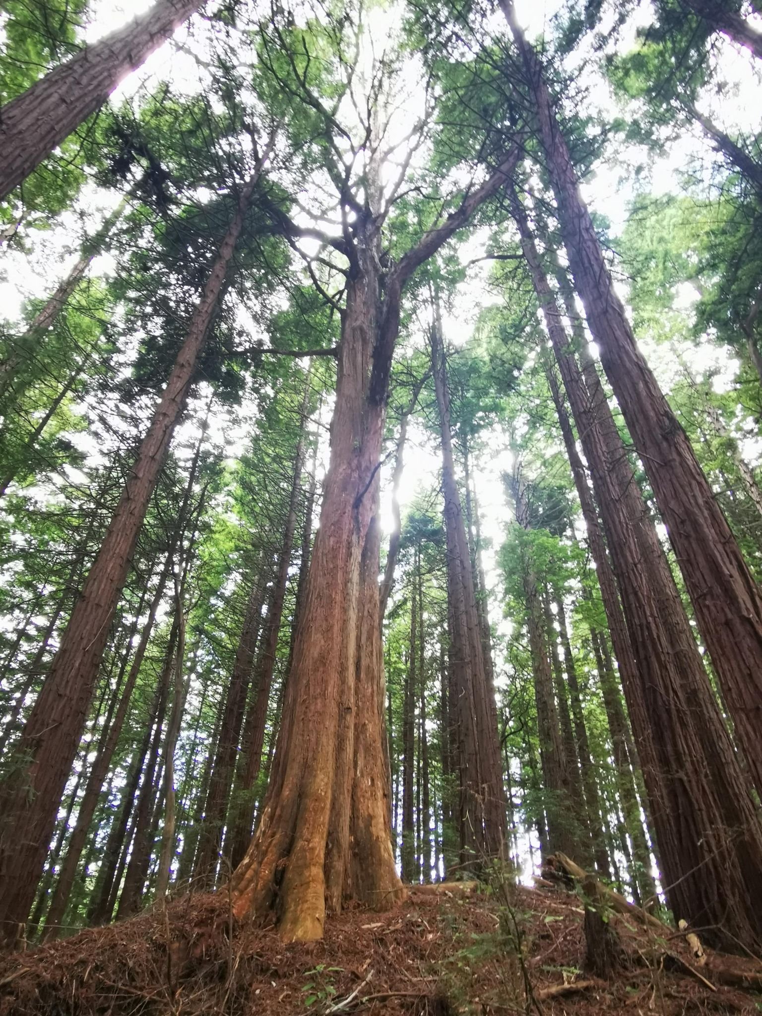
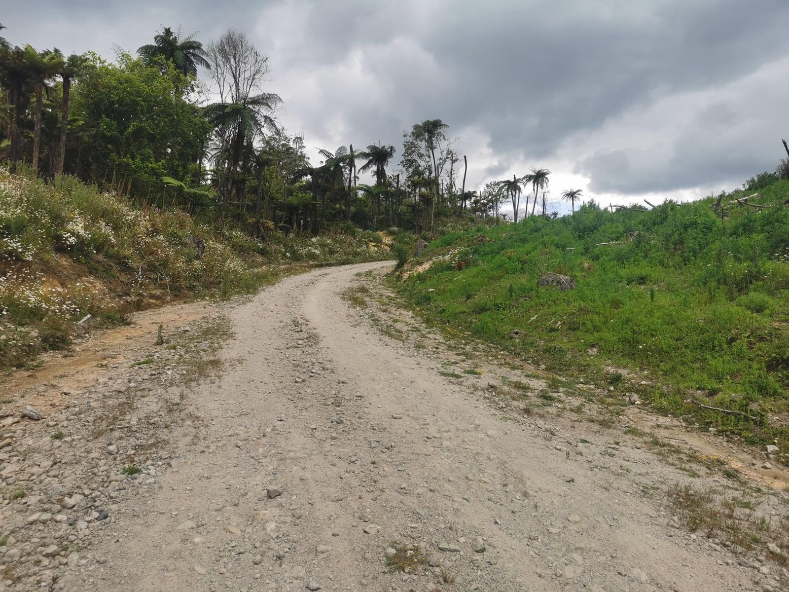
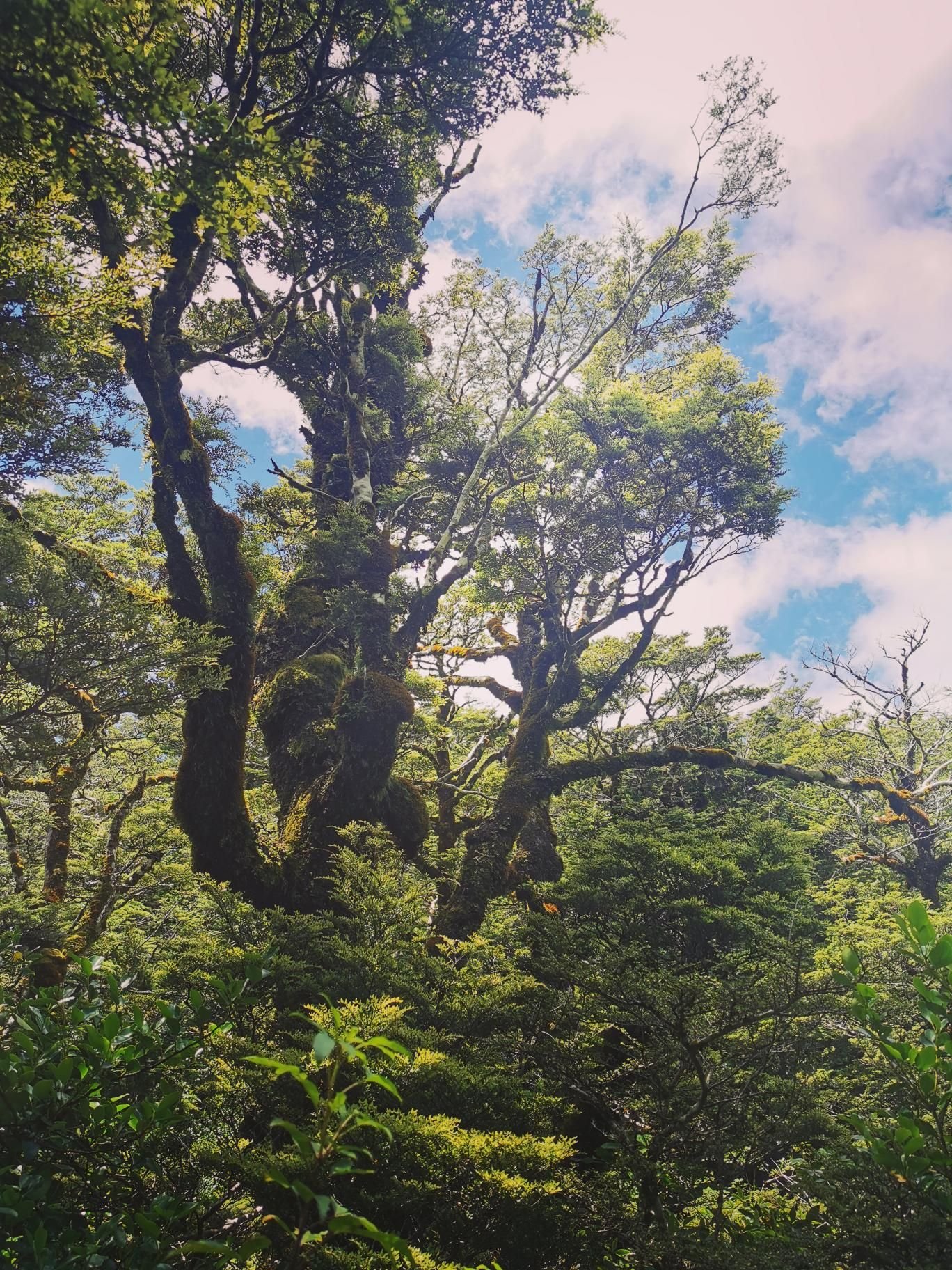
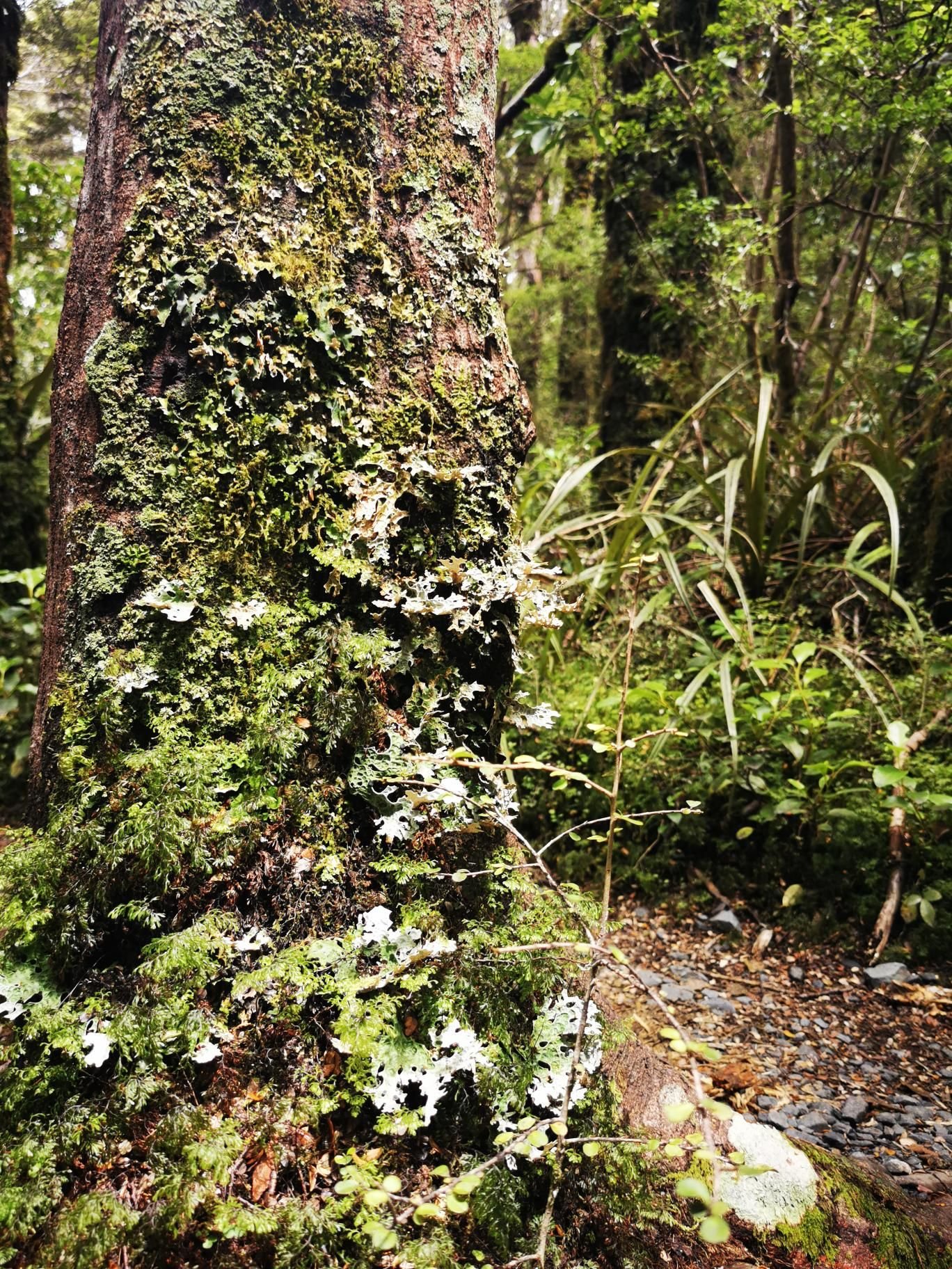
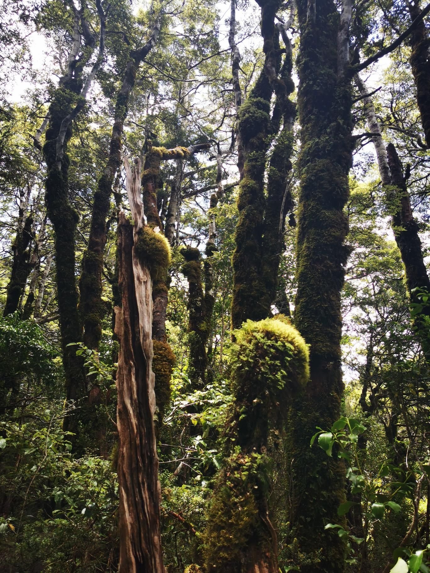
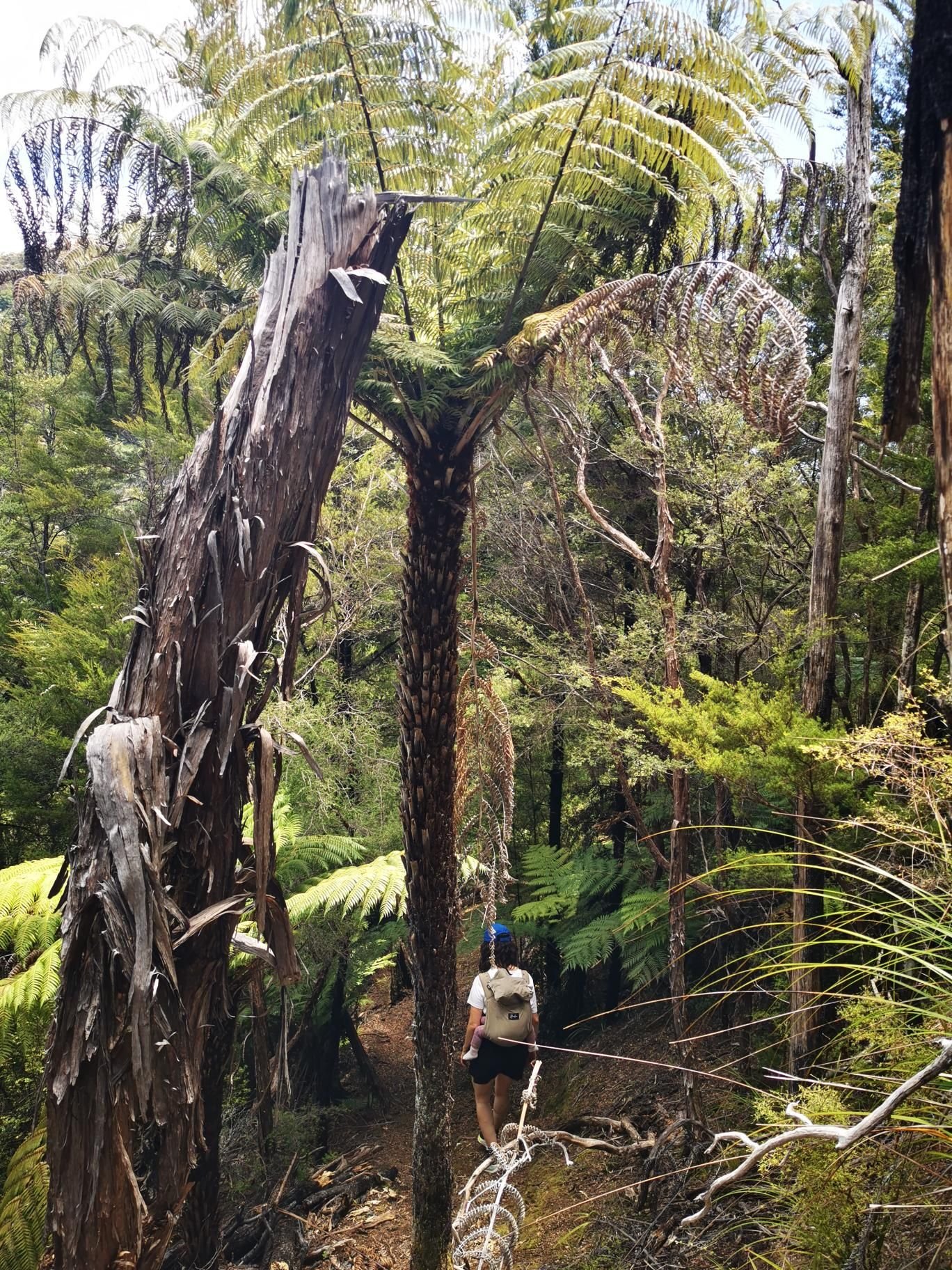
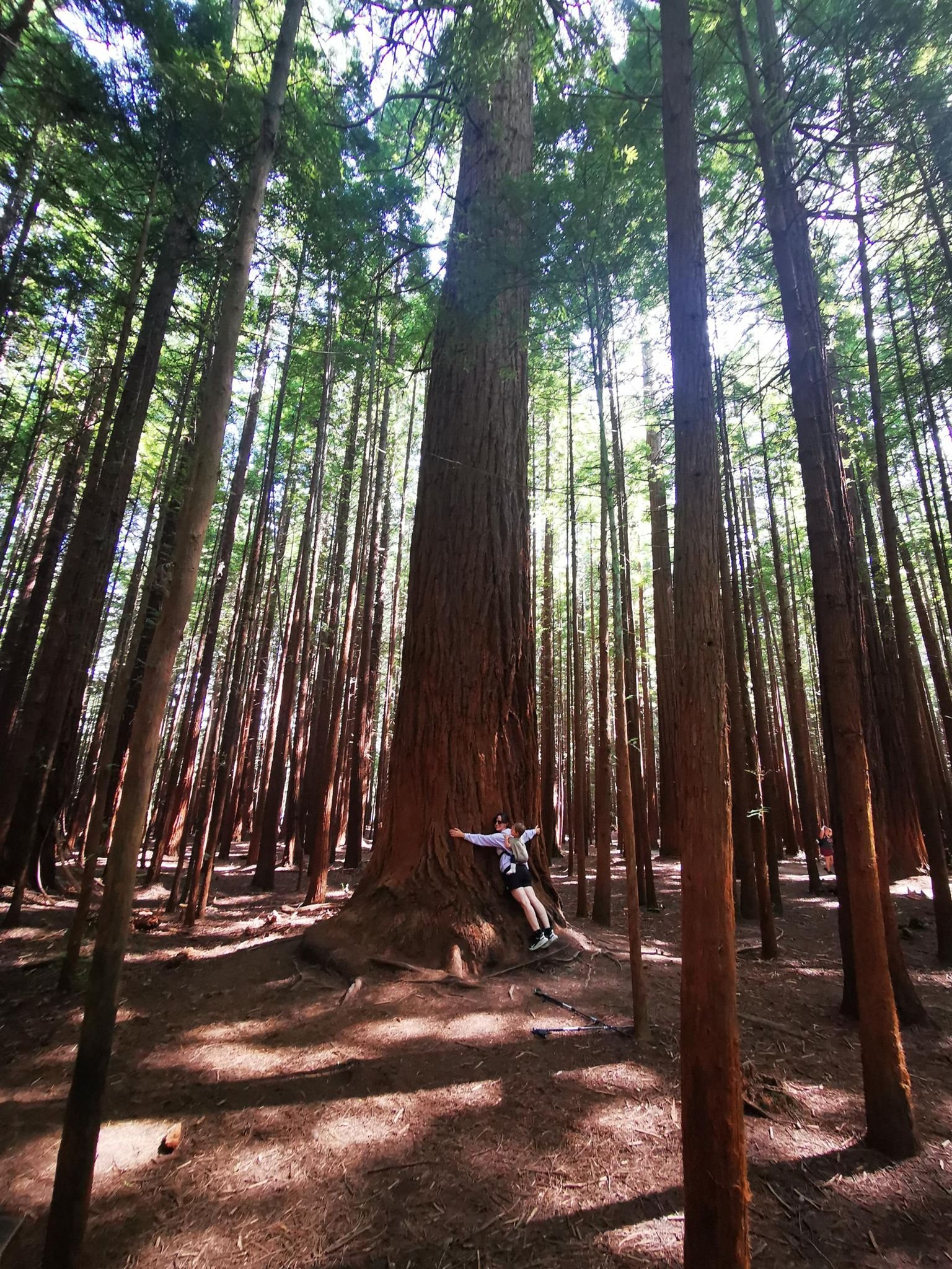
    The Whakarewarewa Forest near Rotorua is a wood of Californian redwoods and New Zealand tree ferns, threaded with trails. We made a big loop of it, with Pohaturoa (428 m) as the lookout and geyser steam at the edge.

    On 4 January 2024, drizzle at 19 °C, that was 13 km and 310 m of ascent in just under five hours – NZ tour number 12 and the end of the trip.

    Flat, wide paths, possible with a pushchair too; the Redwoods are the reason, the rest the encore.

    Gallery
    3D map

    Hut stop

  • Taranaki Falls, Tongariro

    Taranaki Falls, Tongariro

    Distance
    7.4 km
    Ascent
    180 hm
    Duration
    3:05 h
    Season
    Winter
    Weather
    14 °C, partly cloudy
    Stroller
    No
    Carrier
    Yes
    Hut stop
    No
    Tour
    Day trip

    Walked once

    Date Season Distance Ascent Duration Stroller Weather
    ★ Winter 7.4 km 180 hm 3:05 h No 14 °C, partly cloudy

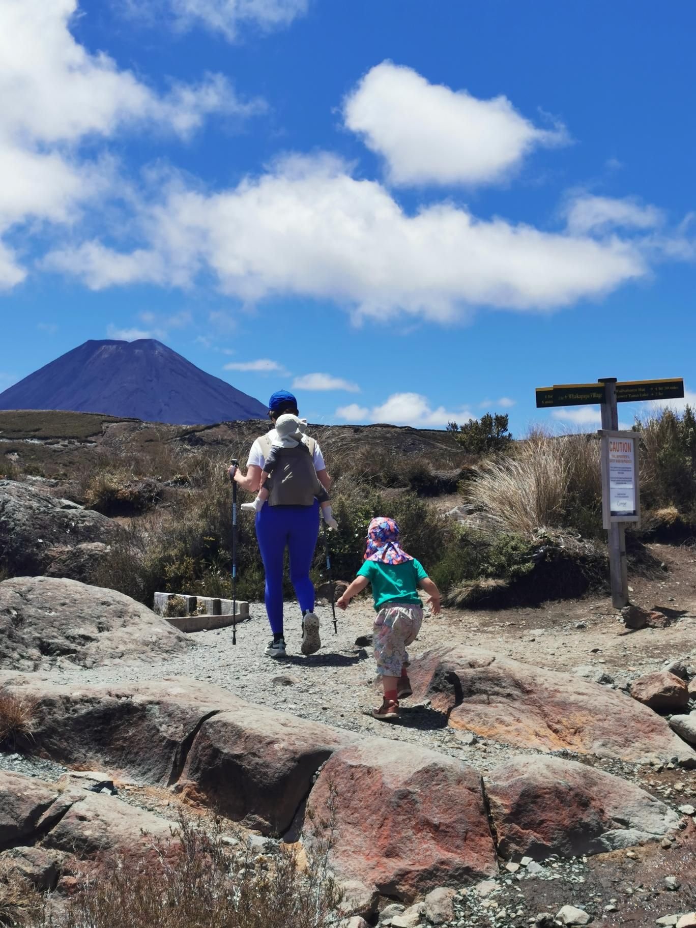
    The Taranaki Falls Track starts in Whakapapa Village and loops through bush and open tussock to the 20-metre falls, with views of Ruapehu and Ngauruhoe.

    On 2 January 2024, partly cloudy at 14 °C, that was 7.4 km and 180 m of ascent in three hours – NZ tour number 11 and the first on the North Island.

    Well-made track, for the carrier and for kids from four on foot; the volcanoes make the scenery.

    Gallery
    3D map

  • Cleopatra’s Pool, Abel Tasman

    Cleopatra’s Pool, Abel Tasman

    Distance
    7.1 km
    Ascent
    262 hm
    Duration
    3:56 h
    Season
    Winter
    Weather
    23 °C, partly cloudy
    Stroller
    No
    Carrier
    Yes
    Hut stop
    No
    Tour
    Day trip

    Walked once

    Date Season Distance Ascent Duration Stroller Weather
    ★ Winter 7.1 km 262 hm 3:56 h No 23 °C, partly cloudy

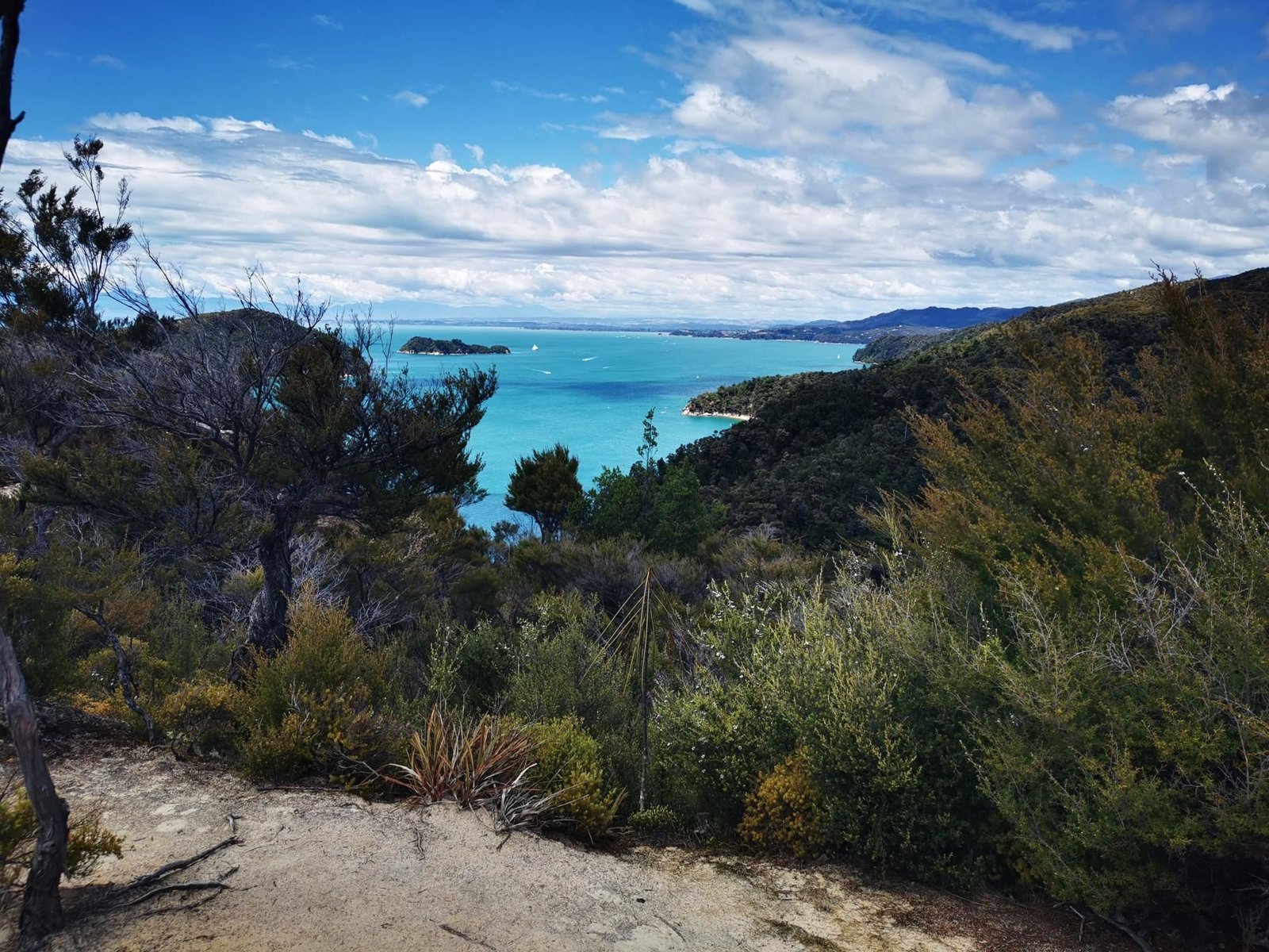
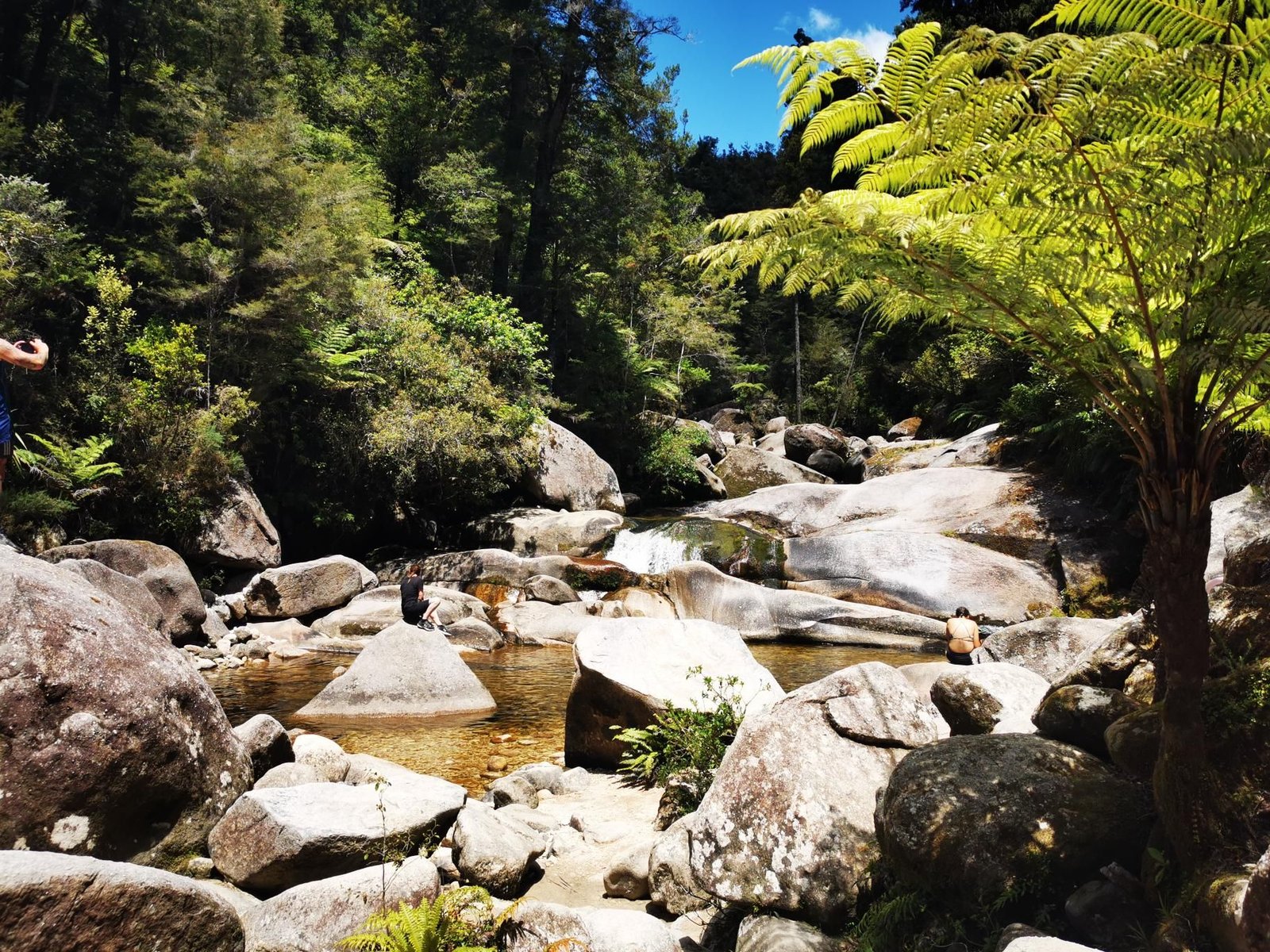
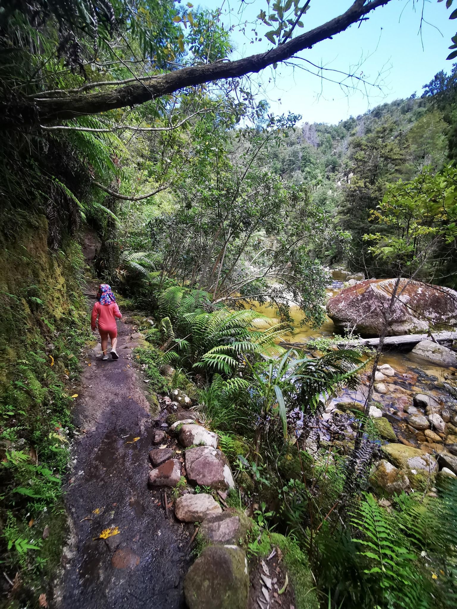
    The Abel Tasman Coast Track is really a multi-day walk, but from Torrent Bay Cleopatra’s Pool is a day’s goal: a river pool in the forest with a natural slide of smooth rock. The path runs through coastal rainforest overlooking the golden beaches.

    On Boxing Day 2023, partly cloudy at 23 °C, that was 7.1 km and 262 m of ascent in just under four hours – with a swim in the pool. NZ tour number 10.

    Water taxi in, walk to the pool, bring swimming things; comfortable with the carrier, walkable for kids from four.

    Gallery
    3D map

  • Kura Tawhiti / Castle Hill

    Kura Tawhiti / Castle Hill

    Distance
    5.3 km
    Ascent
    269 hm
    Duration
    1:32 h
    Season
    Winter
    Weather
    19 °C, overcast
    Stroller
    No
    Carrier
    Yes
    Hut stop
    No
    Tour
    Day trip

    Walked once

    Date Season Distance Ascent Duration Stroller Weather
    ★ Winter 5.3 km 269 hm 1:32 h No 19 °C, overcast

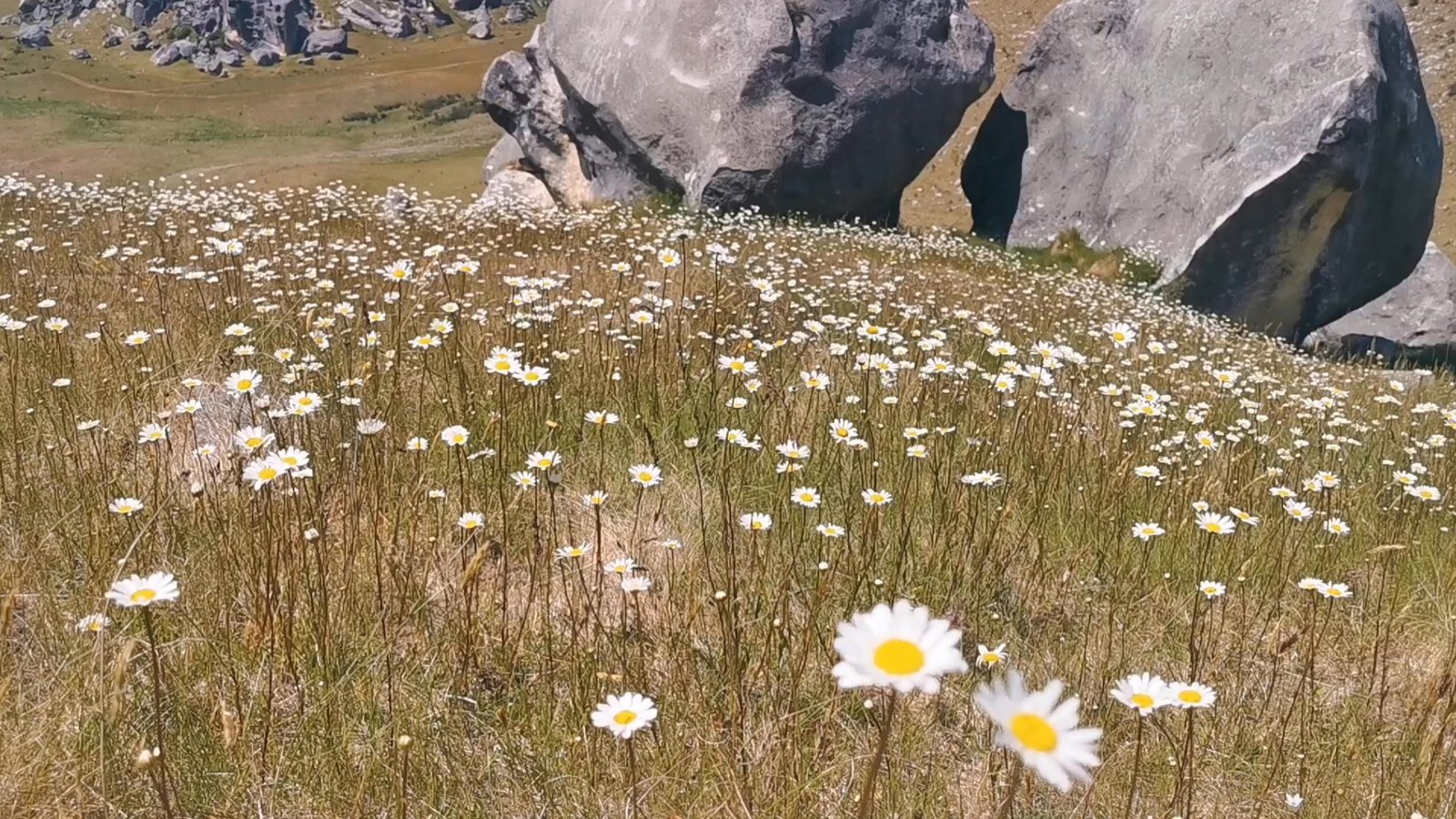
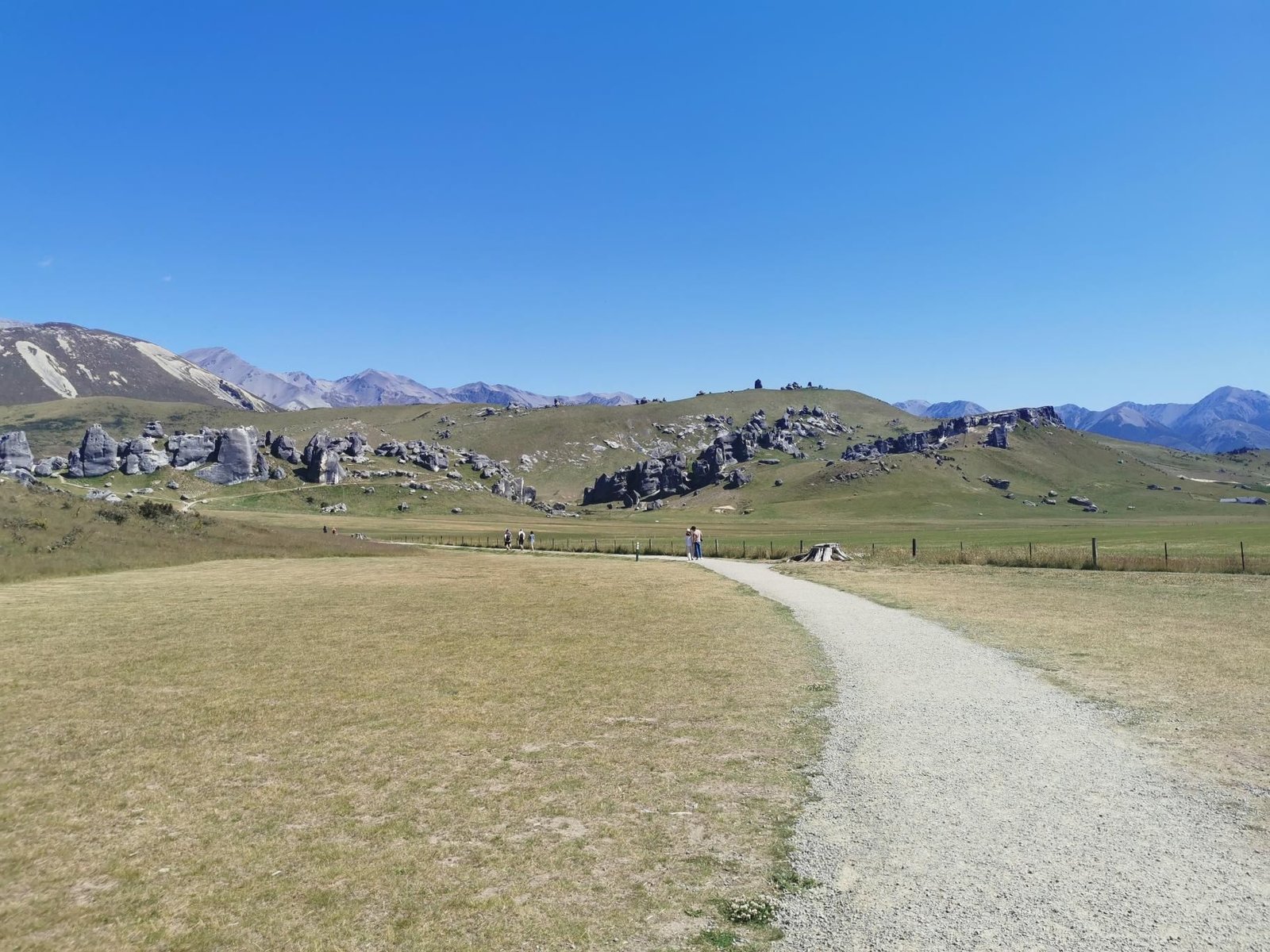
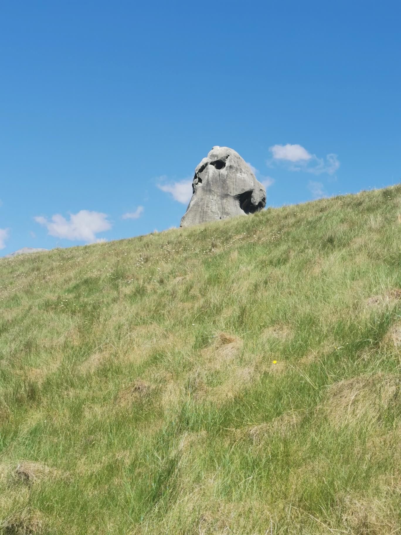
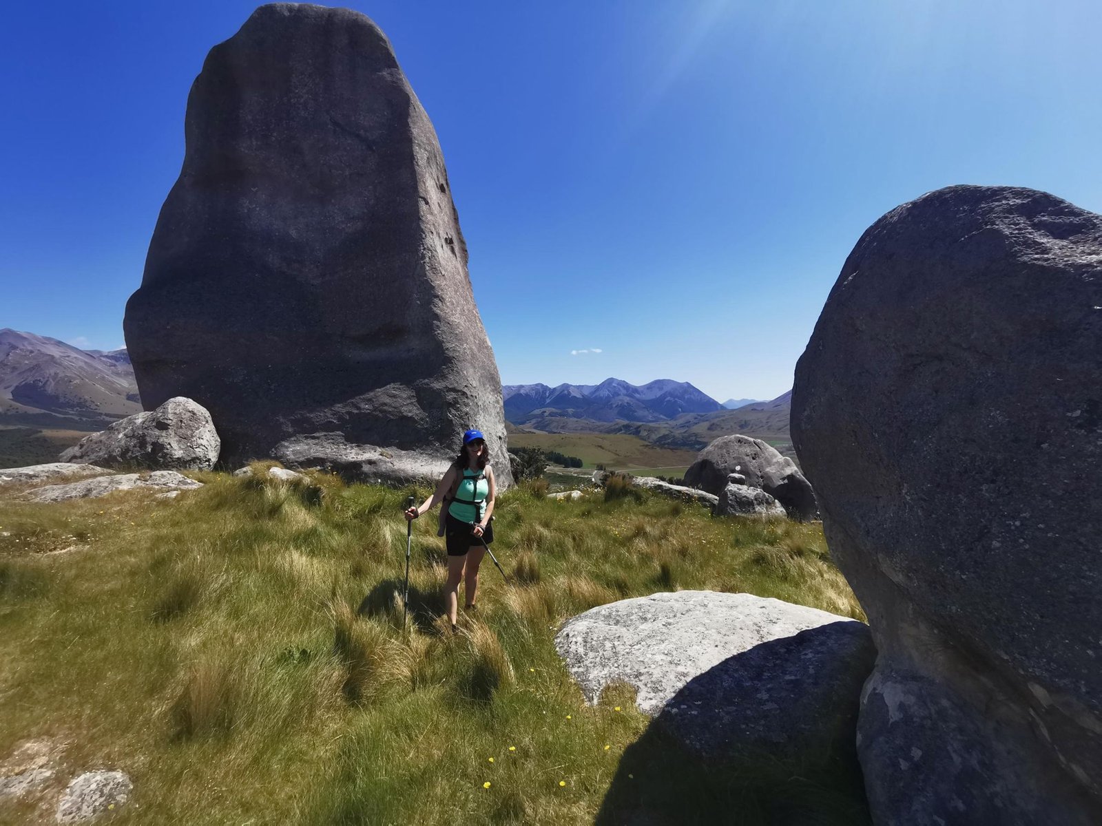
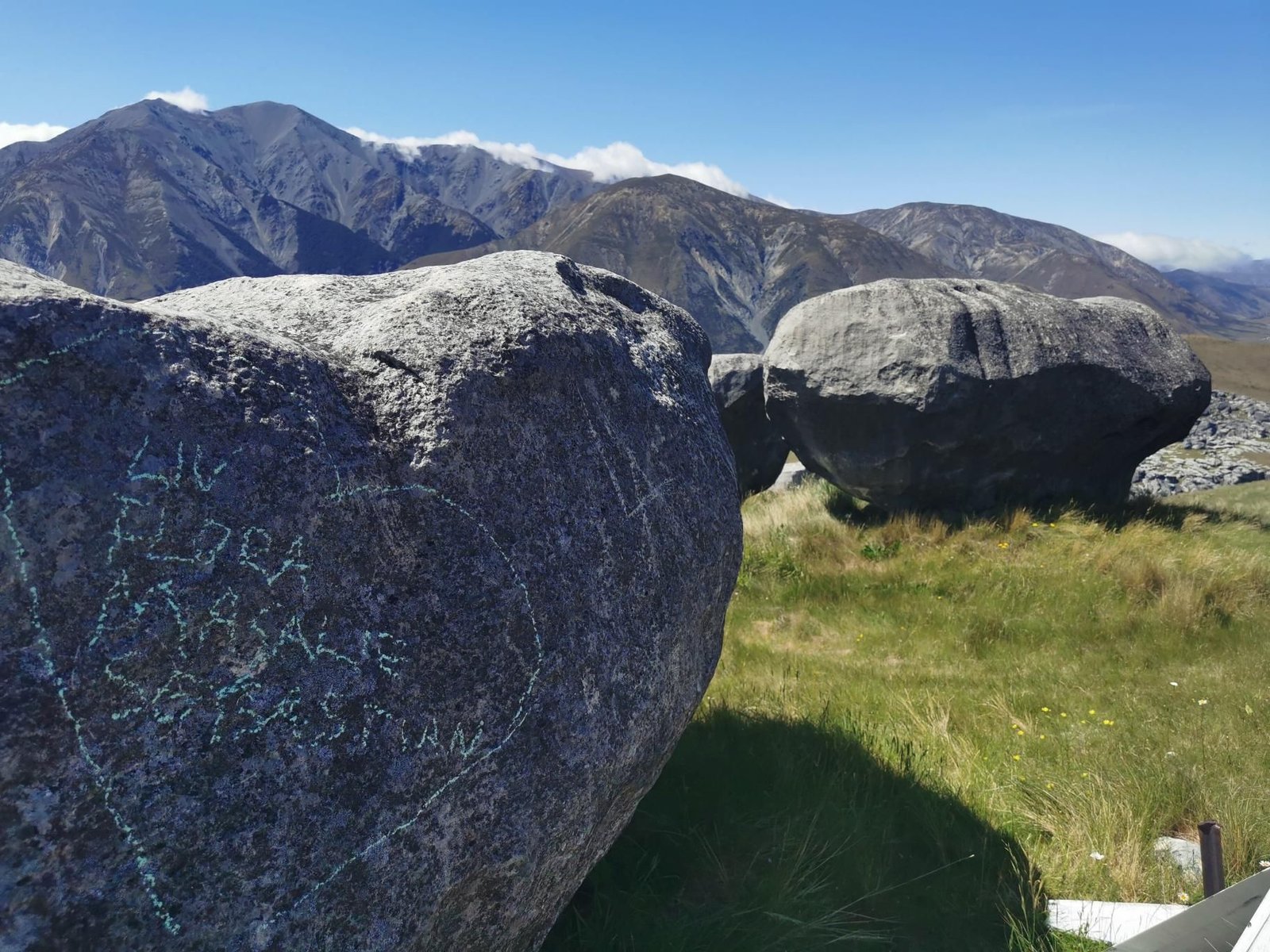
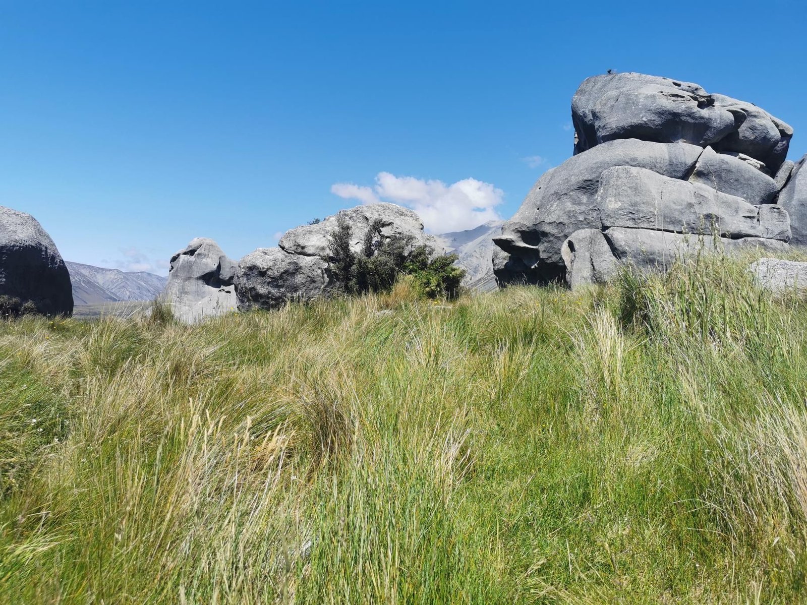
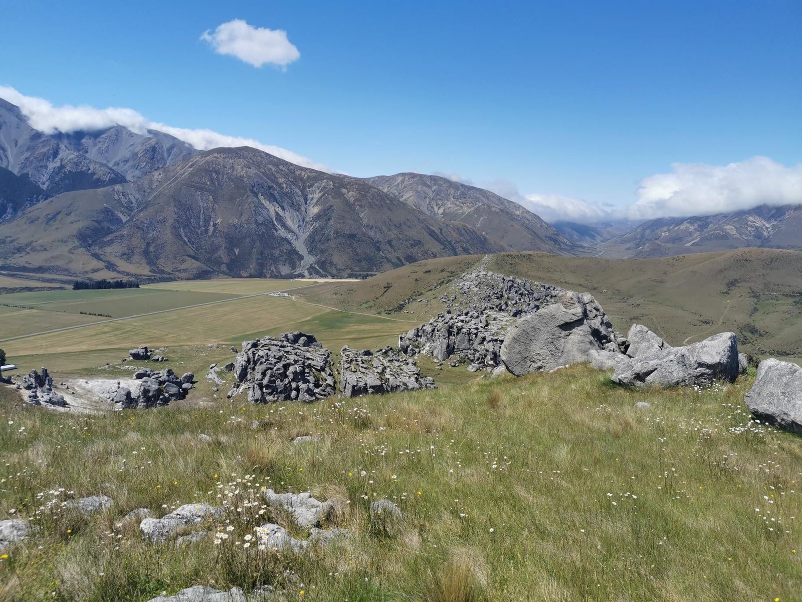
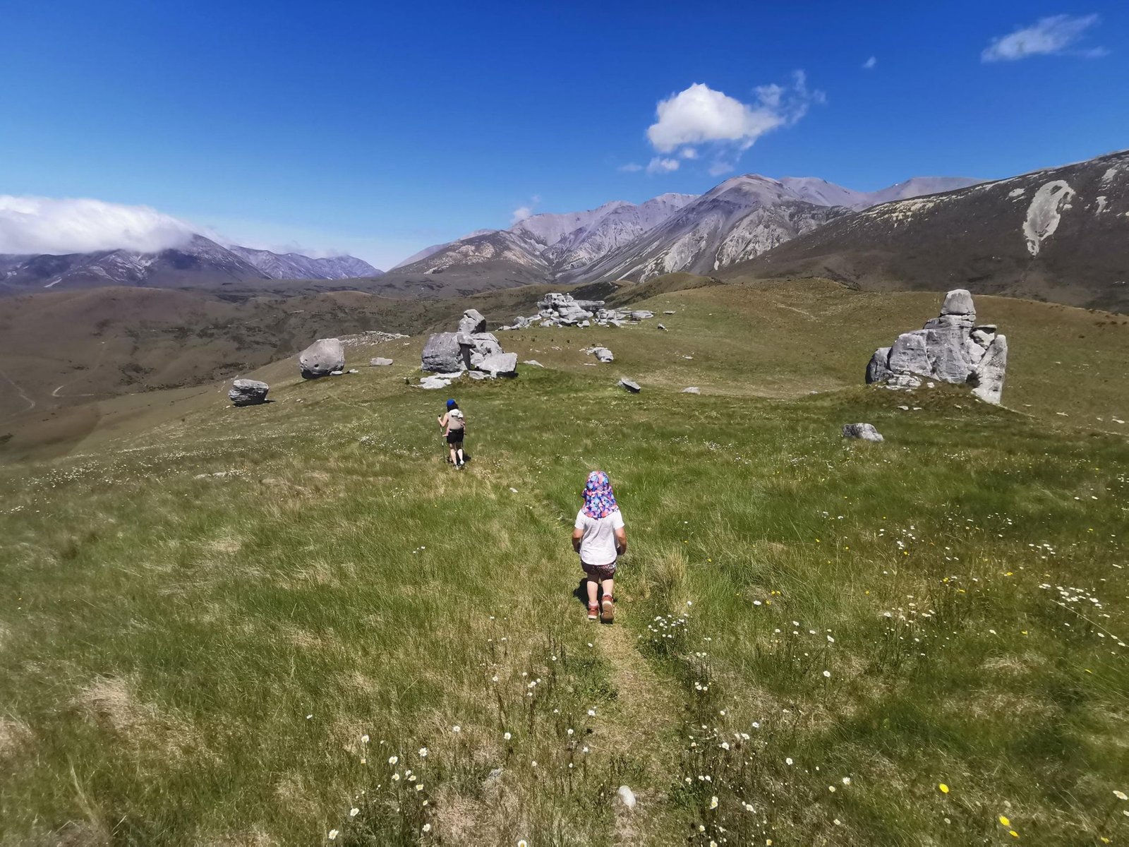
    Kura Tawhiti are the limestone rocks of Castle Hill, a field of giant boulders that kids can climb between for hours. We walked through and up onto Castle Hill (920 m) overlooking the high country.

    In December 2023, overcast at 19 °C, that was 5.3 km and 269 m of ascent in an hour and a half of walking – the climbing time among the rocks not counted. NZ tour number 9.

    The best playground on the South Island; you only need the carrier for the summit climb.

    Gallery
    3D map

  • Castle Hill Cave Stream

    Castle Hill Cave Stream

    Distance
    1.4 km
    Ascent
    51 hm
    Duration
    0:59 h
    Season
    Winter
    Weather
    24 °C, sunny
    Stroller
    No
    Carrier
    Yes
    Hut stop
    No
    Tour
    Day trip

    Walked once

    Date Season Distance Ascent Duration Stroller Weather
    ★ Winter 1.4 km 51 hm 0:59 h No 24 °C, sunny

    The Cave Stream Scenic Reserve lies on the West Coast Road near Castle Hill: a stream that flows 600 metres through a cave, and a short path to both entrances. With small kids we looked at the entrances and left the stream to the others.

    In December 2023, sunny at 24 °C, that was 1.4 km and 51 m of ascent in an hour – more outing than hike, but part of the journey.

    For older kids with a head torch and a change of clothes an adventure; for us this time just the prelude to Castle Hill the next day.

    Gallery
    3D map

  • Sealy Tarns, Aoraki / Mount Cook

    Sealy Tarns, Aoraki / Mount Cook

    Distance
    5.5 km
    Ascent
    565 hm
    Duration
    3:48 h
    Season
    Winter
    Weather
    16 °C, overcast
    Stroller
    No
    Carrier
    Yes
    Hut stop
    No
    Tour
    Day trip

    Walked once

    Date Season Distance Ascent Duration Stroller Weather
    ★ Winter 5.5 km 565 hm 3:48 h No 16 °C, overcast

    The Sealy Tarns Track is a staircase: about 2,000 steps from the Hooker Valley Road up to the small tarns at 1,300 m, from where you see the Hooker Valley and Aoraki / Mount Cook from above.

    In December 2023, overcast at 16 °C, that was 5.5 km and 565 m of ascent in just under four hours – with a child on your back every step is a decision. ‘2000 hellish steps’ says Strava.

    Carrier and legs that like stairs only; at the top Mount Cook reflected in the tarns when the wind is still.

    Gallery
    3D map

  • Hooker Valley Track, Aoraki / Mount Cook

    Hooker Valley Track, Aoraki / Mount Cook

    Distance
    11.3 km
    Ascent
    208 hm
    Duration
    3:54 h
    Season
    Winter
    Weather
    17 °C, partly cloudy
    Stroller
    No
    Carrier
    Yes
    Hut stop
    No
    Tour
    Day trip

    Walked once

    Date Season Distance Ascent Duration Stroller Weather
    ★ Winter 11.3 km 208 hm 3:54 h No 17 °C, partly cloudy

    The Hooker Valley Track is New Zealand’s most famous walk: from White Horse Hill Campground over three swing bridges up the valley to Hooker Lake with its icebergs and Aoraki / Mount Cook behind. 11.3 km there and back, hardly any ascent.

    In December 2023, partly cloudy at 17 °C, we were out for just under four hours – NZ tour number 7. The swing bridges were the programme for the kids.

    Pushchair-friendly to the first bridge, carrier or own legs after that; one of the few walks where a 3,700 m mountain comes without effort.

    Gallery
    3D map

  • Mou Waho, Lake Wānaka

    Mou Waho, Lake Wānaka

    Distance
    3.0 km
    Ascent
    178 hm
    Duration
    1:19 h
    Season
    Winter
    Weather
    21 °C, partly cloudy
    Stroller
    No
    Carrier
    No
    Hut stop
    No
    Tour
    Day trip

    Walked once

    Date Season Distance Ascent Duration Stroller Weather
    ★ Winter 3.0 km 178 hm 1:19 h No 21 °C, partly cloudy

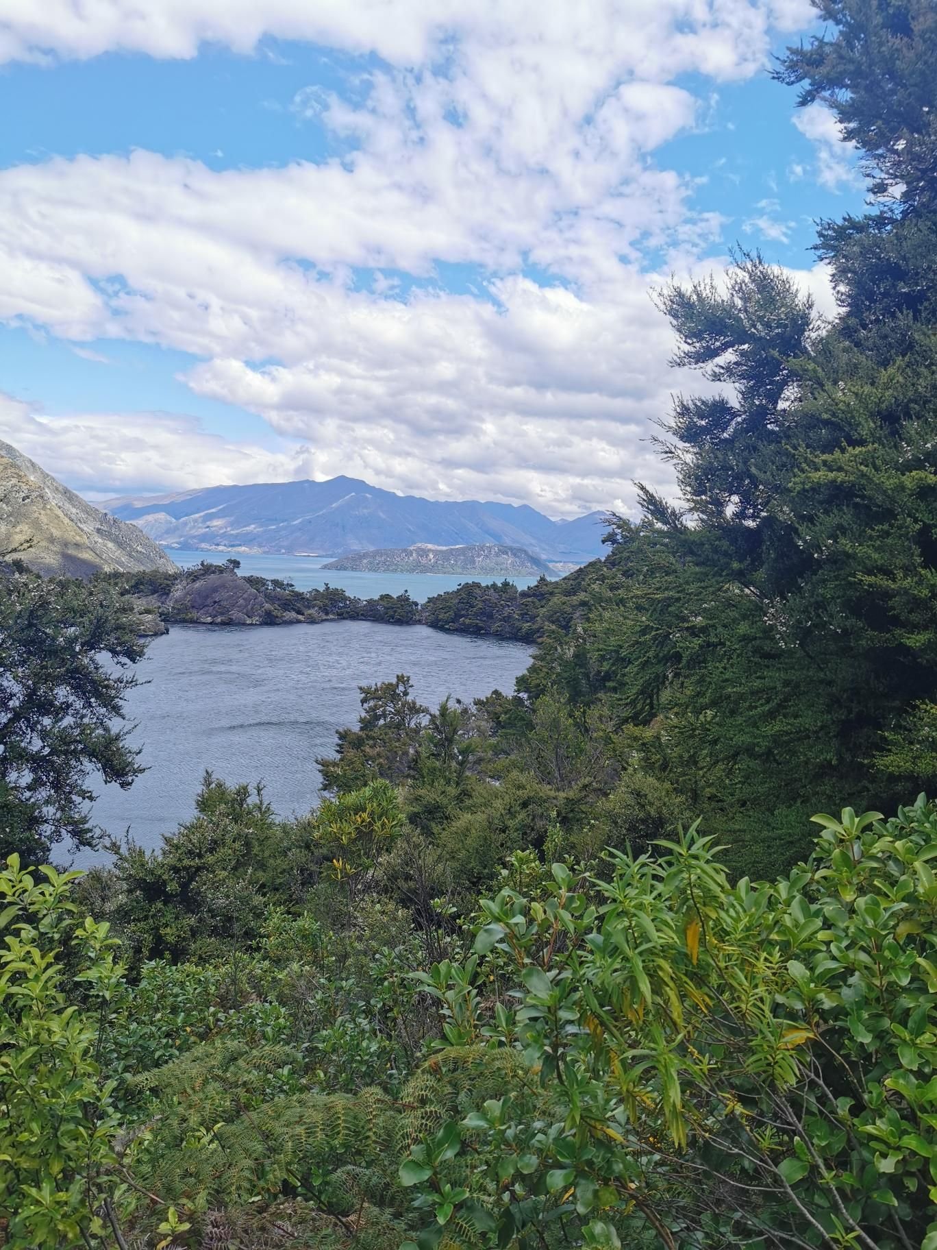
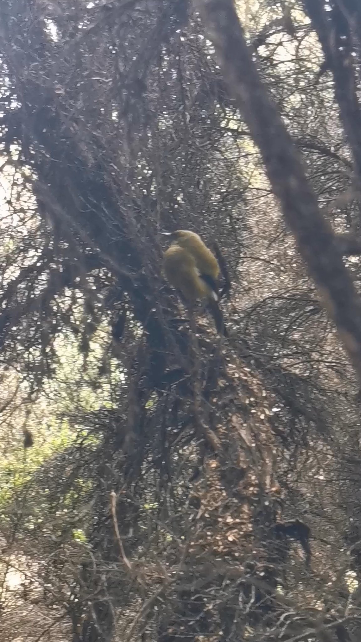
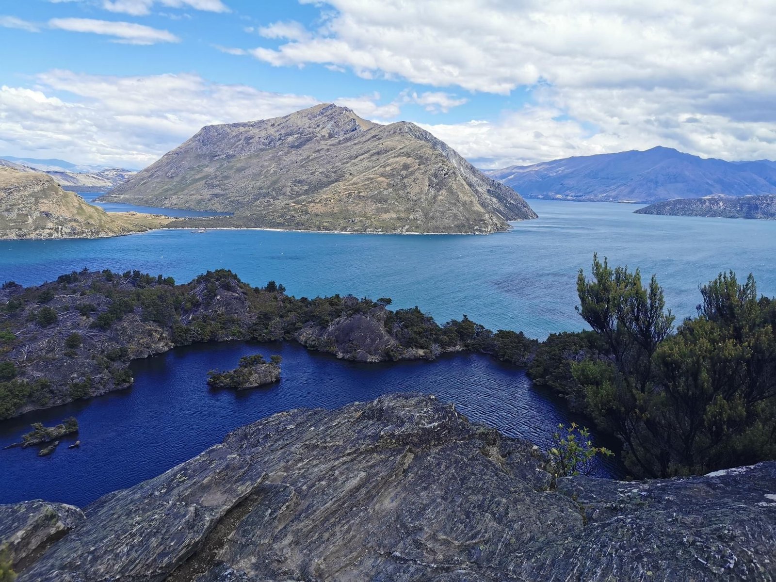
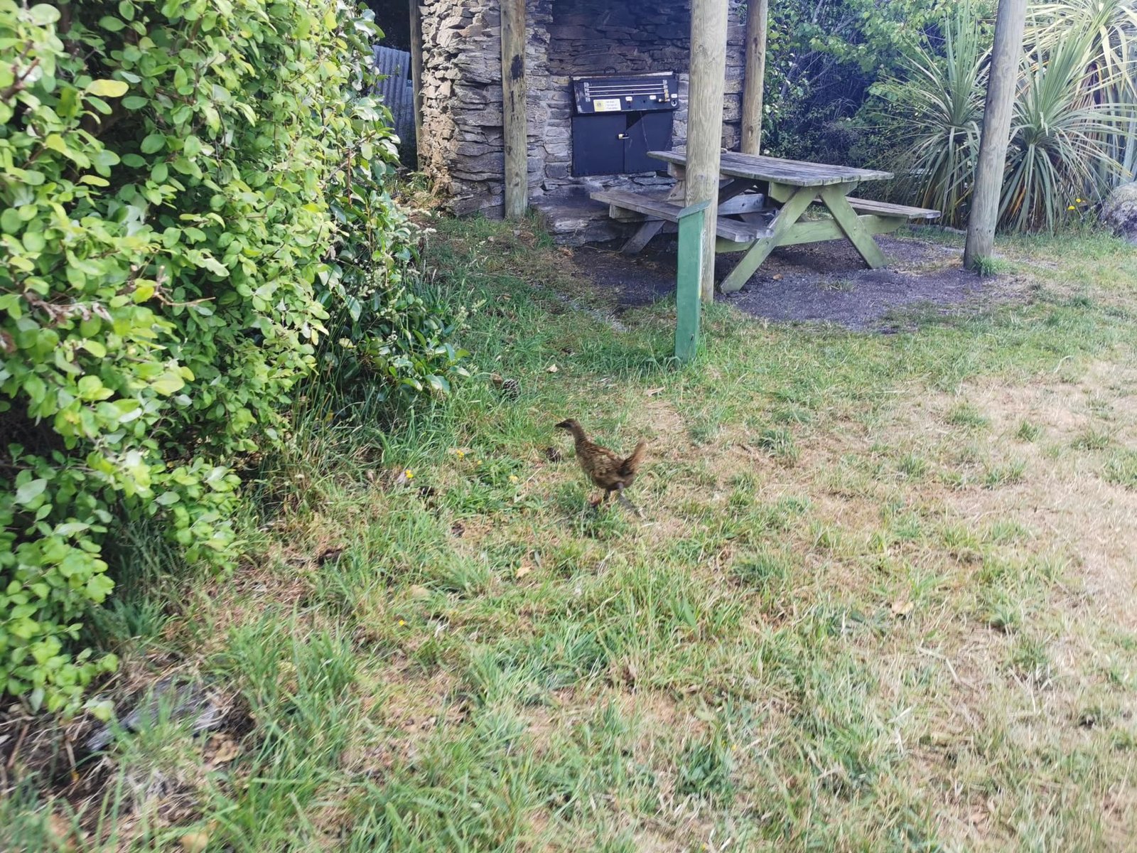
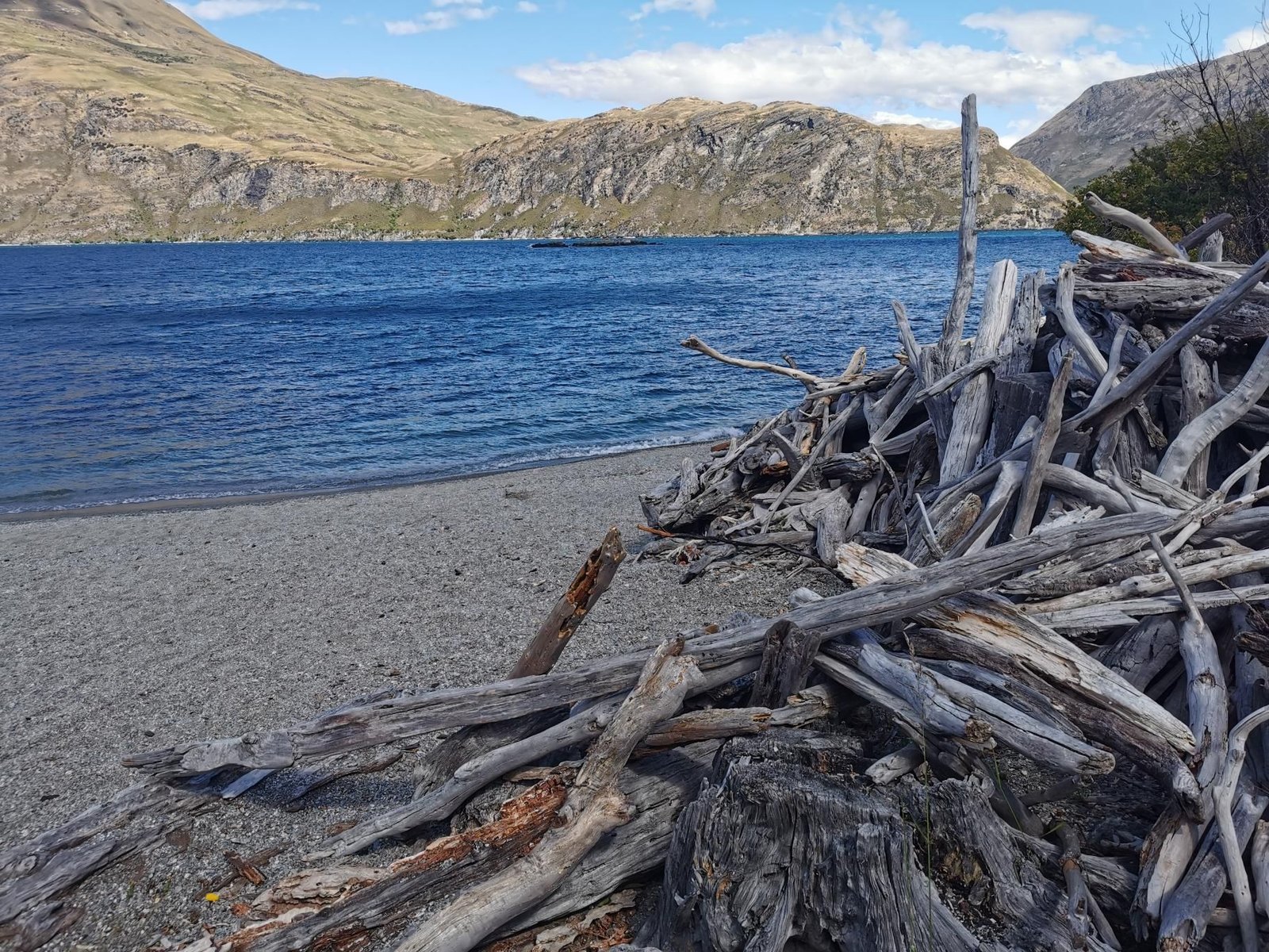
    Mou Waho is an island in Lake Wānaka with a second lake on it – and from Tyrwhitt Peak (473 m) you see both. The path up from the jetty is short, three kilometres and 178 m of ascent, with weka along the way.

    In December 2023, partly cloudy at 21 °C, we were out for a good hour and twenty minutes. The carrier had stayed in the car, so the child was carried in our arms.

    An outing, not a march; the boat transfer is the adventure, the island the playground.

    Gallery

    3D map

  • Diamond Lake and Rocky Peak, Wānaka

    Diamond Lake and Rocky Peak, Wānaka

    Distance
    7.5 km
    Ascent
    454 hm
    Duration
    3:32 h
    Season
    Winter
    Weather
    21 °C, partly cloudy
    Stroller
    No
    Carrier
    Yes
    Hut stop
    No
    Tour
    Day trip

    Walked once

    Date Season Distance Ascent Duration Stroller Weather
    ★ Winter 7.5 km 454 hm 3:32 h No 21 °C, partly cloudy

    Diamond Lake hides behind Rocky Mountain near Wānaka, and the track first circles the small lake and then zigzags up to Rocky Peak (775 m) overlooking Lake Wānaka, with Mount Aspiring on the horizon.

    In December 2023, partly cloudy at 21 °C, that was 7.5 km and 454 m of ascent in three and a half hours – NZ tour number 5.

    Well-built track, many steps, no problem with the carrier; room for a long picnic at the top.

    Gallery

    3D map

  • Lookout over Lake Hāwea

    Lookout over Lake Hāwea

    Distance
    3.4 km
    Ascent
    286 hm
    Duration
    1:30 h
    Season
    Winter
    Weather
    19 °C, partly cloudy
    Stroller
    No
    Carrier
    Yes
    Hut stop
    No
    Tour
    Day trip

    Walked once

    Date Season Distance Ascent Duration Stroller Weather
    ★ Winter 3.4 km 286 hm 1:30 h No 19 °C, partly cloudy

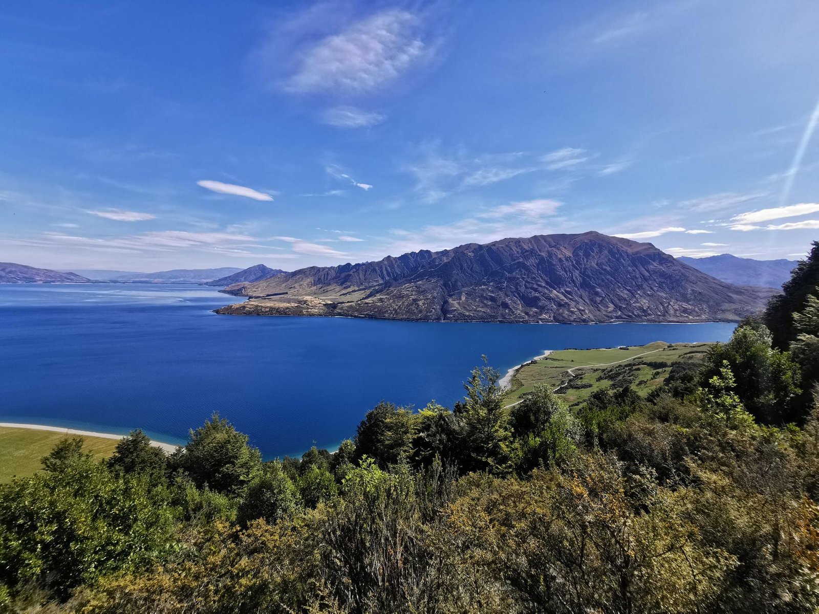
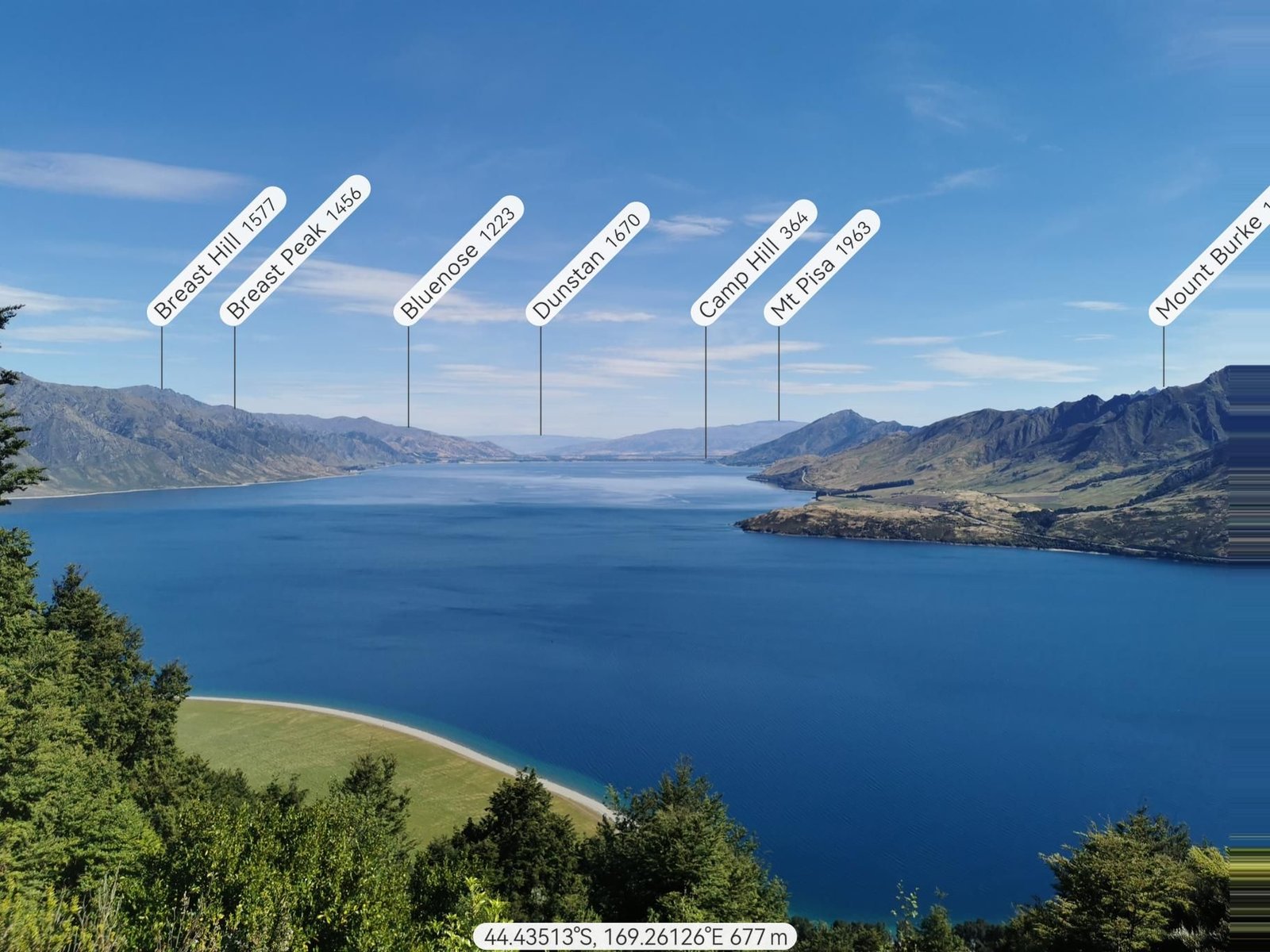
    From Meads Road at Lake Hāwea a path climbs short and steep to a lookout knoll, from where the lake shows all its turquoise with the mountains behind. That is all it takes.

    In December 2023, partly cloudy at 19 °C, that was 3.4 km and 286 m of ascent in an hour and a half – NZ tour number 3.

    An after-work hill for carrier and small legs; the view is the whole tour.

    Gallery

    3D map