Region: Scandinavia

  • Kvittinden, Lofoten

    Kvittinden, Lofoten

    Distance
    8.1 km
    Ascent
    490 hm
    Duration
    3:02 h
    Season
    Summer
    Weather
    18 °C, overcast
    Stroller
    No
    Carrier
    Yes
    Hut stop
    No
    Tour
    Day trip

    Walked once

    Date Season Distance Ascent Duration Stroller Weather
    ★ Summer 8.1 km 490 hm 3:02 h No 18 °C, overcast

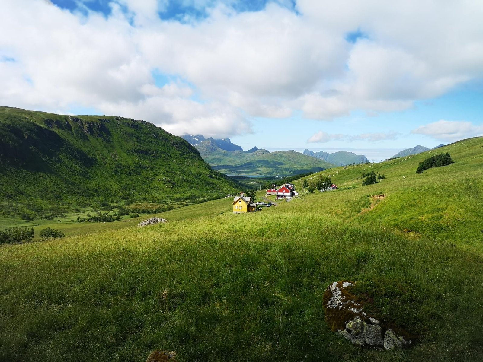
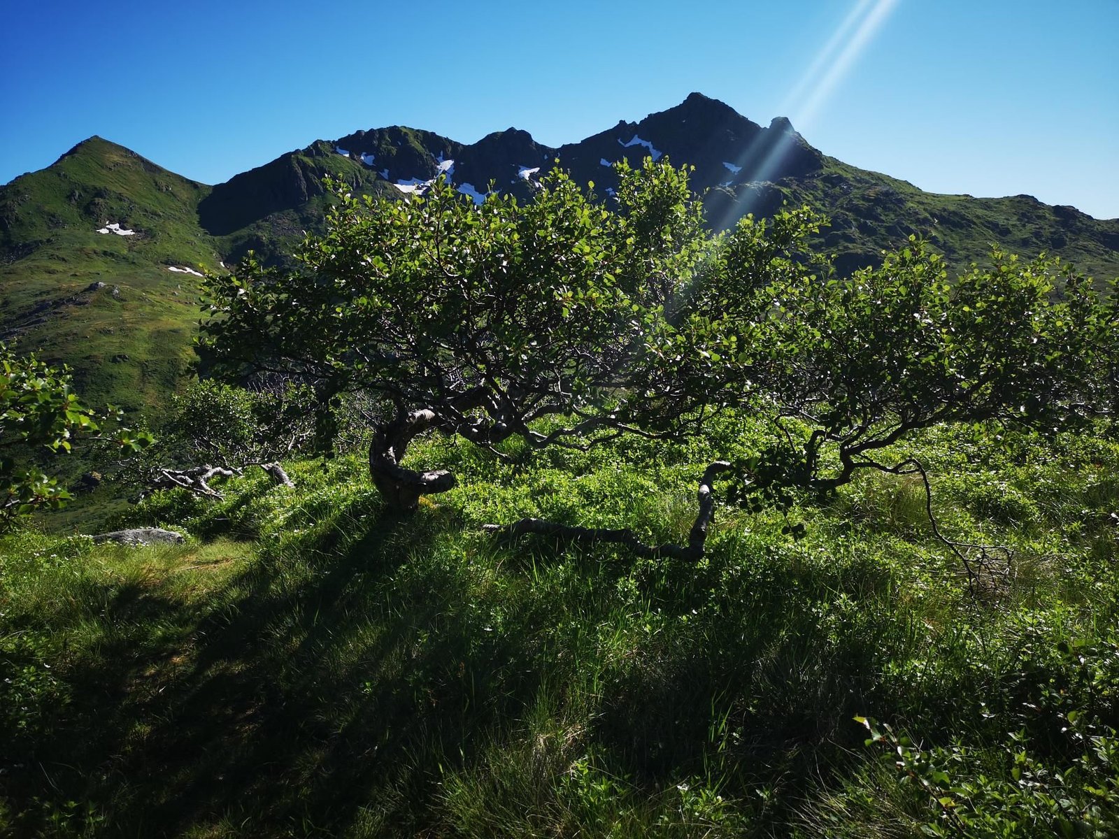
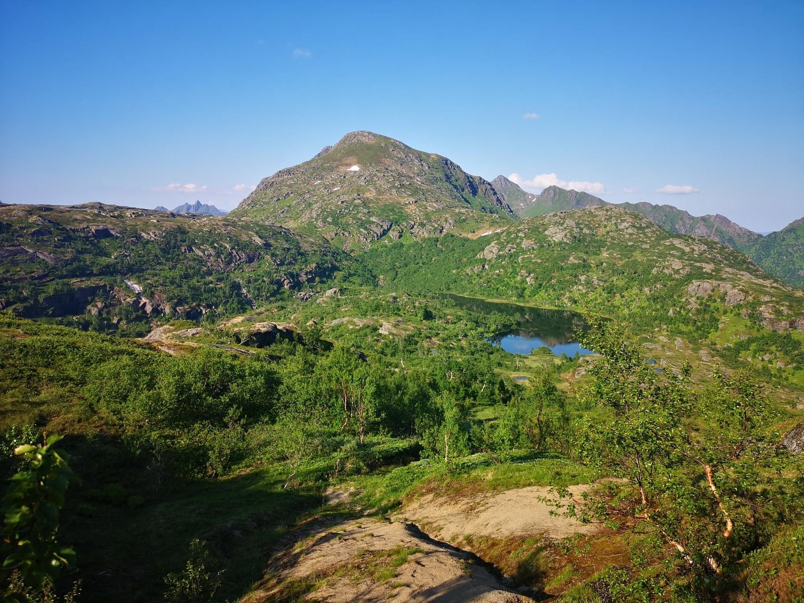
    The Kvittinden stands above the Austnesfjord on Austvågøy, and the path from Austnesfjordveien climbs steeply over the Vestpollmarka to the summit (517 m) with views of the fjord and the Trollfjord peaks.

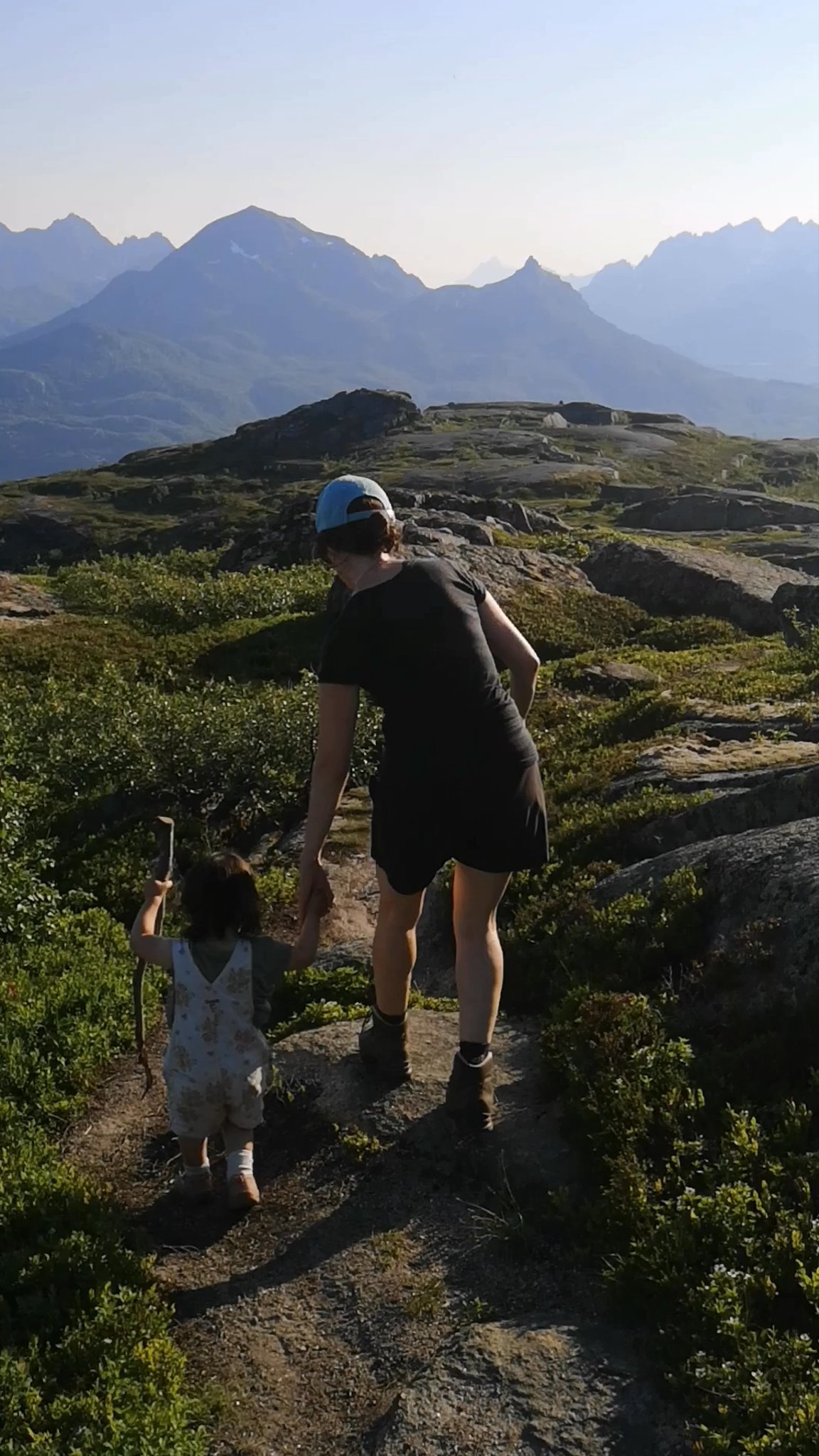
    In July 2022, overcast at 18 °C, that was 8.1 km and 490 m of ascent in three hours – and a ptarmigan that defended its nest with vigour. Carrier hike number 29.

    Steeper than the Keiservarden but equally doable; slippery on the grass slopes when wet.

    Gallery

    3D map

  • Brattfloget, Lofoten

    Brattfloget, Lofoten

    Distance
    8.1 km
    Ascent
    265 hm
    Duration
    4:33 h
    Season
    Summer
    Weather
    15 °C, partly cloudy
    Stroller
    No
    Carrier
    Yes
    Hut stop
    Yes Kvilebua
    Tour
    Day trip

    Walked once

    Date Season Distance Ascent Duration Stroller Weather
    ★ Summer 8.1 km 265 hm 4:33 h No 15 °C, partly cloudy

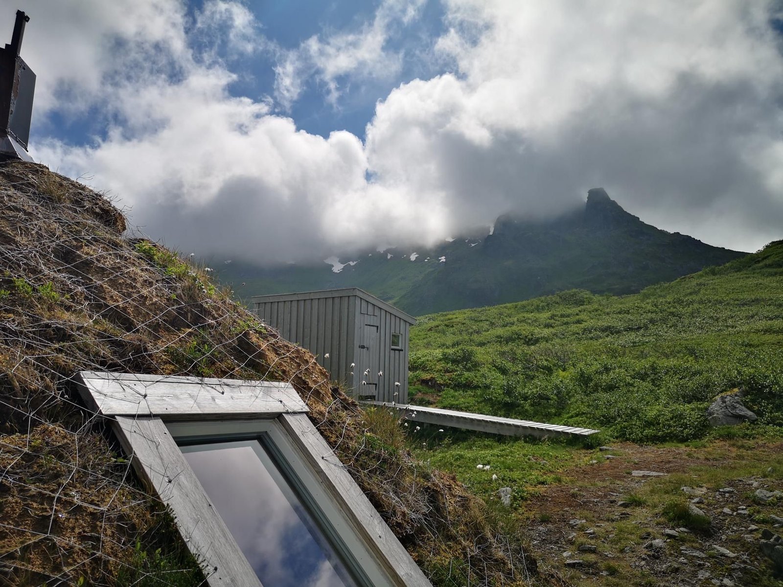
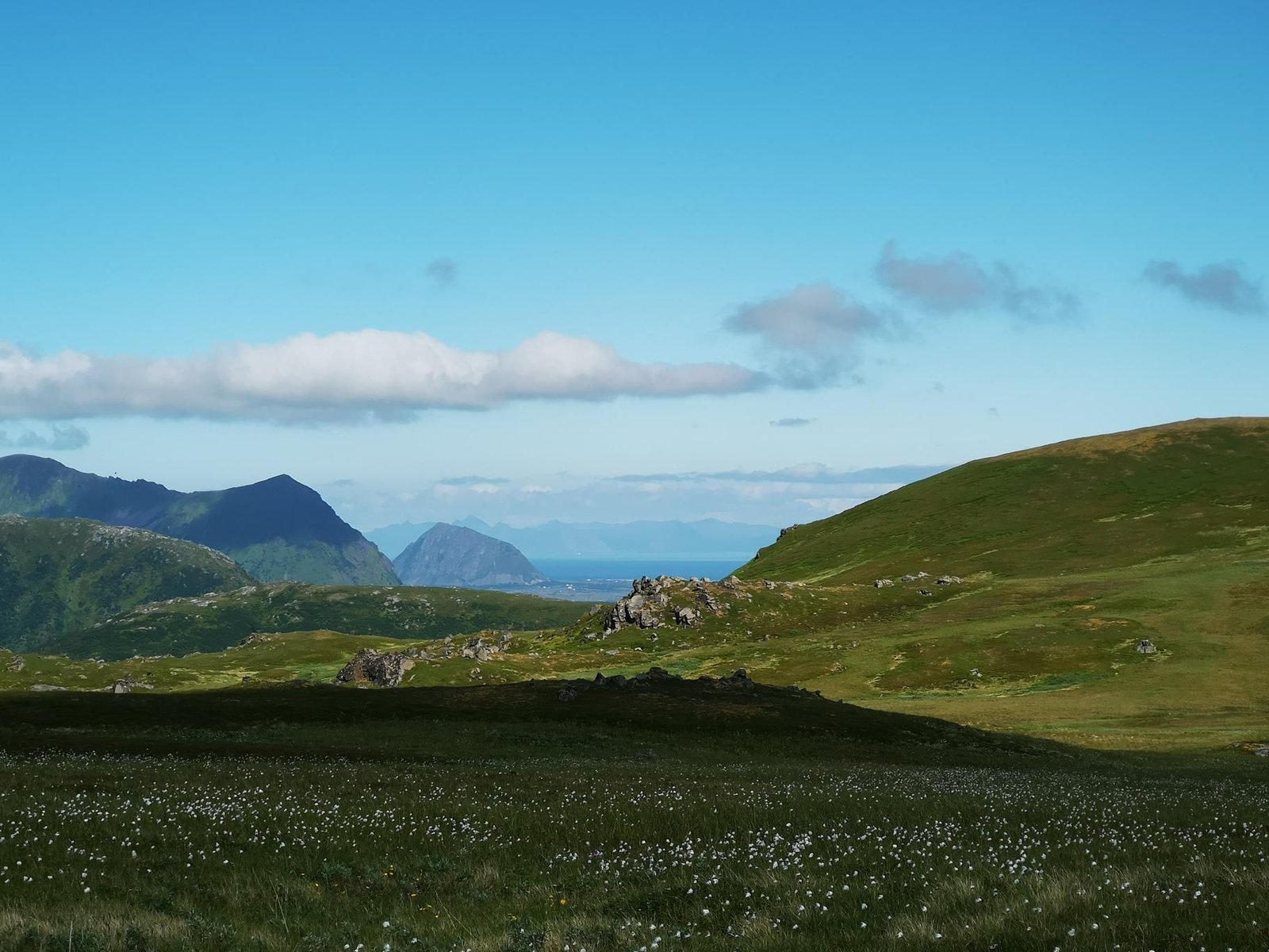
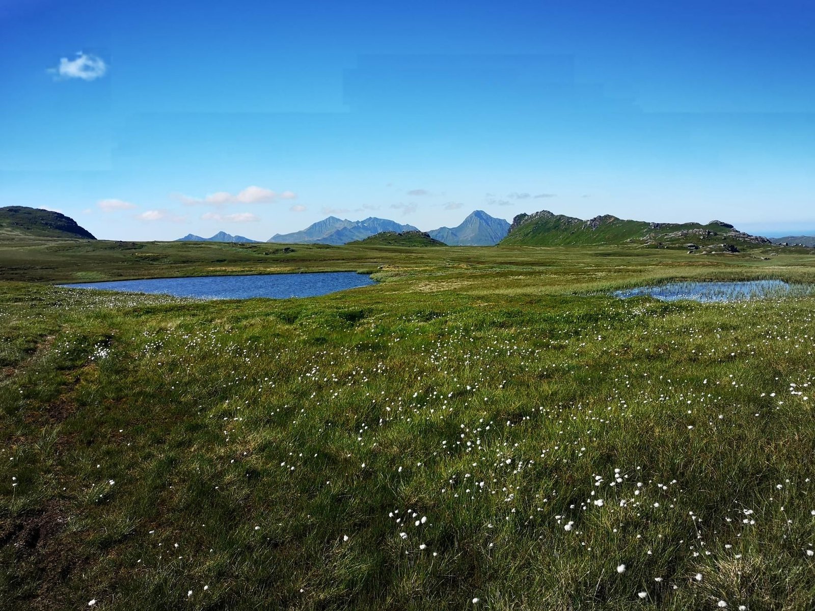
    The Brattfloget is a small summit above Slydalen on Vestvågøy, with the Kvilebua hut on the way. The climb crosses bog and rock slabs – typical Lofoten – to 460 m with fjord views on both sides.

    In July 2022, partly cloudy at 15 °C, that was 8.1 km and 265 m of ascent in four and a half hours, because we watched birds: redshank, bluethroat and golden plover.

    A relaxed Lofoten day for the carrier; sturdy footwear for the wet boggy stretches.

    Gallery

    3D map

    Hut stop

  • Keiservarden, Lofoten

    Keiservarden, Lofoten

    Distance
    7.0 km
    Ascent
    478 hm
    Duration
    3:44 h
    Season
    Summer
    Weather
    24 °C, sunny
    Stroller
    No
    Carrier
    Yes
    Hut stop
    No
    Tour
    Day trip

    Walked once

    Date Season Distance Ascent Duration Stroller Weather
    ★ Summer 7.0 km 478 hm 3:44 h No 24 °C, sunny

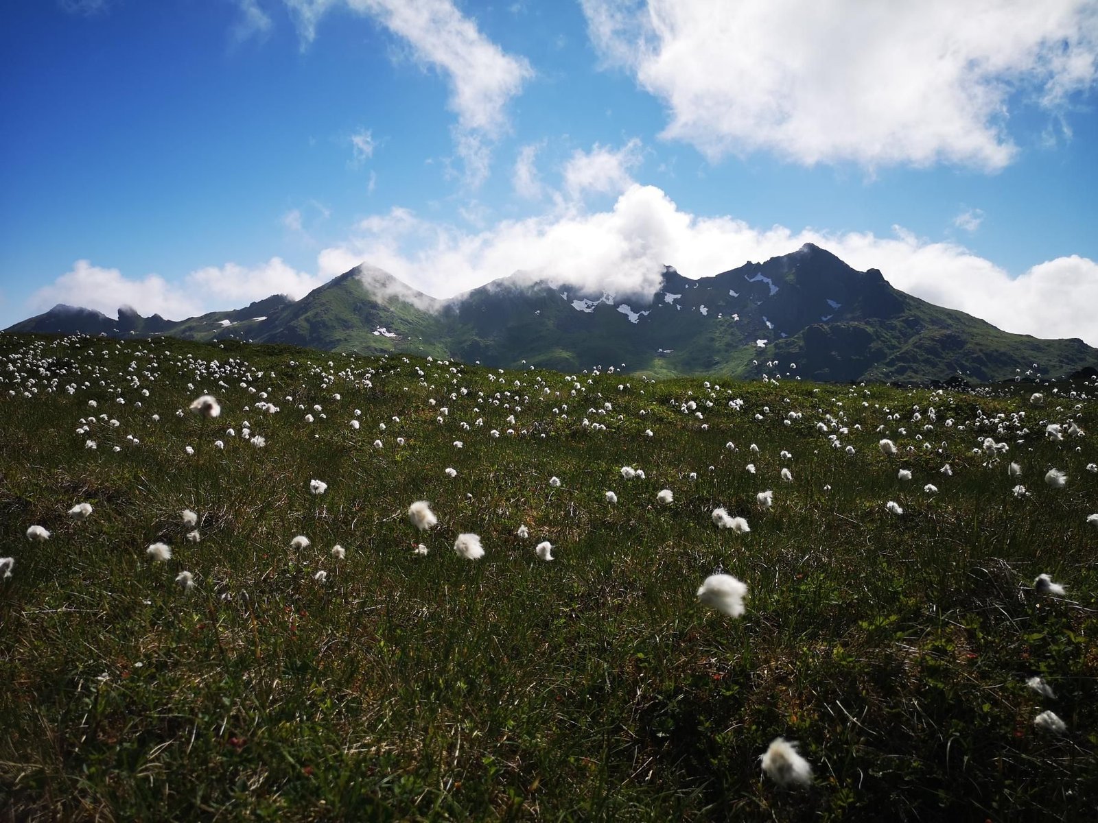
    The Keiservarden is named for Kaiser Wilhelm II, who climbed it in 1889 – and the view over the Raftsund and the Trollfjord mountains explains why. From Digermulveien you go over the Digermulkollen (363 m) to the Keiservarden (384 m), a short but steep climb.

    In July 2022, at an unusual 24 °C in sunshine, that was seven kilometres and 478 m of ascent in three and three-quarter hours – carrier hike number 27 and our first in the Lofoten.

    Low, but truly alpine in outlook; the path is well marked and no problem with the carrier.

    Gallery

    3D map

  • Abisko National Park, Sweden

    Abisko National Park, Sweden

    Distance
    5.5 km
    Ascent
    63 hm
    Duration
    2:07 h
    Season
    Early summer
    Weather
    18 °C, partly cloudy
    Stroller
    No
    Carrier
    Yes
    Hut stop
    No
    Tour
    Day trip

    Walked once

    Date Season Distance Ascent Duration Stroller Weather
    ★ Early summer 5.5 km 63 hm 2:07 h No 18 °C, partly cloudy

    Abisko is the start of the Kungsleden, and the short loop from the national park centre along the Abiskojåkka gorge is the family entry point: 5.5 km, 63 m of ascent, birch forest, water and the view of the Lapporten.

    Late June 2022, partly cloudy at 18 °C, two hours from start to finish – carrier hike number 26 and the first walking day of the journey north.

    Not a mountain but landscape; doable with a pushchair, and with the carrier anyway.

    Gallery

    3D map