Region: Tyrol

  • Kranzhorn from Erl

    Kranzhorn from Erl

    Distance
    7.8 km
    Ascent
    596 hm
    Duration
    4:50 h
    Season
    Spring
    Weather
    8 °C, sunny
    Stroller
    No
    Carrier
    Yes
    Hut stop
    Yes Kranzhorn Alm
    Tour
    Day trip

    Walked once

    Date Season Distance Ascent Duration Stroller Weather
    ★ Spring 7.8 km 596 hm 4:50 h No 8 °C, sunny

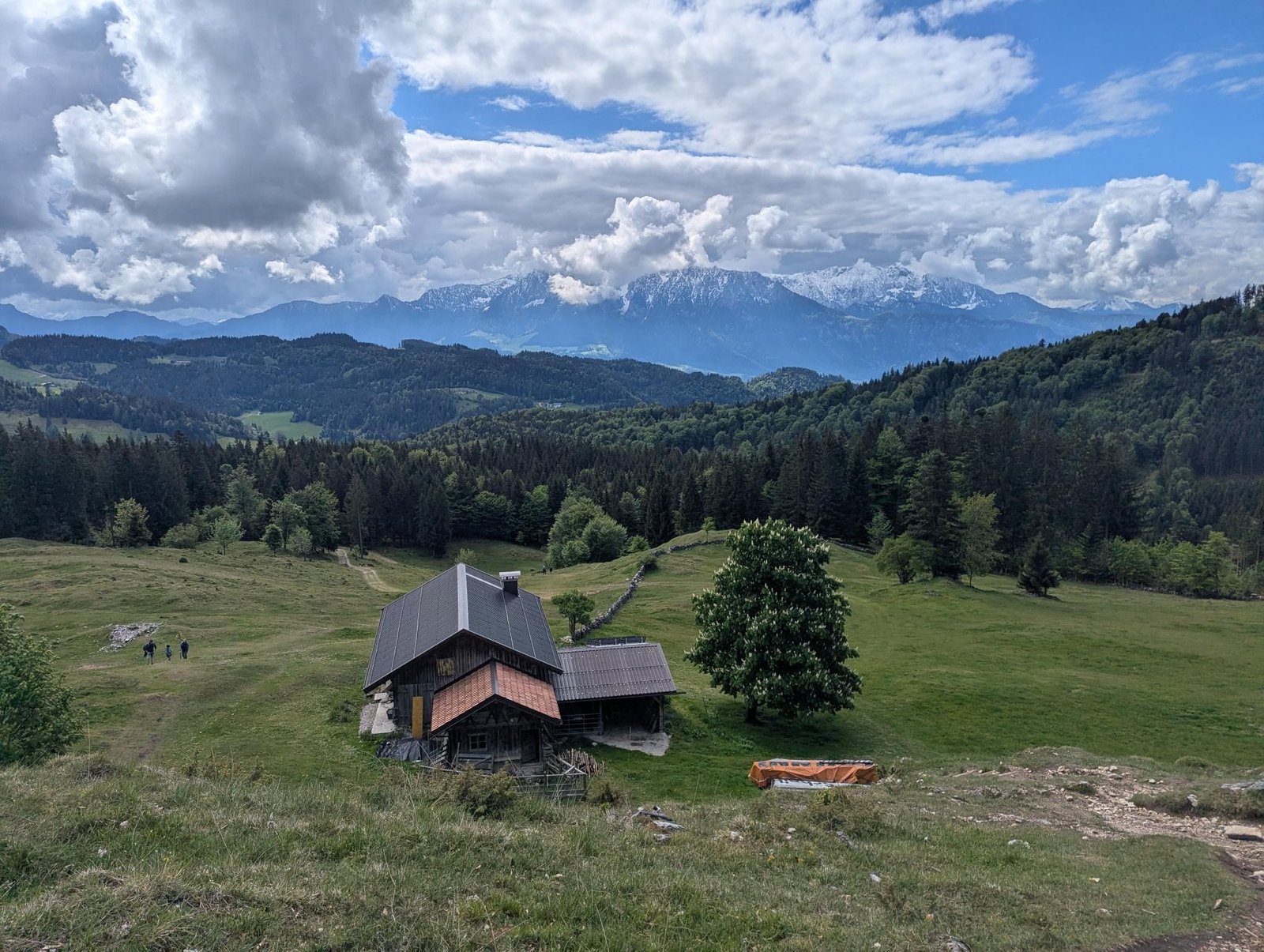
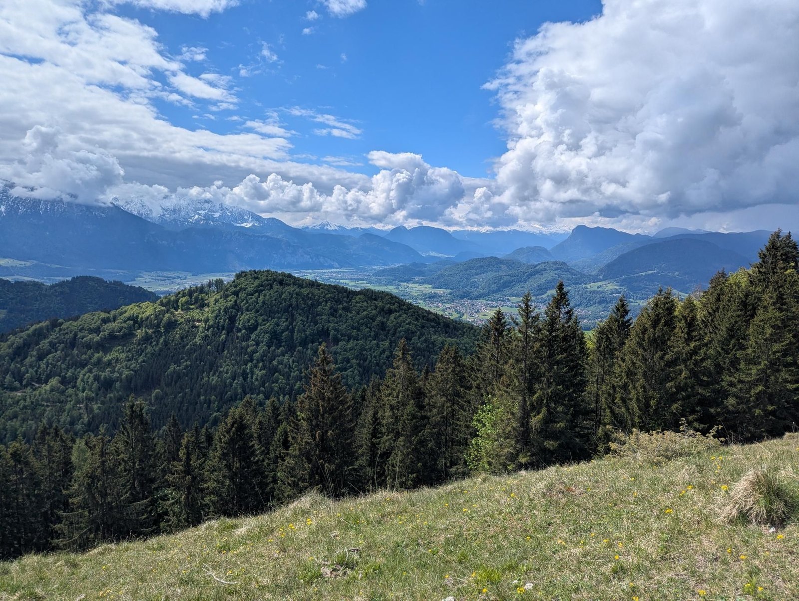
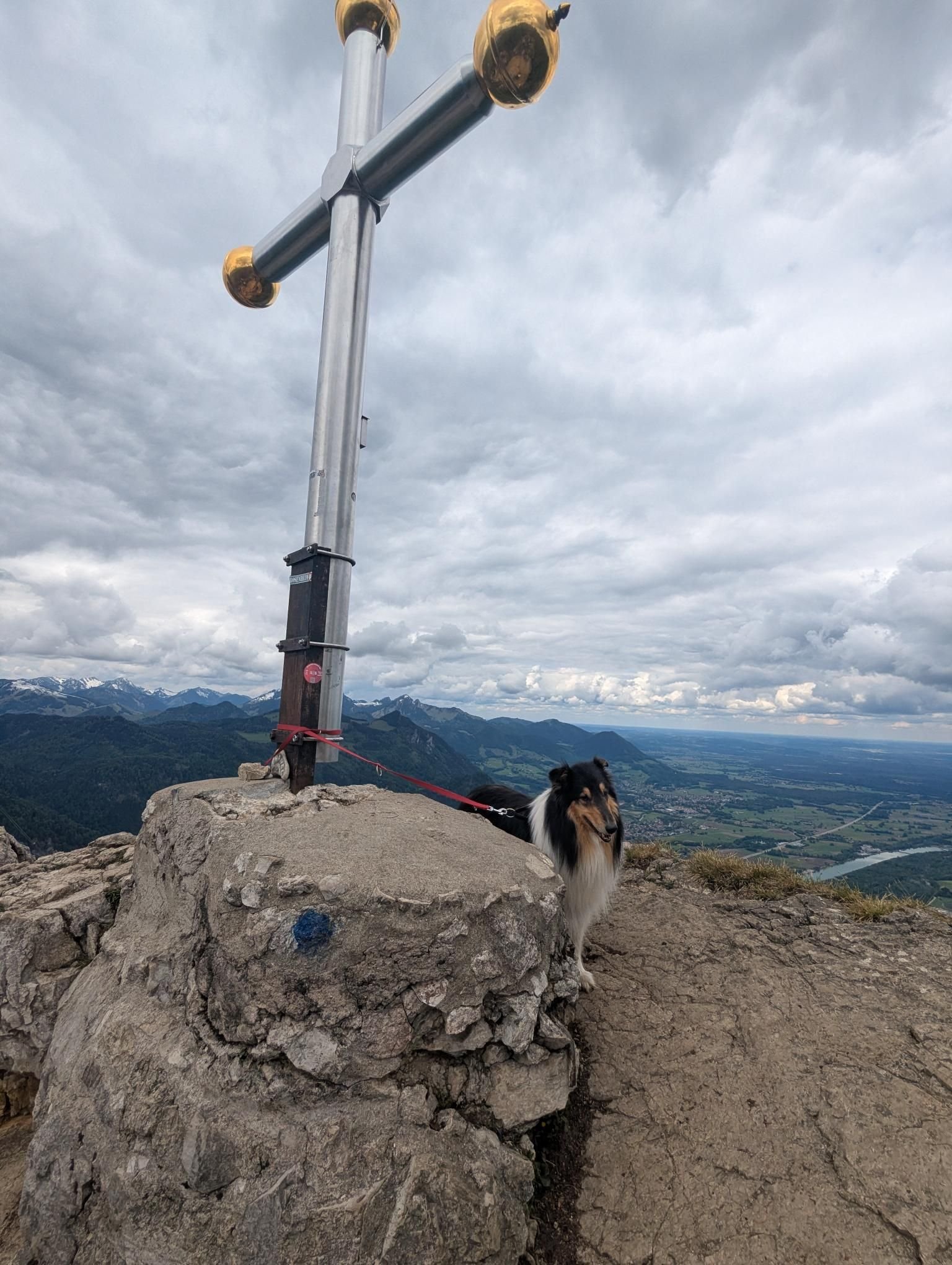
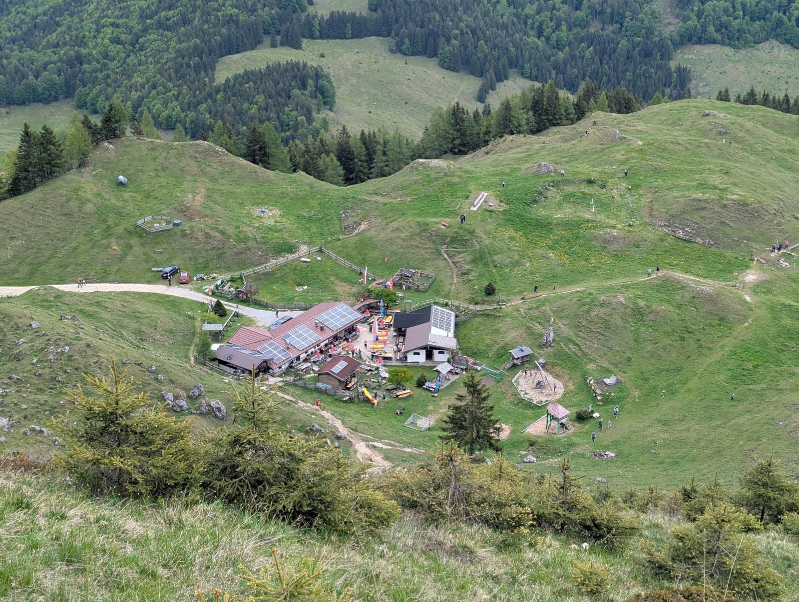
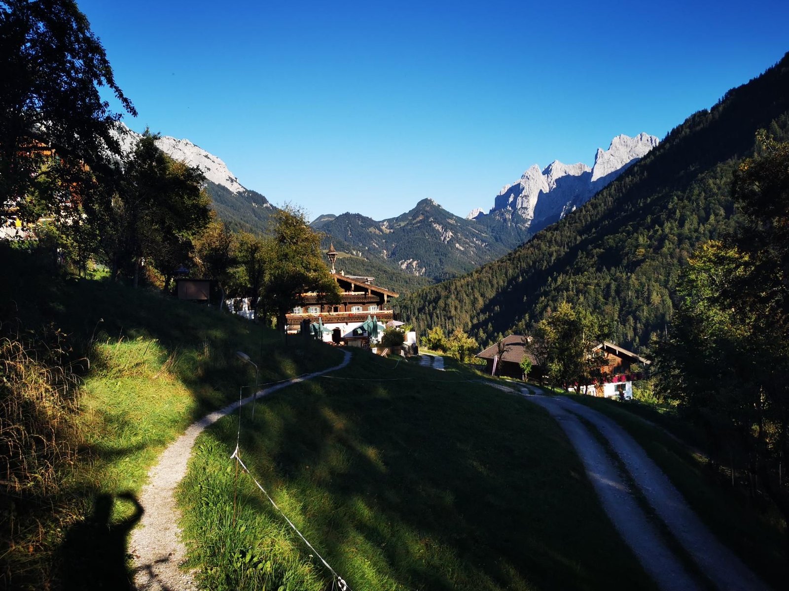
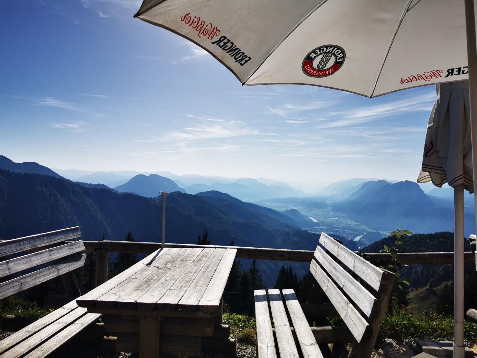
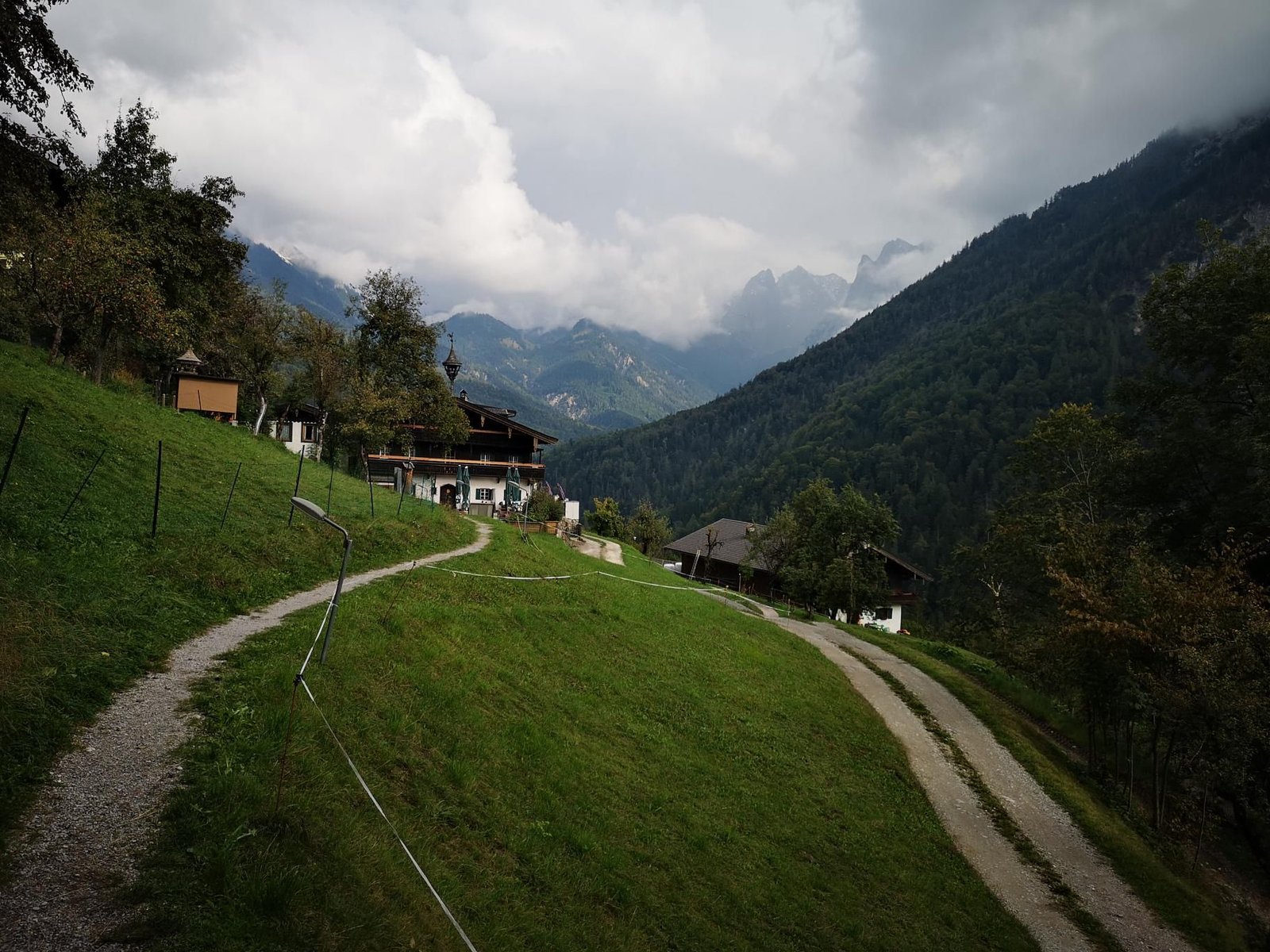
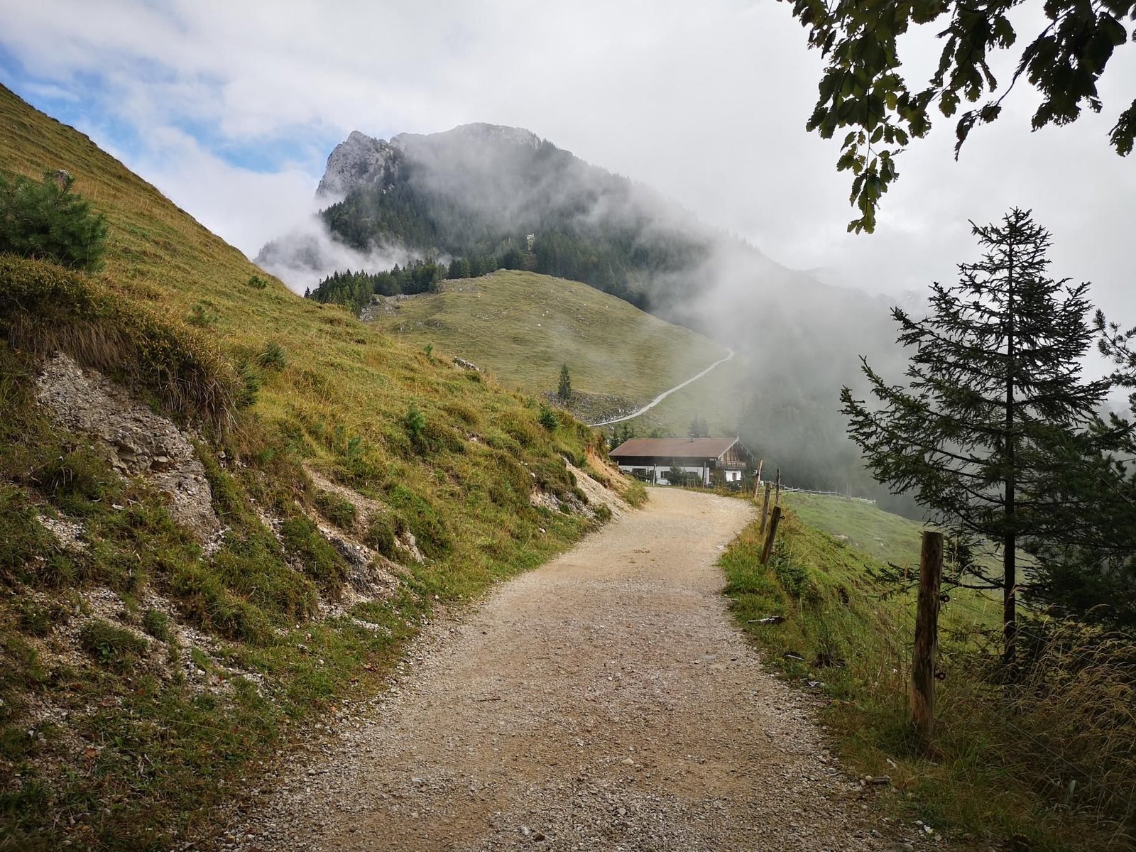
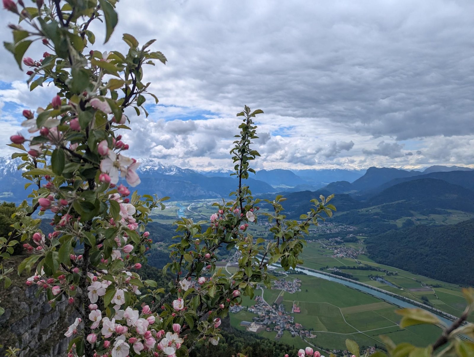
    The Kranzhorn is the mountain with two summit crosses – one Bavarian, one Tyrolean, the border runs over the top. From Erl you climb past the Kranzalm to the Kranzhorn shelter hut (1,230 m) and the last metres to the summit (1,368 m).

    In May 2026, sunny at eight degrees, that was 7.8 km and 596 m of ascent in just under five hours – and Magalie walked the whole loop herself. At the hut: coffee good, playground good, cake not so much; the picnic benches on the meadow next door are the better choice.

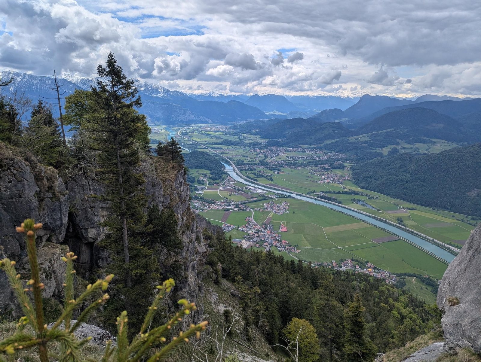
    A rewarding summit for school-age kids: the view runs over the Inn valley to the Kaiser, and two crosses beat one.

    Gallery
    3D map

    Hut stop

  • Spitzsteinhaus from Erl

    Spitzsteinhaus from Erl

    Distance
    5.5 km
    Ascent
    285 hm
    Duration
    4:51 h
    Season
    Autumn
    Weather
    6 °C, drizzle
    Stroller
    No
    Carrier
    Yes
    Hut stop
    Yes Spitzsteinhaus
    Tour
    Day trip

    Walked once

    Date Season Distance Ascent Duration Stroller Weather
    ★ Autumn 5.5 km 285 hm 4:51 h No 6 °C, drizzle

    The Spitzsteinhaus stands at 1,252 m below the Spitzstein, and from the Erlerberg it is a short walk: 5.5 km there and back, 285 m of ascent, the Altkaser Alm right next door.

    In October 2025, drizzle at six degrees, we were out for almost five hours – start to finish, most of it inside by the stove. Carrier hike number 72.

    A bad-weather destination with kids: short approach, big dining room, and when it clears the Spitzstein is right outside the door.

    Gallery

    3D map

    Hut stop

  • Anhalter Hütte and Steinjöchle

    Anhalter Hütte and Steinjöchle

    Distance
    6.7 km
    Ascent
    582 hm
    Duration
    4:53 h
    Season
    Summer
    Weather
    16 °C, drizzle
    Stroller
    No
    Carrier
    Yes
    Hut stop
    Yes Anhalter Hütte
    Tour
    Multi-day trip

    Walked once

    Date Season Distance Ascent Duration Stroller Weather
    ★ Summer 6.7 km 582 hm 4:53 h No 16 °C, drizzle

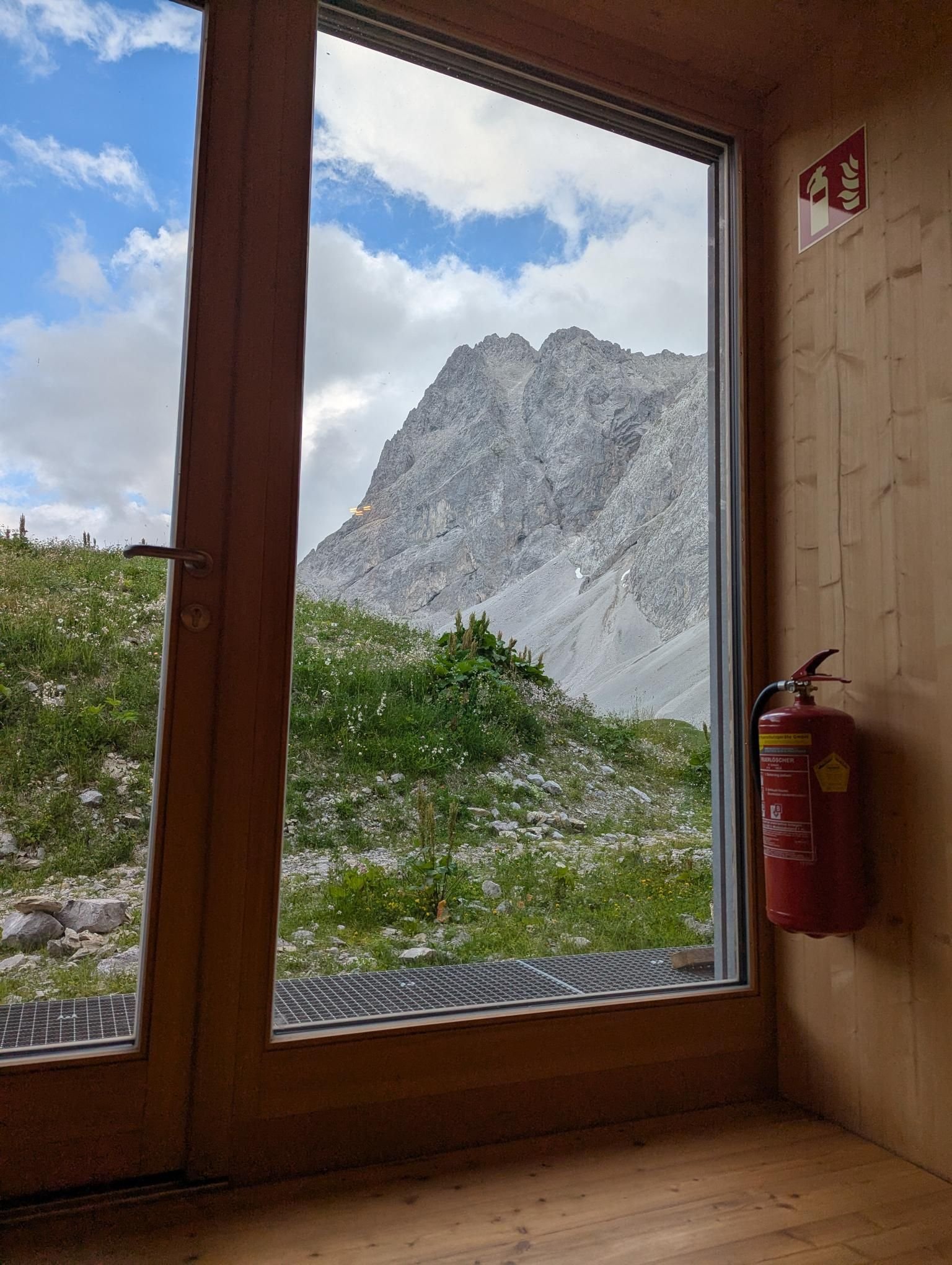
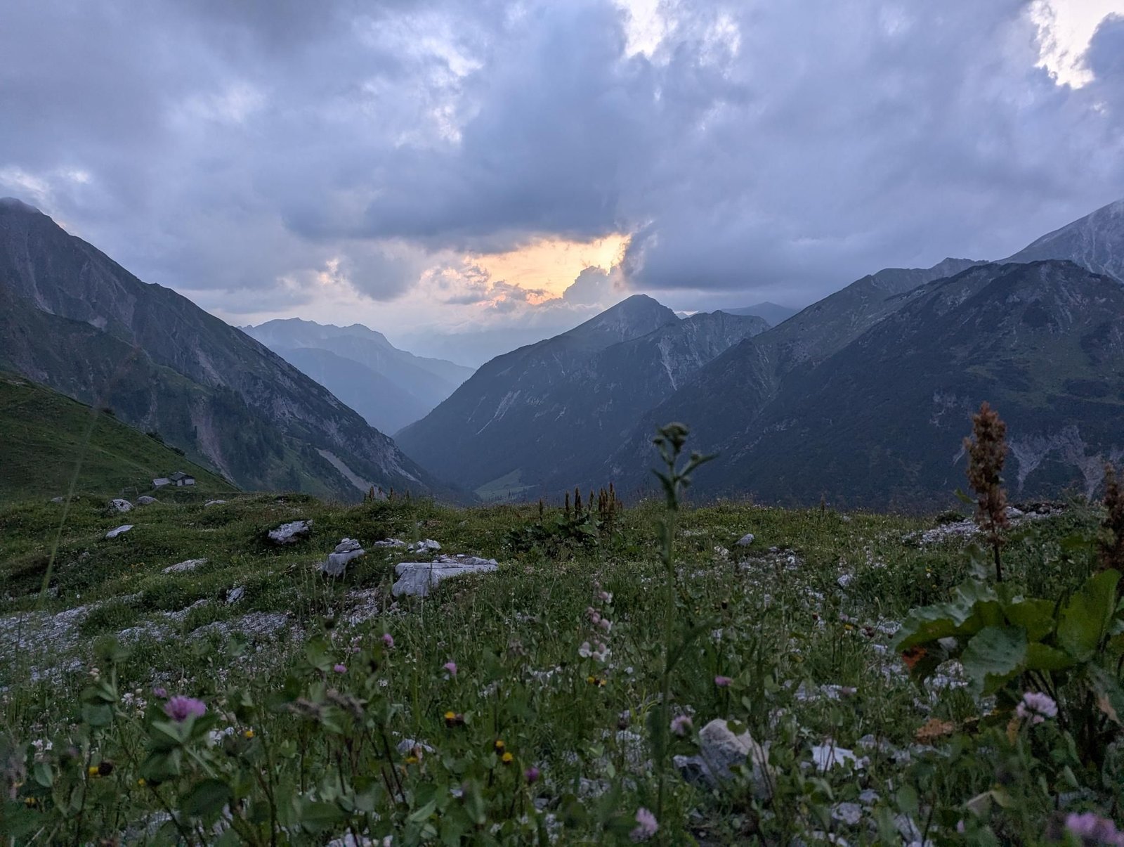
    From the Hahntennjoch road it is only 3.7 km and just under 400 m of ascent up to the Anhalter Hütte at 2,038 m – but the hut sits so that you want to stay. So two days: the climb with marmots on the way, a night at the hut, a short trip to the Steinjöchle (2,198 m), the descent.

    In July 2025, drizzle at 16 °C, we mostly watched ibex, for hours, straight from the hut. Both stages together: 6.7 km and 582 m of ascent, with plenty of time in between.

    One of the easiest hut nights with small children we know: short approach, high-alpine terrain, animals guaranteed.

    Gallery

    3D map

    Hut stop

  • Falkenhütte through the Laliderer valley

    Falkenhütte through the Laliderer valley

    Distance
    24.6 km
    Ascent
    1,010 hm
    Duration
    9:55 h
    Season
    Summer
    Weather
    16 °C, drizzle
    Stroller
    Yes
    Carrier
    Yes
    Hut stop
    Yes Falkenhütte
    Tour
    Multi-day trip

    Walked once

    Date Season Distance Ascent Duration Stroller Weather
    ★ Summer 24.6 km 1,010 hm 9:55 h No 16 °C, drizzle

    Warning: Only the Johannisbach valley is good with a stroller, the Lalider-valley is not. Please read the text.

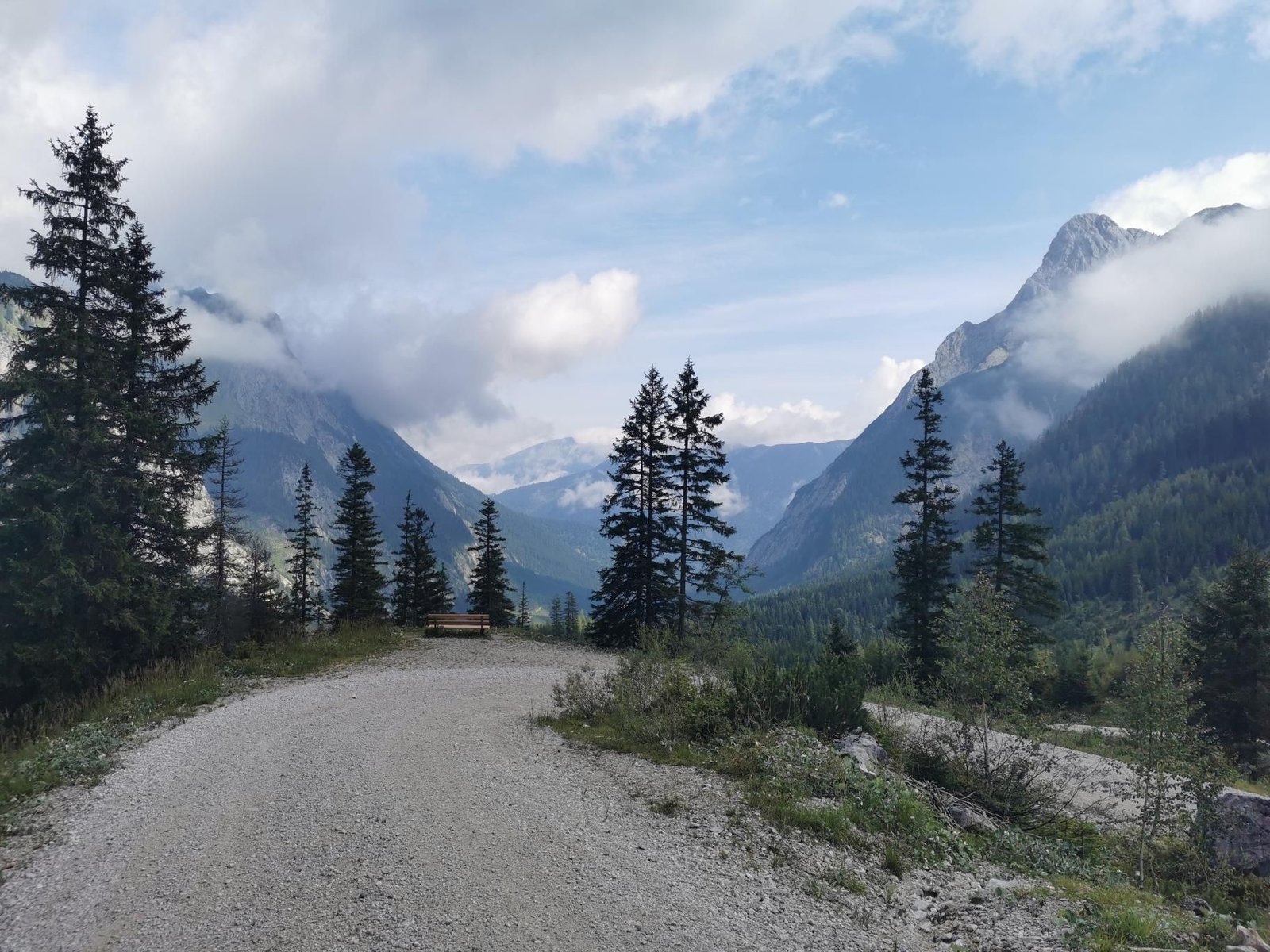
    The Falkenhütte stands below the Laliderer walls, one of the most impressive backdrops in the Karwendel. In August 2024 we walked up from the Lalidertal road through the Laliderer valley – twelve kilometres and 950 m of ascent on day one –, slept at the hut and returned to the valley on day two.

    The plan with the double trailer did not work out: the path gets too steep and too rough higher up, and in the end we hauled the trailer and carried the kids separately. Strava verdict: ‘Bad idea to pick this tour.’ That is why this tour says stroller: no, even though it came along.

    With the carrier and without the trailer the Falkenhütte is a great two-day trip: the hut is freshly renovated, the view of the walls unforgettable, and the marmots on the meadows are the kids’ entertainment.

    With and without the trailer

    The double trailer came along but is no longer rideable from the upper Laliderer valley – verdict: don’t repeat. Carrier only for this one.

    Gallery

    3D map

    Hut stop

  • Möslalm from Wörgl

    Möslalm from Wörgl

    Distance
    6.2 km
    Ascent
    429 hm
    Duration
    6:34 h
    Season
    Spring
    Weather
    20 °C, partly cloudy
    Stroller
    No
    Carrier
    Yes
    Hut stop
    Yes Almgasthof Möslalm
    Tour
    Day trip

    Walked once

    Date Season Distance Ascent Duration Stroller Weather
    ★ Spring 6.2 km 429 hm 6:34 h No 20 °C, partly cloudy

    The Möslalm sits at 960 m above Wörgl, and the way up from Möslalmweg is short and family-friendly. In May 2024 we went with the DAV kids’ group: 6.2 km, 429 m of ascent – and six and a half hours from start to finish.

    Partly cloudy at 20 °C, many breaks, many kids, an alpine inn with a meadow as the goal. The time says nothing about the path and everything about the group.

    On your own a matter of two hours; as a group outing just right.

    Gallery

    3D map

    Hut stop

  • Kaisertal – Veitenhof and Vorderkaiserfeldenhütte

    Kaisertal – Veitenhof and Vorderkaiserfeldenhütte

    Distance
    17.0 km
    Ascent
    929 hm
    Duration
    8:31 h
    Season
    Late summer walked 2×
    Weather
    18 °C, sunny
    Stroller
    Yes
    Carrier
    Yes
    Hut stop
    Yes Vorderkaiserfeldenhütte
    Tour
    Multi-day trip

    Walked 2 times

    Date Season Distance Ascent Duration Stroller Weather
    Late summer 14.2 km 1,028 hm 8:13 h No 16 °C, rain
    ★ Late summer 17.0 km 929 hm 8:31 h Yes 18 °C, sunny

    Our Kaisertal weekend in three stages: on day one from Ebbs up the Kaiseraufstieg to the Gasthaus Veitenhof (724 m), where we sleep; on day two from there via the Ritzaualm (1,161 m) to the Vorderkaiserfeldenhütte at 1,388 m and back; on day three out to Ebbs. That is how we went in September 2022 in rain and in September 2023 in sunshine – as a birthday hike.

    In 2023 we had the double trailer with us. The walk in over the steps of the Kaiseraufstieg was hard work with it (in the original: ‘damn steps at the start’), but up in the valley it rolls fine on the access road to the Ritzaualm; the final climb to the hut is a footpath. The map shows those three stages: 17 km and 930 m of ascent in total.

    Without the trailer the Kaiseraufstieg is an ordinary twenty-minute staircase; the day trip to the hut is a relaxed six-hour day with the carrier, with a stop at the Ritzaualm.

    With and without the trailer

    With the double trailer (2023): carry it up the steps of the Kaiseraufstieg, access road in the valley to the Ritzaualm, final climb on foot. Without the trailer (2022): the same way, far more relaxed at the start.

    Gallery
    3D map

    Hut stop

  • Kolm Saigurn in the Rauris valley

    Kolm Saigurn in the Rauris valley

    Distance
    6.1 km
    Ascent
    3 hm
    Duration
    1:41 h
    Season
    Spring
    Weather
    6 °C, partly cloudy
    Stroller
    Yes
    Carrier
    Yes
    Hut stop
    Yes Bodenhaus
    Tour
    Day trip

    Walked once

    Date Season Distance Ascent Duration Stroller Weather
    ★ Spring 6.1 km 3 hm 1:41 h Yes 6 °C, partly cloudy

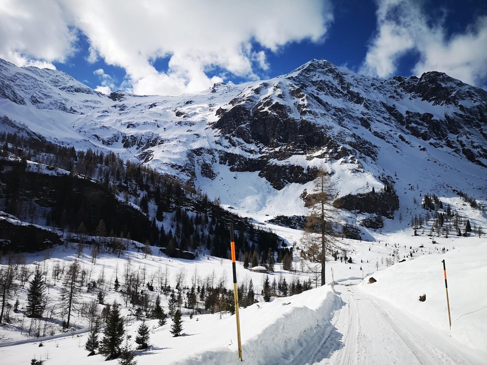
    Kolm Saigurn is the head of the Rauris valley, a bowl at 1,600 m below the Hoher Sonnblick. In March 2023 we walked from the Imhofstollen to the Salateralm and back – 6.1 km, practically no ascent, at six degrees.

    No summit, no hut open, but snow, sun and a valley to yourselves. An hour and three quarters from start to finish.

    A destination for a pushchair or a sled when the rest of the mountains are too high or too wintry.

    Gallery

    3D map

    Hut stop

  • Hoher Sattel, Leutasch

    Hoher Sattel, Leutasch

    Distance
    3.1 km
    Ascent
    367 hm
    Duration
    1:02 h
    Season
    Winter
    Weather
    -2 °C, partly cloudy
    Stroller
    No
    Carrier
    Yes
    Hut stop
    No
    Tour
    Day trip

    Walked once

    Date Season Distance Ascent Duration Stroller Weather
    ★ Winter 3.1 km 367 hm 1:02 h No -2 °C, partly cloudy

    The Hoher Sattel is the pass between Leutasch and Scharnitz, and from Emmat you reach it in barely an hour: 3.1 km, 367 m of ascent, up through the winter woods to 1,495 m.

    In February 2022 it was minus two degrees and partly cloudy, one hour from start to finish – carrier hike number 21 and one of the shortest. The view runs into the Leutasch valley and to the Wetterstein.

    A short winter destination without a hut; for an afternoon or as a warm-up for longer days in the Leutasch valley.

    Gallery

    3D map

  • Kaisertal – Stripsenjochhaus (two nights)

    Kaisertal – Stripsenjochhaus (two nights)

    Distance
    27.3 km
    Ascent
    1,380 hm
    Duration
    8:29 h
    Season
    Late summer
    Weather
    18 °C, sunny
    Stroller
    No
    Carrier
    Yes
    Hut stop
    Yes Stripsenjochhaus
    Tour
    Multi-day trip

    Walked once

    Date Season Distance Ascent Duration Stroller Weather
    ★ Late summer 27.3 km 1,380 hm 8:29 h No 18 °C, sunny

    The Kaisertal is car-free, so every tour there starts with the Kaiseraufstieg from Ebbs up into the valley. In September 2021 we walked to our lodging in the afternoon – 2.6 km, 275 m of ascent on the steps – to start fresh the next morning.

    Day two was the big one: from the valley floor past the Anton-Karg-Haus (829 m) and Hans-Berger-Haus (936 m) up to the Stripsenjoch (1,577 m) and the Stripsenjochhaus at 1,602 m, right below the Totenkirchl. There and back 21.8 km and 1,090 m of ascent, a good seven hours – our carrier half-marathon. Day three: the three kilometres back to Ebbs.

    The map shows all three stages. Day two is too long for kids on their own feet; with two nights in the valley it becomes a weekend with the Wilder Kaiser at your door.

    Gallery

    3D map

    Hut stop

  • Peter-Wiechenthaler-Hütte near Saalfelden

    Peter-Wiechenthaler-Hütte near Saalfelden

    Distance
    16.0 km
    Ascent
    1,065 hm
    Duration
    4:48 h
    Season
    Summer
    Weather
    16 °C, overcast
    Stroller
    No
    Carrier
    Yes
    Hut stop
    Yes Peter-Wiechenthaler-Hütte
    Tour
    Multi-day trip

    Walked once

    Date Season Distance Ascent Duration Stroller Weather
    ★ Summer 16.0 km 1,065 hm 4:48 h No 16 °C, overcast

    The Peter-Wiechenthaler-Hütte clings to the Steinernes Meer above Saalfelden, and the approach from Bachwinkl is uncompromising: 7.6 km and 1,057 m of ascent, almost all in the woods, until the hut appears at 1,752 m. A night there, then 8.4 km back to the valley on day two.

    In August 2021 this was our tenth carrier hike and the most demanding so far – ‘level 4’ in Strava. Overcast at 16 °C, 16 km and almost 1,070 m of ascent in total, four and a half hours of walking over two days.

    Carrier and fitness only; in return a hut overlooking the whole Saalfelden basin and an evening far from everything.

    Gallery

    3D map

    Hut stop