Region: Walchensee & Garmisch

  • St. Martin am Grasberg, Garmisch

    St. Martin am Grasberg, Garmisch

    Distance
    6.1 km
    Ascent
    506 hm
    Duration
    4:34 h
    Season
    Spring, Autumn walked 2×
    Weather
    13 °C, sunny
    Stroller
    No
    Carrier
    Yes
    Hut stop
    Yes St. Martin am Grasberg
    Tour
    Day trip

    Walked 2 times

    Date Season Distance Ascent Duration Stroller Weather
    Autumn 6.4 km 239 hm 2:39 h No 14 °C, partly cloudy
    ★ Spring 6.1 km 506 hm 4:34 h No 13 °C, sunny

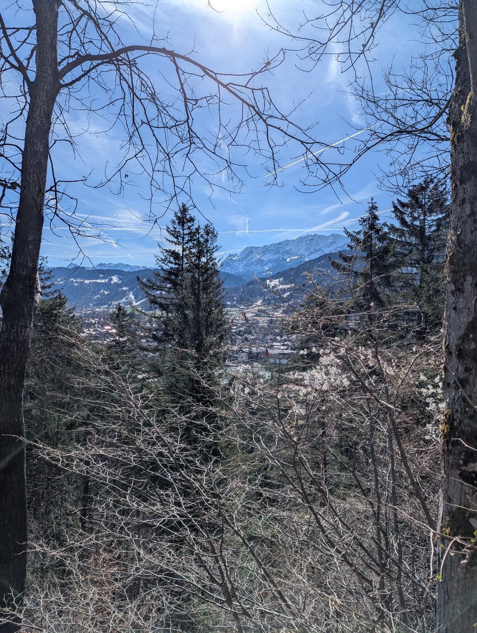
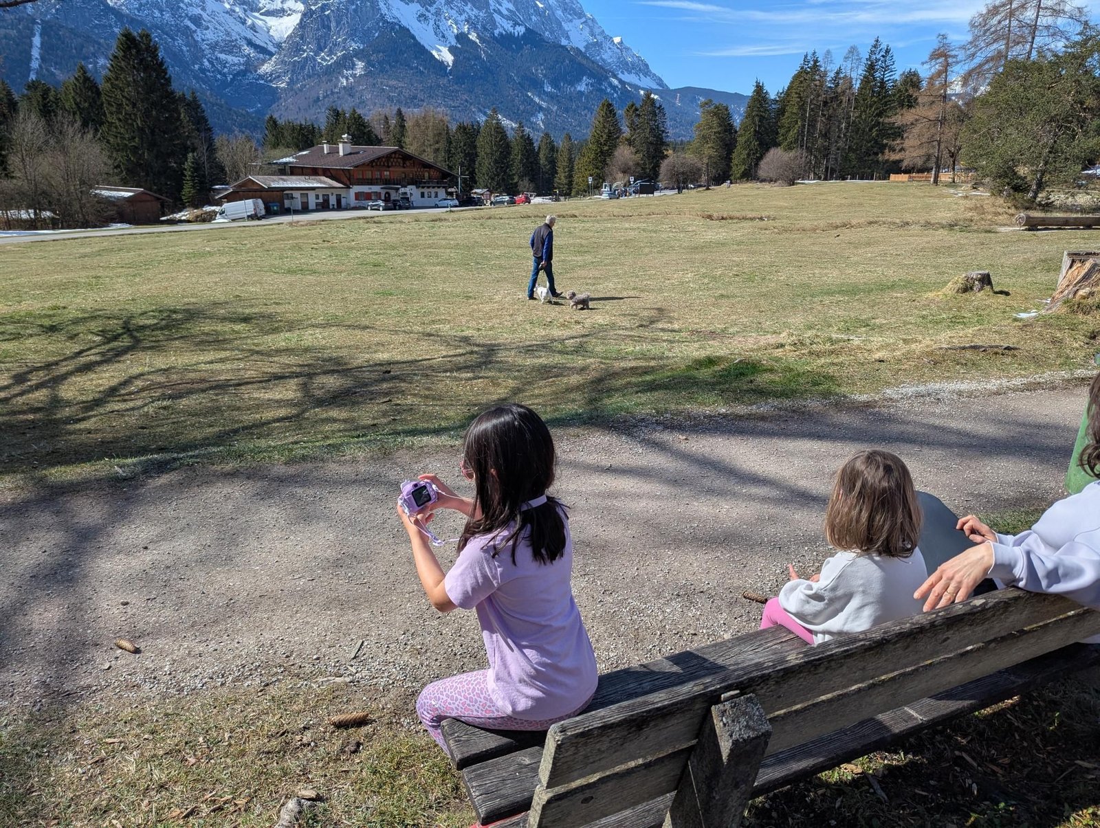
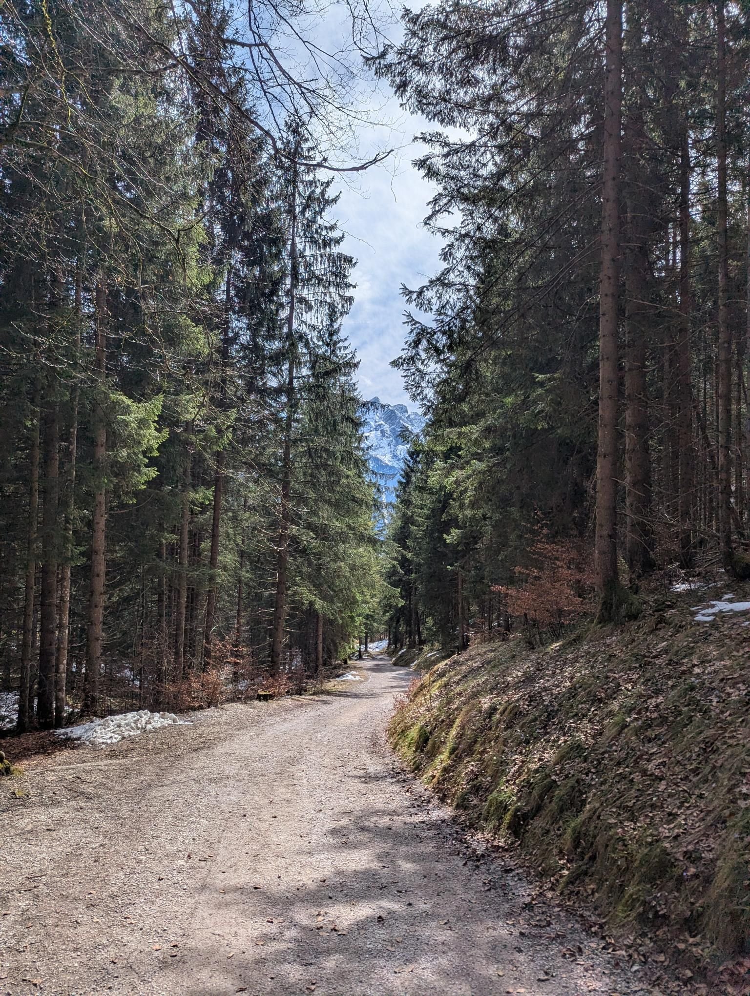
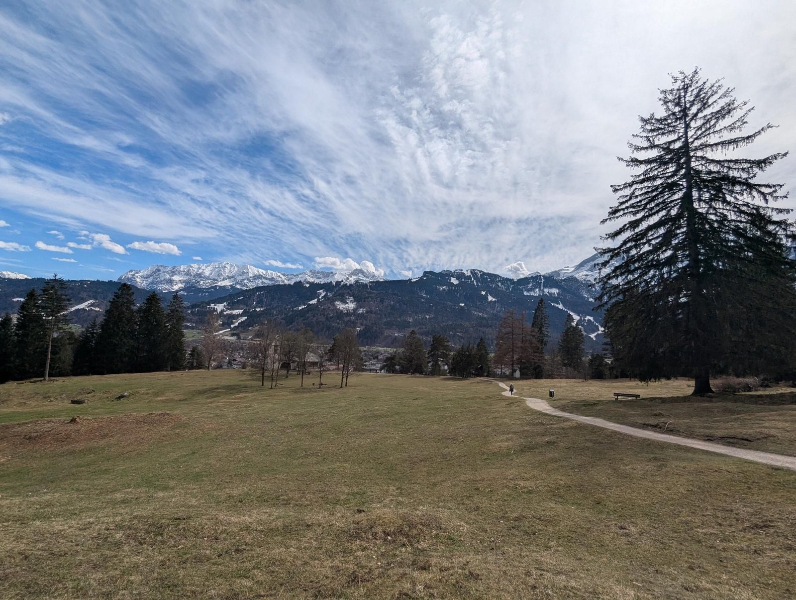
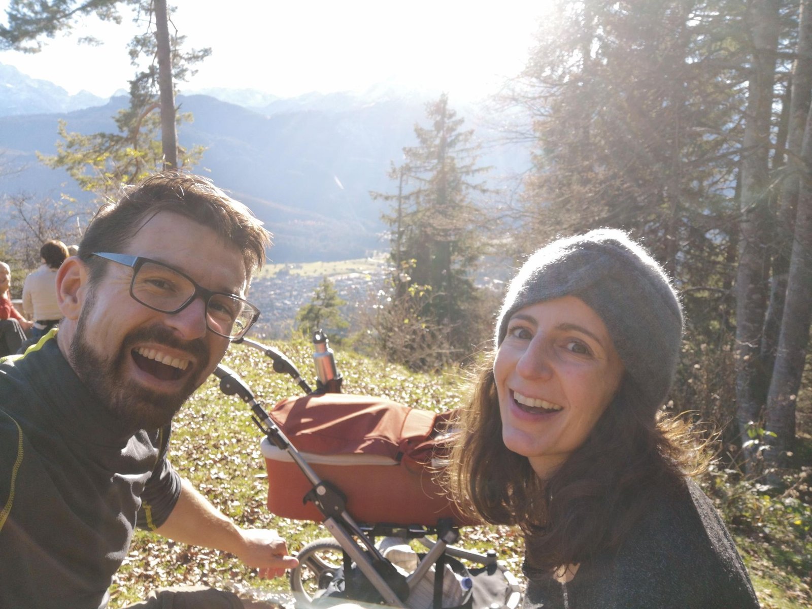
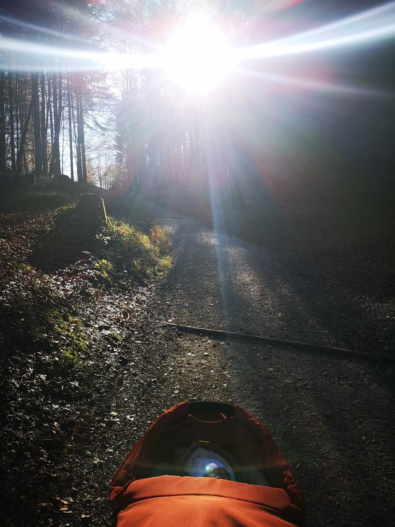
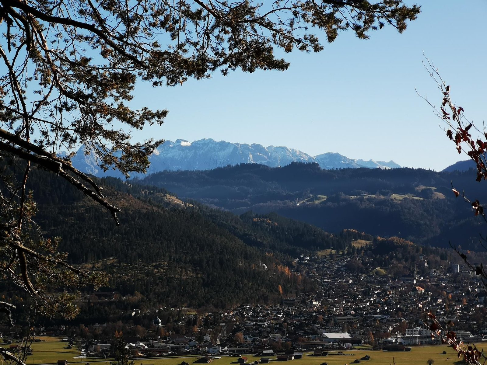
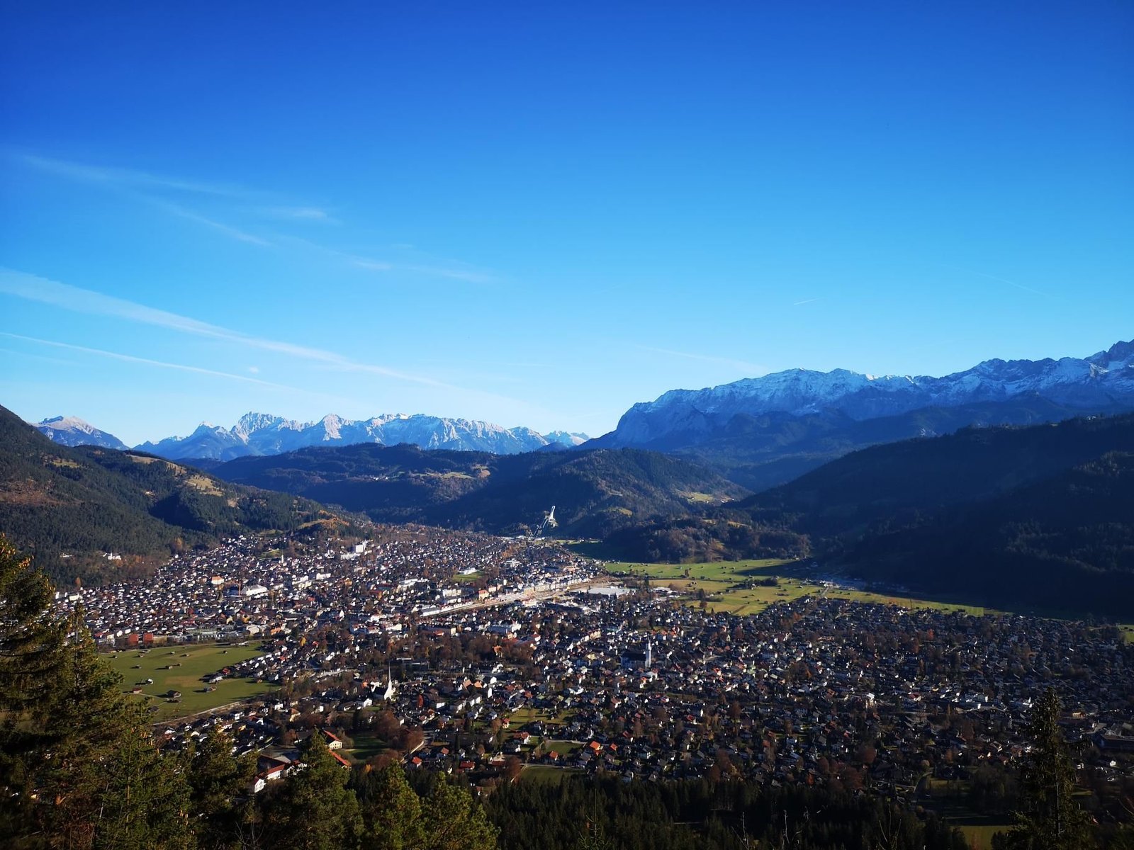
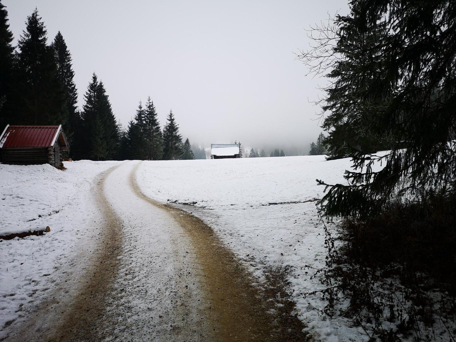
    St. Martin am Grasberg is the mountain inn on the Kramer above Garmisch, a good hour from town. The path climbs through the woods past the Schwarze Wand; at the top a terrace and the whole Wetterstein in front of you.

    The first time we went was November 2020, in our second month with a child: from Partenkirchen, 6.4 km and 240 m of ascent in two and a half hours at 14 °C. Then in April 2026 from Garmisch, sunny at 13 °C, 6.1 km and 506 m of ascent in four and a half hours from start to finish – most of it on the terrace. The map shows the 2026 loop.

    A classic for families in Garmisch, with the carrier or on foot; to go further, continue via the Windbeutelalm onto the Kramer plateau.

    Gallery

    3D map

    Hut stop

  • New Year’s hike: Kramer plateau and Windbeutelalm

    New Year’s hike: Kramer plateau and Windbeutelalm

    Distance
    6.3 km
    Ascent
    559 hm
    Duration
    2:48 h
    Season
    Winter
    Weather
    6 °C, partly cloudy
    Stroller
    No
    Carrier
    Yes
    Hut stop
    Yes Windbeutelalm
    Tour
    Day trip

    Walked once

    Date Season Distance Ascent Duration Stroller Weather
    ★ Winter 6.3 km 559 hm 2:48 h No 6 °C, partly cloudy

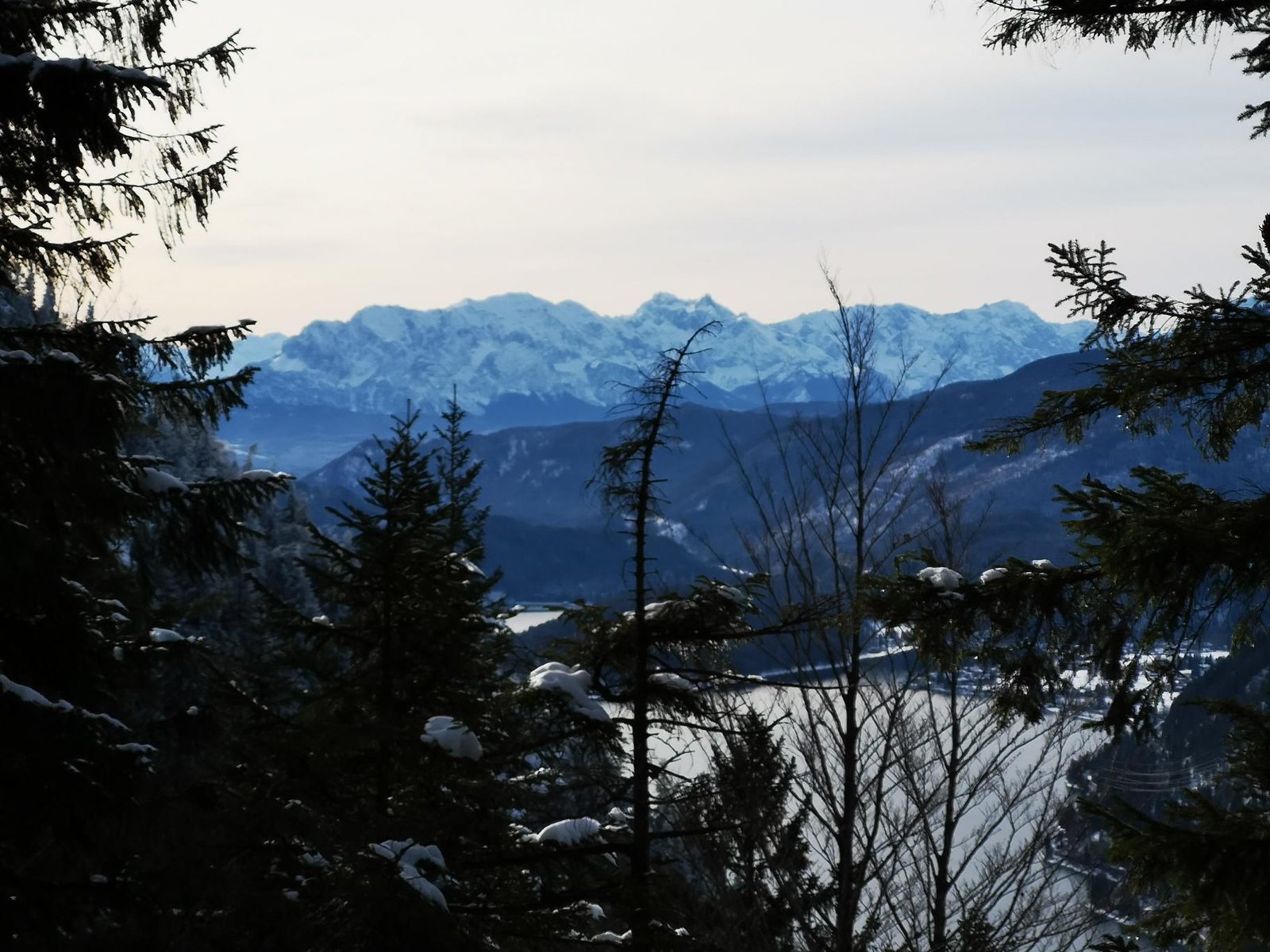
    Halfway up the Kramer above Garmisch there is a plateau with the Kramerplateauweg and the Windbeutelalm – a destination that works in winter too. From the Maximilianshöhe the path climbs through the woods to almost 1,290 m, with views of Zugspitze and Wetterstein.

    On New Year’s Day 2022, partly cloudy at six degrees, that was 6.3 km and 559 m of ascent in just under three hours. Magalie walked the last kilometre herself, at her own pace, which explains the time.

    A half-day tour for the carrier and small legs; the Windbeutelalm sits on the way and is open in winter.

    Gallery
    3D map

    Hut stop

  • Herzogstand from Walchensee

    Herzogstand from Walchensee

    Distance
    6.2 km
    Ascent
    897 hm
    Duration
    3:07 h
    Season
    Late summer
    Weather
    11 °C, overcast
    Stroller
    No
    Carrier
    Yes
    Hut stop
    Yes Berggasthaus Herzogstand
    Tour
    Day trip

    Walked once

    Date Season Distance Ascent Duration Stroller Weather
    ★ Late summer 6.2 km 897 hm 3:07 h No 11 °C, overcast

    The Herzogstand is the most famous viewpoint above the Walchensee, and we stood on top for the first time in September 2021 – as a birthday hike. From the B 11 by the lake the path climbs steeply and directly to the Berggasthaus Herzogstand (1,575 m), then over the Martinskopf (1,676 m) to the summit pavilion at 1,731 m.

    6.2 km and 897 m of ascent in a good three hours from start to finish, overcast at eleven degrees: short but tough. From the top the deep-blue Walchensee, the Kochelsee behind it and, on clear days, Munich.

    A serious but rewarding tour with the carrier; to save the ascent, take the Herzogstandbahn and walk only the summit ridge.

    Gallery

    3D map

    Hut stop

  • Tutzinger Hütte from Benediktbeuern

    Tutzinger Hütte from Benediktbeuern

    Distance
    18.0 km
    Ascent
    757 hm
    Duration
    7:23 h
    Season
    Summer
    Weather
    19 °C, partly cloudy
    Stroller
    No
    Carrier
    Yes
    Hut stop
    Yes Tutzinger Hütte
    Tour
    Day trip

    Walked once

    Date Season Distance Ascent Duration Stroller Weather
    ★ Summer 18.0 km 757 hm 7:23 h No 19 °C, partly cloudy

    The Tutzinger Hütte lies at the foot of the Benediktenwand, and the way there from Benediktbeuern is long but never difficult: out of the village on forest roads up through the Lainbach valley until the wall towers above you.

    In July 2021 that was 18 km and 757 m of ascent in seven and a half hours from start to finish, partly cloudy at 19 °C – hiking with the carrier #2, and we hadn’t quite trusted ourselves with the distance. The hut made up for it.

    Doable with the carrier if you have the day for it; too long for kids on their own feet. The track is wide enough to walk side by side.

    Gallery

    3D map

    Hut stop

  • Jochberg from the Kesselberg pass

    Jochberg from the Kesselberg pass

    Distance
    8.7 km
    Ascent
    651 hm
    Duration
    3:40 h
    Season
    Winter
    Weather
    1 °C, sunny
    Stroller
    No
    Carrier
    Yes
    Hut stop
    No
    Tour
    Day trip

    Walked once

    Date Season Distance Ascent Duration Stroller Weather
    ★ Winter 8.7 km 651 hm 3:40 h No 1 °C, sunny

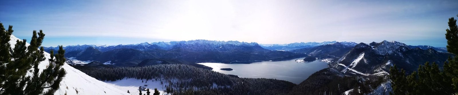
    The Jochberg is the viewpoint between Walchensee and Kochelsee, and from the Kesselberg pass it is the shortest way to a big view: first through the woods, then past the Jocheralm onto the open ridge. In late December 2020 we got to a good 1,480 m, just below the summit cross (1,565 m), before snow and baby time set the turning point.

    8.7 km and 651 m of ascent in three and three-quarter hours from start to finish, sunny at one degree – with Magalie on our back, a few months old at the time.

    In summer one of the most popular family hikes around, in winter only in safe conditions; the view of the turquoise Walchensee is the reason in every season.

    Gallery
    3D map

  • Around Elmau in the fog

    Around Elmau in the fog

    Distance
    7.7 km
    Ascent
    274 hm
    Duration
    2:09 h
    Season
    Autumn
    Weather
    2 °C, sunny
    Stroller
    Yes
    Carrier
    Yes
    Hut stop
    No
    Tour
    Day trip

    Walked once

    Date Season Distance Ascent Duration Stroller Weather
    ★ Autumn 7.7 km 274 hm 2:09 h No 2 °C, sunny

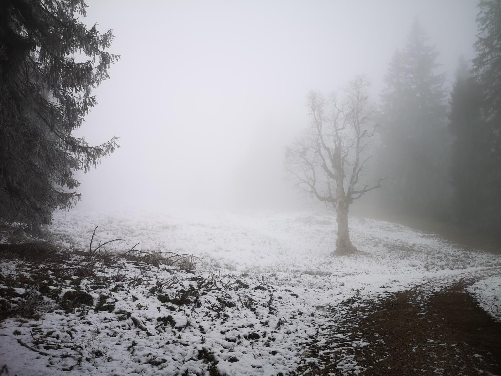
    The Elmau valley between Klais and the Wetterstein is often shrouded in fog in late autumn, and that is exactly how we found it in late November 2020: a loop on wide tracks around Schloss Elmau, between 1,030 and 1,280 m, with wisps of fog in the woods and sun above.

    7.7 km and 274 m of ascent in a good two hours at two degrees – a short, cold loop in our second month with a child.

    Pushchair- and carrier-friendly, usually groomed as a winter walking trail; the castle’s restaurants are for hotel guests, so bring a thermos.

    Gallery

    3D map